2000s (21st Century) Maps of Fort Jones, California
Explore 5 historic maps of Fort Jones from the 2000s (21st Century). These maps offer a rare glimpse into what life looked like during the 2000s — showing old roads, neighborhoods, homes, and landmarks that have changed or disappeared over time.
Whether you're researching your family's past, planning a metal detecting trip, or studying how Fort Jones's landscape evolved across the 2000s, these high-resolution maps are a powerful tool for exploring the history of this region.
- Focus on a specific era: All maps on this page are from the 2000s, giving you a focused view of this time period.
- See what’s changed: Compare century-old streets, trails, and buildings to today's modern landscape using overlays and satellite layers.
- Research with precision: Use these maps for genealogy, historical research, land use analysis, or educational projects.
- View, download, or print: Maps are fully viewable online in high resolution, and can be downloaded or printed for your own records.
Start exploring Fort Jones's history through authentic maps from the 2000s. This is your window into the past.
Fort Jones, CA maps
(5)- 2001 Map of Fort Mountain, 2004 Print
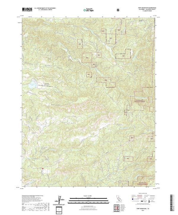
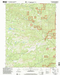 2001 Fort Mountain2004 Print · USGSCalaveras County's rugged mining and ranching country is captured here during the early twenty-first century as part of the Forest Service's ongoing land management. Genealogists and historians can locate remote landmarks like Swiss Ranch, the Fine Gold Mine, and a local cemetery near the Mokelumne River.
 - 2012 Map of Fort Mountain, 2012 Print
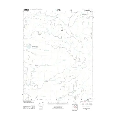 2012 Fort Mountain2012 Print · USGSCovers Fort Jones, including Hams, Sandoz, and other nearby areas
 - 2015 Map of Fort Mountain, 2015 Print
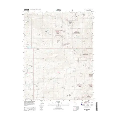 2015 Fort Mountain2015 Print · USGSCovers Fort Jones, including Hams, Sandoz, and other nearby areas
 - 2018 Map of Fort Mountain, 2018 Print
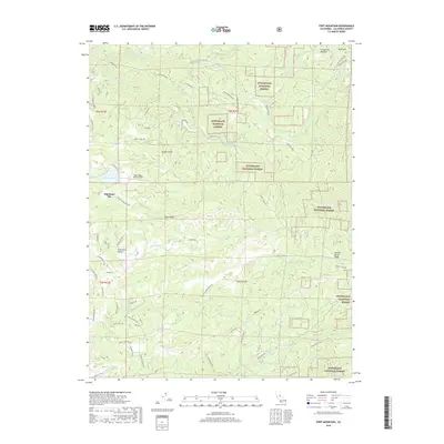 2018 Fort Mountain2018 Print · USGSCovers Fort Jones, including Hams, Sandoz, and other nearby areas
 - 2021 Map of Fort Mountain, 2021 Print
 2021 Fort Mountain2021 Print · USGSCalaveras County's high forest country is documented here in recent years, showing the intersection of historic trails and modern recreation. Trace the path of the Old Emigrant Trl or locate landmarks like San Antonio Falls and the Eagle Ridge Ranch Airport.
End of results
Showing maps 1-5 of 5
Frequently asked questions
- What are the different types of historical maps available for Fort Jones?
- What is the oldest map of Fort Jones?
- Where can I purchase historical maps of Fort Jones for my home or office?
- Where can I download high-res historical maps of Fort Jones?
- Are there historical topographic maps available for Fort Jones?
- Is there historical aerial imagery available for Fort Jones?
- Where are historical maps of Fort Jones sourced from?