2000s (21st Century) Maps of Wyldewood, California
Explore 5 historic maps of Wyldewood from the 2000s (21st Century). These maps offer a rare glimpse into what life looked like during the 2000s — showing old roads, neighborhoods, homes, and landmarks that have changed or disappeared over time.
Whether you're researching your family's past, planning a metal detecting trip, or studying how Wyldewood's landscape evolved across the 2000s, these high-resolution maps are a powerful tool for exploring the history of this region.
- Focus on a specific era: All maps on this page are from the 2000s, giving you a focused view of this time period.
- See what’s changed: Compare century-old streets, trails, and buildings to today's modern landscape using overlays and satellite layers.
- Research with precision: Use these maps for genealogy, historical research, land use analysis, or educational projects.
- View, download, or print: Maps are fully viewable online in high resolution, and can be downloaded or printed for your own records.
Start exploring Wyldewood's history through authentic maps from the 2000s. This is your window into the past.
Wyldewood, CA maps
(5)- 2001 Map of Murphys, 2004 Print
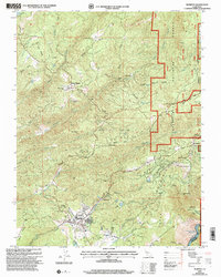 2001 Murphys2004 Print · USGSCalaveras County's mining heartland is captured here at the start of the new millennium. Researchers can trace the evolution of old claims and settlements from Sheep Ranch to Murphys, alongside landmarks like the Collierville Powerhouse.
 - 2012 Map of Murphys, 2012 Print
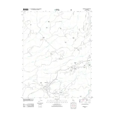 2012 Murphys2012 Print · USGSCovers Wyldewood, including Red Apple, Big Valley, and other nearby areas
 - 2015 Map of Murphys, 2015 Print
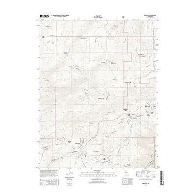 2015 Murphys2015 Print · USGSCovers Wyldewood, including Red Apple, Big Valley, and other nearby areas
 - 2018 Map of Murphys, 2018 Print
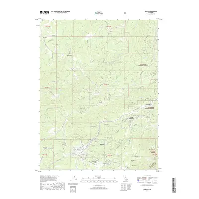 2018 Murphys2018 Print · USGSCovers Wyldewood, including Red Apple, Big Valley, and other nearby areas
 - 2021 Map of Murphys, 2021 Print
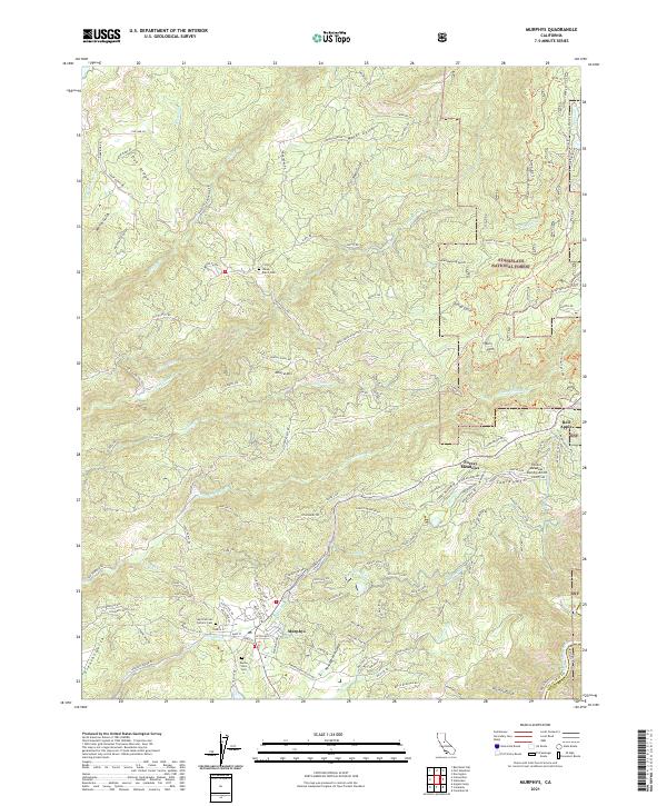 2021 Murphys2021 Print · USGSThe Murphys region in the early 2020s shows a landscape of modern mountain communities and legacy mining terrain. Trace family sites at the Saint Patricks Catholic Cem or explore the network of ditches and gulches near Sheep Ranch.
End of results
Showing maps 1-5 of 5
Top cities near Wyldewood
Frequently asked questions
- What are the different types of historical maps available for Wyldewood?
- What is the oldest map of Wyldewood?
- Where can I purchase historical maps of Wyldewood for my home or office?
- Where can I download high-res historical maps of Wyldewood?
- Are there historical topographic maps available for Wyldewood?
- Is there historical aerial imagery available for Wyldewood?
- Where are historical maps of Wyldewood sourced from?