2020s Maps of City and County of San Francisco, California
Explore 11 historic maps of City and County of San Francisco from the 2020s. These maps offer a rare glimpse into what life looked like during the 2020s — showing old roads, neighborhoods, homes, and landmarks that have changed or disappeared over time.
Whether you're researching your family's past, planning a metal detecting trip, or studying how City and County of San Francisco's landscape evolved across the 2020s, these high-resolution maps are a powerful tool for exploring the history of this region.
- Focus on a specific era: All maps on this page are from the 2020s, giving you a focused view of this time period.
- See what’s changed: Compare century-old streets, trails, and buildings to today's modern landscape using overlays and satellite layers.
- Research with precision: Use these maps for genealogy, historical research, land use analysis, or educational projects.
- View, download, or print: Maps are fully viewable online in high resolution, and can be downloaded or printed for your own records.
Start exploring City and County of San Francisco's history through authentic maps from the 2020s. This is your window into the past.
City and County of San Francisco, CA maps
(11)- 2021 Map of Farallon Islands OE N, 2021 Print
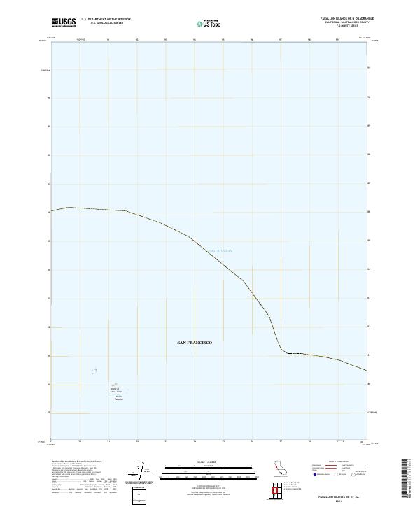 2021 Farallon Islands OE N2021 Print · USGSThe remote maritime boundaries of San Francisco are captured in this recent survey of the outer islands. Map collectors can trace the rocky outlines of the Island of Saint James and the North Farallon group rising from the Pacific Ocean.
 - 2021 Map of Hunters Point, 2021 Print
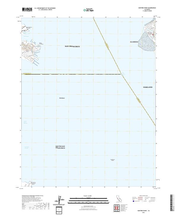 2021 Hunters Point2021 Print · USGSThe San Francisco Peninsula meets the bay in the early 2020s, revealing an industrial and maritime landscape. Trace modern shoreline developments and navigation channels from Hunters Point to the San Francisco International Airport and Bay Farm Island.
 - 2021 Map of San Francisco South OE W, 2021 Print
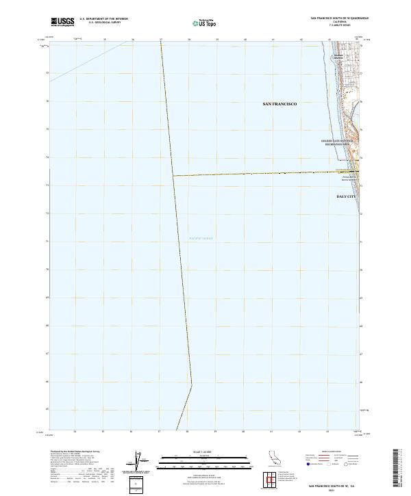 2021 San Francisco South OE W2021 Print · USGSThe Pacific coastline at the edge of the Sunset District is captured here in the early 2020s, where the city grid meets the sea. Researchers can trace coastal routes and landmarks like Phillip Burton Memorial Beach, the Great Hwy, and Skyline Blvd.
 - 2021 Map of Farallon Islands, 2021 Print
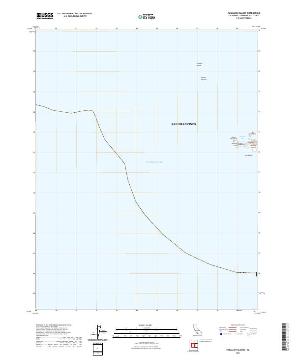 2021 Farallon Islands2021 Print · USGSThe isolated Farallon Islands are captured here in the early twenty-first century, showing the rocky outposts of the Pacific. Marine researchers and historians can trace the terrain of Southeast Farallon, from Tower Hill to The Jordan.
 - 2021 Map of Farallon Islands OE E, 2021 Print
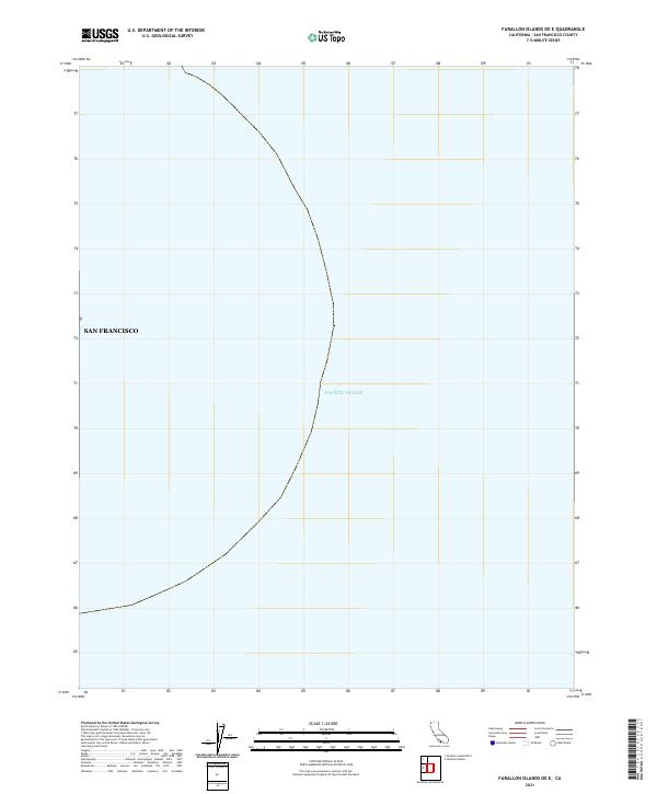 2021 Farallon Islands OE E2021 Print · USGSOpen waters west of the California coast define this maritime survey from the early 2020s. Researchers and mariners can trace the official San Francisco boundary as it extends across the Pacific Ocean.
 - 2021 Map of Richmond, 2021 Print
 2021 Richmond2021 Print · USGSThe East Bay shoreline and Berkeley Hills are revealed in this modern survey of Richmond's industrial and academic landscape. Trace the shipyard legacy at Rosie the Riveter National Historical Park or locate family sites near Saint Joseph Cem and Contra Costa College.
 - 2021 Map of San Quentin, 2021 Print
 2021 San Quentin2021 Print · USGSThe Marin and Contra Costa shorelines meet at the San Pablo Strait in this contemporary survey of the northern Bay Area. Researchers can trace the waterfront from San Quentin down to the Tiburon Peninsula, or examine East Bay landmarks like Point Richmond and Brooks Island.
 - 2021 Map of San Francisco South, 2021 Print
 2021 San Francisco South2021 Print · USGSThe San Francisco Peninsula and northern San Mateo County appear here as a complex urban corridor during the early twenty-first century. Researchers can trace the vast cemetery lands of Colma, including the Italian Cem, or locate landmarks like Lake Merced and the Bayview District.
 - 2021 Map of San Francisco North, 2021 Print
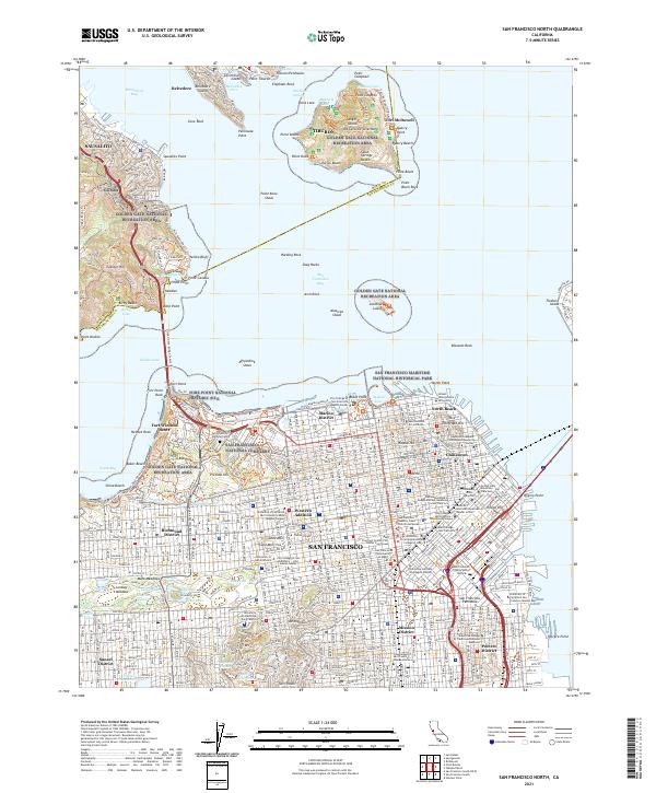 2021 San Francisco North2021 Print · USGSSan Francisco and the Golden Gate are captured here in the early twenty-first century, from the dense grid of Chinatown to the heights of SAUSALITO. Trace local roots through sites like St Marys Cathedral, the National Cemetery, and Alcatraz Island.
 - 2021 Map of Point Bonita, 2021 Print
 2021 Point Bonita2021 Print · USGSThe Marin Headlands and the entrance to the bay are captured here in the early 2020s, showcasing the intersection of urban development and vast coastal preserves. Researchers can trace the extensive trail systems of the GGNRA, find local landmarks like Point Bonita, and explore the topography of Sausalito.
 - 2021 Map of Oakland West, 2021 Print
 2021 Oakland West2021 Print · USGSThe East Bay waterfront comes alive in this contemporary survey of the industrial and academic heart of the region. Researchers can trace the massive port facilities of Oakland Outer Harbor and find historic neighborhoods like Pill Hill and Adams Point.
End of results
Showing maps 1-11 of 11
Top cities of City and County of San Francisco
Frequently asked questions
- What are the different types of historical maps available for City and County of San Francisco?
- What is the oldest map of City and County of San Francisco?
- Where can I purchase historical maps of City and County of San Francisco for my home or office?
- Where can I download high-res historical maps of City and County of San Francisco?
- Are there historical topographic maps available for City and County of San Francisco?
- Is there historical aerial imagery available for City and County of San Francisco?
- Where are historical maps of City and County of San Francisco sourced from?