2010s Maps of San Francisco, California
Explore 33 historic maps of San Francisco from the 2010s. These maps offer a rare glimpse into what life looked like during the 2010s — showing old roads, neighborhoods, homes, and landmarks that have changed or disappeared over time.
Whether you're researching your family's past, planning a metal detecting trip, or studying how San Francisco's landscape evolved across the 2010s, these high-resolution maps are a powerful tool for exploring the history of this region.
- Focus on a specific era: All maps on this page are from the 2010s, giving you a focused view of this time period.
- See what’s changed: Compare century-old streets, trails, and buildings to today's modern landscape using overlays and satellite layers.
- Research with precision: Use these maps for genealogy, historical research, land use analysis, or educational projects.
- View, download, or print: Maps are fully viewable online in high resolution, and can be downloaded or printed for your own records.
Start exploring San Francisco's history through authentic maps from the 2010s. This is your window into the past.
San Francisco, CA maps
(33)- 2012 Map of Farallon Islands, 2012 Print
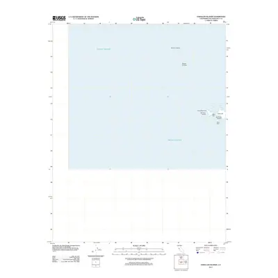 2012 Farallon Islands2012 Print · USGSThe isolated Farallon Islands are documented in the early twenty-first century, showing the rocky outcrops and maritime landmarks of this offshore archipelago. Researchers can locate coastal features like Southeast Farallon, Tower Hill, and the sheltered waters of Fisherman Bay.
 - 2012 Map of Farallon Islands OE N, 2012 Print
 2012 Farallon Islands OE N2012 Print · USGSThe northern reaches of the Farallon Islands appear in the early twenty-first century, surrounded by the open Pacific Ocean. Maritime researchers and local historians can pinpoint the exact locations of North Farallon and the Island of Saint James.
 - 2012 Map of Hunters Point, 2012 Print
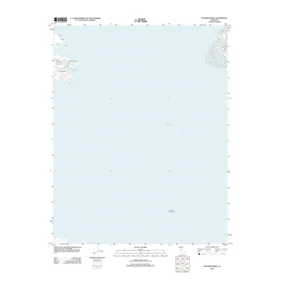 2012 Hunters Point2012 Print · USGSThe San Francisco waterfront at Hunters Point is captured in the early 2010s, showing the industrial shoreline and maritime basins. Researchers can trace modern infrastructure at India Basin, the deep-water San Bruno Channel, and streets like Innes Ave.
 - 2012 Map of Farallon Islands OE E, 2012 Print
 2012 Farallon Islands OE E2012 Print · USGSThe waters off the California coast come into focus in this 2012 maritime study, showing the isolated Southeast Farallon landmass. Researchers can trace the position of this rocky feature within the Pacific Ocean far from the mainland.
 - 2012 Map of Richmond, 2012 Print
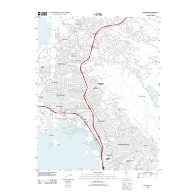 2012 Richmond2012 Print · USGSThe East Bay shoreline and its industrial heart are shown here in the early 2010s, from the docks of RICHMOND to the residential streets of ALBANY. Trace the complex layout of the Richmond Reserve Shipyard, Golden Gate Fields, and local neighborhoods like Stege.
 - 2012 Map of San Francisco South OE W, 2012 Print
 2012 San Francisco South OE W2012 Print · USGSThe Pacific coast of San Francisco at the start of the 2010s shows the meeting of the city grid and the sea. Researchers can trace the layout of the western shore along Great Hwy and the coastal edges of Lake Merced and Phillip Burton Memorial Beach.
 - 2012 Map of Oakland West, 2012 Print
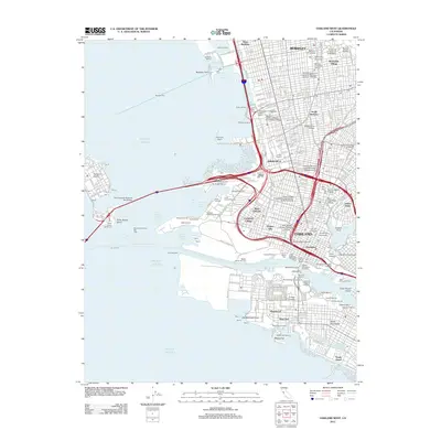 2012 Oakland West2012 Print · USGSThe East Bay waterfront thrives in the early twenty-first century, showing the complex industrial and academic landscape of Oakland and Berkeley. Genealogists and historians can trace neighborhood boundaries in Chinatown or locate maritime sites like the Oakland Mole and Jack London Square.
 - 2012 Map of San Francisco South, 2012 Print
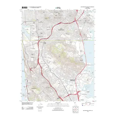 2012 San Francisco South2012 Print · USGSThe southern reaches of the San Francisco peninsula and the cemetery city of Colma are shown here in the early twenty-first century. Researchers can trace the sprawling grounds of Golden Gate National Cem, the industrial Islais Creek Channel, and the landmarks of Candlestick Point.
 - 2012 Map of Point Bonita, 2012 Print
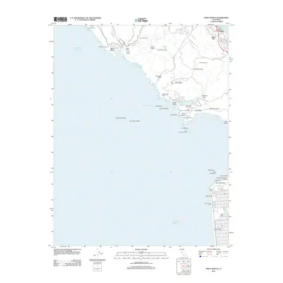 2012 Point Bonita2012 Print · USGSThe Marin coast and San Francisco’s western edge are detailed here in the early twenty-first century, showcasing a unique blend of military heritage and parkland. Trace the coastal batteries and landmarks like Point Bonita Lighthouse, Marin Headlands, and Playland at the Beach.
 - 2012 Map of San Quentin, 2012 Print
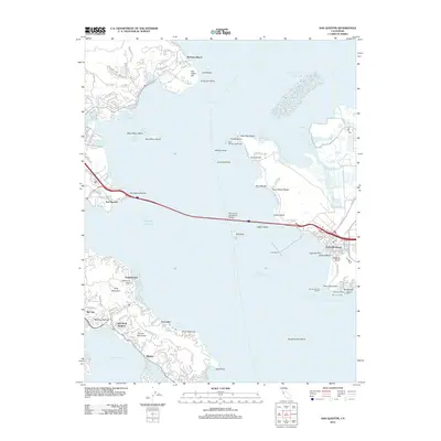 2012 San Quentin2012 Print · USGSThe North Bay’s industrial and residential waterfronts meet in the early twenty-first century, centered on the vital connection of the Richmond - San Rafael Bridge. Researchers can trace the maritime evolution of Point Richmond or locate landmarks like East Brother Lighthouse and San Quentin.
 - 2012 Map of San Francisco North, 2012 Print
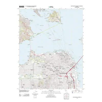 2012 San Francisco North2012 Print · USGSThe northern San Francisco peninsula and Marin coastline are shown here in the early twenty-first century, documenting a landscape of dense neighborhoods and historic maritime hubs. Researchers can locate specific sites from Fishermans Wharf to Haight-Ashbury, or trace the grounds of Fort Winfield Scott and Alcatraz Gardens.
 - 2015 Map of Point Bonita, 2015 Print
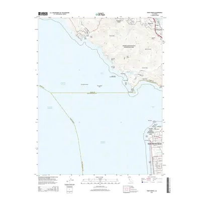 2015 Point Bonita2015 Print · USGSThe northern and southern headlands of the Golden Gate are captured here in the mid-2010s, showcasing the intersection of wild coast and urban San Francisco. Trace the military history at Fort Barry or locate coastal landmarks like Point Bonita and Seal Rocks.
 - 2015 Map of Farallon Islands OE E, 2015 Print
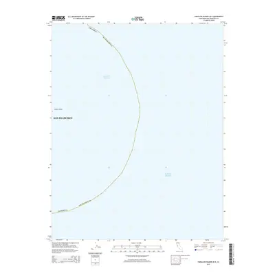 2015 Farallon Islands OE E2015 Print · USGSCoastal waters and maritime boundaries define this maritime region in the mid-2010s. Researchers can trace the offshore limits of San Francisco Co and identify the precise location of Farallon Island within the Pacific Ocean.
 - 2015 Map of San Francisco South, 2015 Print
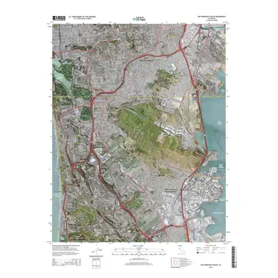 2015 San Francisco South2015 Print · USGSThe southern San Francisco Peninsula in the mid-2010s reveals a unique landscape where dense urban neighborhoods meet the famous necropolis of Colma. Researchers can trace the massive cemetery complexes like Holy Cross Cemetery and civic landmarks like San Francisco State Univ.
 - 2015 Map of San Quentin, 2015 Print
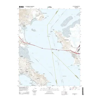 2015 San Quentin2015 Print · USGSThe northern San Francisco Bay comes alive in the mid-2010s, showing the vital ferry routes and bridge connections between Marin and Contra Costa counties. Trace the shorelines of Belvedere Island, the residential streets of Tiburon, and the industrial waterfront at Point Richmond.
 - 2015 Map of Richmond, 2015 Print
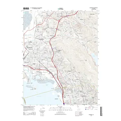 2015 Richmond2015 Print · USGSThe East Bay waterfront and hills are shown here during the mid-2010s, mapping the dense residential and industrial landscape from North Richmond to Berkeley. Genealogists can trace family locations near Saint Joseph Cemetery or explore established neighborhoods like Stege and Atchison Village.
 - 2015 Map of San Francisco North, 2015 Print
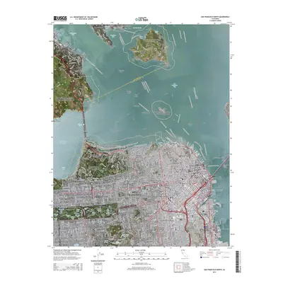 2015 San Francisco North2015 Print · USGSSan Francisco and the Marin Headlands are shown in great detail during the mid-twenty-tens, capturing the city’s dense urban fabric and coastal defenses. Researchers can trace the layout of historic neighborhoods like Haight-Ashbury and Chinatown, or locate landmarks such as Alcatraz Island and Fort Winfield Scott.
 - 2015 Map of San Francisco South OE W, 2015 Print
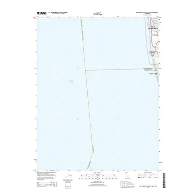 2015 San Francisco South OE W2015 Print · USGSThe western shoreline of the San Francisco Peninsula is captured here in the mid-2010s, where the city grid meets the sea. Researchers can trace the coastal boundary from Lake Merced up to Pacheco St and explore the protected lands of the Golden Gate National Recreation Area.
 - 2015 Map of Hunters Point, 2015 Print
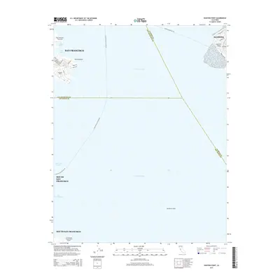 2015 Hunters Point2015 Print · USGSThe industrial waterfront of the San Francisco Peninsula and the northern reaches of the international airport are captured here in the mid-2010s. Maritime researchers can trace the docks at Hunters Point and the ferry routes connecting to Bay Farm Island.
 - 2015 Map of Oakland West, 2015 Print
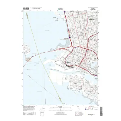 2015 Oakland West2015 Print · USGSThe East Bay waterfront and the San Francisco-Oakland Bay Bridge are captured in this mid-2010s survey. Genealogists and local historians can trace neighborhood boundaries in Chinatown or South Berkeley, and locate landmarks like Laney Coll and Lake Merritt.
 - 2015 Map of Farallon Islands, 2015 Print
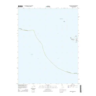 2015 Farallon Islands2015 Print · USGSThe isolated outposts of San Francisco County are documented here during the mid-2010s, showing the remote maritime terrain of the Farallon Islands. Trace the rocky geography of Southeast Farallon from the heights of Tower Hill down to the shores of Fisherman Bay.
 - 2015 Map of Farallon Islands OE N, 2015 Print
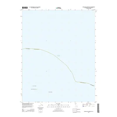 2015 Farallon Islands OE N2015 Print · USGSSan Francisco's maritime frontier comes into focus in this modern survey of the outlying archipelago. Maritime historians and researchers can locate the remote peaks of North Farallon and the Island of Saint James as they stand against the Pacific Ocean.
 - 2018 Map of Farallon Islands, 2018 Print
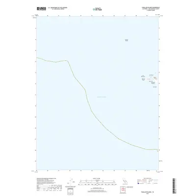 2018 Farallon Islands2018 Print · USGSThe Farallon Islands appear as a remote archipelago off the California coast in this late twenty-teens survey. Researchers can trace the rocky topography of Southeast Farallon, locating landmarks like Tower Hill, Great West Arch, and the waters of The Jordan.
 - 2018 Map of Farallon Islands OE N, 2018 Print
 2018 Farallon Islands OE N2018 Print · USGSThe open maritime reaches of San Francisco County appear in this modern survey of the Pacific Ocean waters. Maritime researchers and coastal historians can trace the deep-water boundaries and seafloor contours that define this protected offshore region.
 - 2018 Map of Hunters Point, 2018 Print
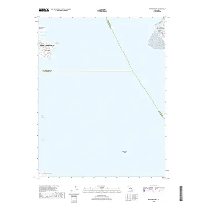 2018 Hunters Point2018 Print · USGSThe industrial waterfront of the San Francisco Peninsula and the residential streets of Alameda are shown here during the late 2010s. Researchers can trace maritime infrastructure at Hunters Point or explore the developed shoreline of Bay Farm Island and India Basin.
Showing maps 1-25 of 33
Top cities near San Francisco
- San Rafael historical maps
- Pacifica historical maps
- Mill Valley historical maps
- San Anselmo historical maps
- Larkspur historical maps
- Corte Madera historical maps
See more
Top neighborhoods of San Francisco
- Bayview District historical maps
- Mission District historical maps
- Western Addition historical maps
- South of Market historical maps
- Sunset District historical maps
- Richmond District historical maps
See more
Frequently asked questions
- What are the different types of historical maps available for San Francisco?
- What is the oldest map of San Francisco?
- Where can I purchase historical maps of San Francisco for my home or office?
- Where can I download high-res historical maps of San Francisco?
- Are there historical topographic maps available for San Francisco?
- Is there historical aerial imagery available for San Francisco?
- Where are historical maps of San Francisco sourced from?