2000s (21st Century) Maps of Bar J Ranch, California
Explore 4 historic maps of Bar J Ranch from the 2000s (21st Century). These maps offer a rare glimpse into what life looked like during the 2000s — showing old roads, neighborhoods, homes, and landmarks that have changed or disappeared over time.
Whether you're researching your family's past, planning a metal detecting trip, or studying how Bar J Ranch's landscape evolved across the 2000s, these high-resolution maps are a powerful tool for exploring the history of this region.
- Focus on a specific era: All maps on this page are from the 2000s, giving you a focused view of this time period.
- See what’s changed: Compare century-old streets, trails, and buildings to today's modern landscape using overlays and satellite layers.
- Research with precision: Use these maps for genealogy, historical research, land use analysis, or educational projects.
- View, download, or print: Maps are fully viewable online in high resolution, and can be downloaded or printed for your own records.
Start exploring Bar J Ranch's history through authentic maps from the 2000s. This is your window into the past.
Bar J Ranch, CA maps
(4)- 2012 Map of Clarksville, 2012 Print
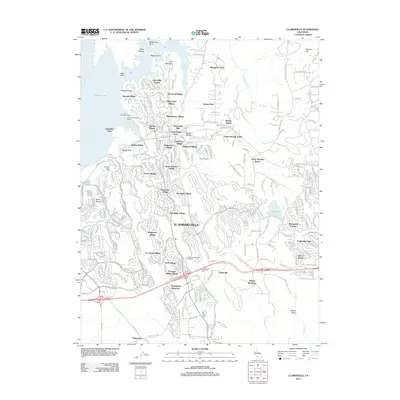 2012 Clarksville2012 Print · USGSCovers Bar J Ranch, including Folsom, El Dorado Hills, and other nearby areas
 - 2015 Map of Clarksville, 2015 Print
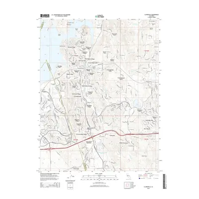 2015 Clarksville2015 Print · USGSCovers Bar J Ranch, including Folsom, El Dorado Hills, and other nearby areas
 - 2018 Map of Clarksville, 2018 Print
 2018 Clarksville2018 Print · USGSCovers Bar J Ranch, including Folsom, El Dorado Hills, and other nearby areas
 - 2021 Map of Clarksville, 2021 Print
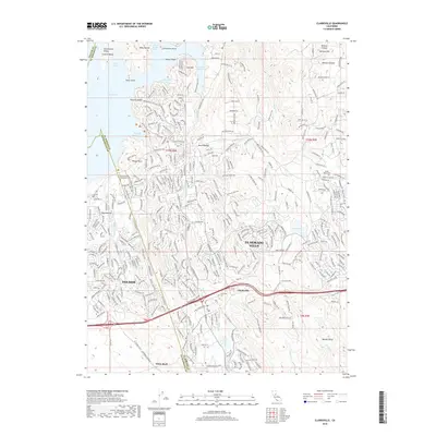
 2021 Clarksville2021 Print · USGSEl Dorado County settlement and the expansion of the Folsom area are captured here in the early twenty-first century. Researchers can locate the Mormon Island Relocation Cemetery, trace the Natomas Ditch, and explore the topography around Bass Lake and Clarksville.
End of results
Showing maps 1-4 of 4
Top cities near Bar J Ranch
- Roseville historical maps
- Folsom historical maps
- Rancho Cordova historical maps
- Rocklin historical maps
- El Dorado Hills historical maps
- Lincoln historical maps
See more
Frequently asked questions
- What are the different types of historical maps available for Bar J Ranch?
- What is the oldest map of Bar J Ranch?
- Where can I purchase historical maps of Bar J Ranch for my home or office?
- Where can I download high-res historical maps of Bar J Ranch?
- Are there historical topographic maps available for Bar J Ranch?
- Is there historical aerial imagery available for Bar J Ranch?
- Where are historical maps of Bar J Ranch sourced from?