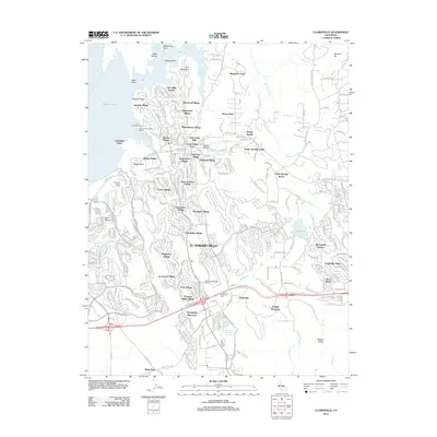
2012 Map of Clarksville
USGS Topo · Published 2012About this map
El Dorado Hills serves as the central hub of this 2012 topographic study, showcasing a landscape defined by rapid residential expansion into the Sierra Nevada foothills. The map reveals an intricate network of modern residential developments, including Crown Village, Saint Andrews Village, and Ridgeview Village, which are interwoven with older geographic landmarks and water features. Along the western edge, the shoreline of Folsom Lake is highly detailed, featuring Browns Ravine Cove and the El Dorado Marina.
Find a feature on this map
73 named features on this map. Tap any name to fly to it.
Don’t see what you’re looking for? This feature index may not catch every label — zoom into the map to look around manually.
Map Details
Editions of this 2012 Clarksville Map
This is the sole edition of this map. No revisions or reprints were ever made.
Other maps of this area

1891 · Sacramento
USGS Topo · 1:125,000

1891 · Placerville
USGS Topo · 1:125,000

1892 · Sacramento
USGS Topo · 1:125,000

1892 · Placerville
USGS Topo · 1:125,000

1893 · Placerville
USGS Topo · 1:125,000

1893 · Sacramento
USGS Topo · 1:125,000

1908 · Buffalo Creek
USGS Topo · 1:31,680

1914 · Folsom
USGS Topo · 1:31,680
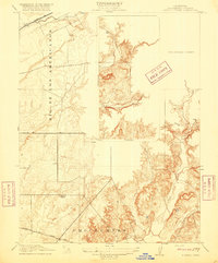
1916 · Buffalo Creek
USGS Topo · 1:31,680

1941 · Folsom
USGS Topo · 1:62,500