Old Maps of Apex, Placerville for Hiking & Exploration
Hike through history with 16 historic maps of Apex. Explore old trails, ghost towns, and forgotten backroads — perfect for outdoor adventurers and local explorers.
- Rediscover forgotten places: Map out old mining camps, roads, and footpaths that no longer exist on modern maps.
- Layer with modern tools: Combine with LiDAR or satellite views to plan hikes through historical terrain.
- Made for exploration: Popular among hikers, overlanders, and local history lovers.
Use these maps to find adventure and explore the hidden past of Apex.
Apex, Placerville maps
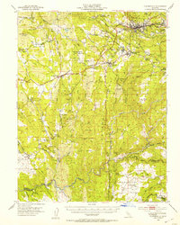
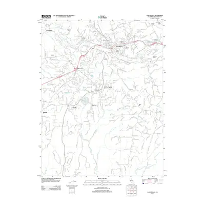
(16)- 1891 Map of Placerville
 1891 Placerville1891 Print · USGSEl Dorado County was a thriving network of mining camps and timber mills in the 1890s. Genealogists can trace family roots through old landmarks like Diamond Springs, Coloma, and the Placerville and Sacramento Railroad.
 - 1892 Map of Placerville
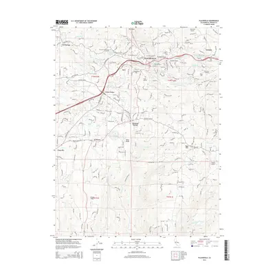
 1892 Placerville1892 Print · USGSEl Dorado County is documented during the late nineteenth-century mining era, showing the rugged network of river canyons and early mountain roads. Researchers can trace the Sacramento and Placerville Railroad or locate historic sites like the Mile Hill Toll House and Spanish Diggings.
 - 1893 Map of Placerville
 1893 Placerville1893 Print · USGSEl Dorado and Placer counties during the late nineteenth-century mining era reveal a landscape of deep canyons and booming industrial camps. Genealogists and historians can trace the Sacramento and Placerville Railroad to its terminus or locate early operations like Mammoth Mine and Spanish Diggings.9 unique versions available
 - 1947 Map of Sacramento, 1948 Print
 1947 Sacramento1948 Print · USGSThe Sacramento Valley meets the high Sierra during a period of post-war expansion. Trace the historic river delta islands like Grand Island or locate early airfield footprints at McClellan Air Force Base and Mather Air Force Base.2 unique versions available
 - 1948 Map of Sacramento, 1951 Print
 1948 Sacramento1951 Print · USGSPost-war Northern California comes alive in this regional survey, capturing the era of expansion between the Central Valley and the High Sierra. Researchers can trace the rail networks of the Central California Traction and Sacramento Northern RR or locate landmarks like the State Capitol and University of California Davis.
 - 1949 Map of Placerville, 1953 Print
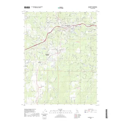
 1949 Placerville1953 Print · USGSEl Dorado County remains deeply rooted in its gold-rush legacy during the late 1940s, from the streets of Placerville to the Shenandoah Valley. Genealogists and historians can trace family properties near Fiddletown, Latrobe, or the historic Logtown settlement.5 unique versions available
 - 1949 Map of Placerville, 1955 Print
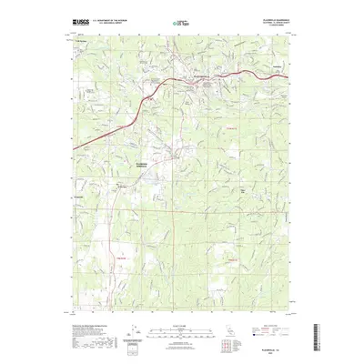
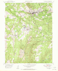 1949 Placerville1955 Print · USGSGold Country life in the late 1940s centered on the rail-and-road network between Placerville and El Dorado. Genealogists can trace family footprints at Logtown, Coon Hollow Sch, and the Union Mine.5 unique versions available
 - 1950 Map of Placerville
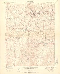 1950 Placerville1950 Print · USGSEl Dorado County in the late 1940s retains the clear footprint of its mining and railroad heritage. Researchers can trace the location of vanished settlements at Logtown (Site) and Cold Springs (Site), alongside active landmarks like the Crusader Mine and the Southern Pacific line.2 unique versions available
 - 1956 Map of Sacramento
 1956 Sacramento1956 Print · USGSMid-century California unfolds from the delta to the high Sierra, capturing a landscape of growing valley cities and burgeoning military airbases. Genealogists and historians can trace the rail lines and river towns from Woodland to Lodi, or explore the foothill settlements of Placerville and Jackson.2 unique versions available
 - 1957 Map of Sacramento, 1966 Print
 1957 Sacramento1966 Print · USGSIn the mid-twentieth century, the California heartland was a hub of river transport, rail lines, and military airbases. Genealogists and historians can trace the development of Gold Country towns like Angels Camp and Sonora or follow the path of the Southern Pacific RR through the growing suburbs of Sacramento.4 unique versions available
 - 1976 Map of Placerville, 1994 Print
 1976 Placerville1994 Print · USGSEl Dorado County and the high Sierra Nevada are captured in the mid-seventies, showing the evolution of the Mother Lode from its mining roots to a modern recreational and timber hub. Genealogists can locate family names and old landmarks like Old Fort Jim, the Shingle Springs Indian Reservation, and the historic town of Fiddletown.2 unique versions available
 - 2012 Map of Placerville, 2012 Print
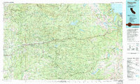
 2012 Placerville2012 Print · USGSCovers Apex, including Placerville, Diamond Springs, and other nearby areas
 - 2015 Map of Placerville, 2015 Print
 2015 Placerville2015 Print · USGSCovers Apex, including Placerville, Diamond Springs, and other nearby areas
 - 2018 Map of Placerville, 2018 Print
 2018 Placerville2018 Print · USGSCovers Apex, including Placerville, Diamond Springs, and other nearby areas
 - 2022 Map of Placerville, 2022 Print
 2022 Placerville2022 Print · USGSCovers Apex, including Placerville, Diamond Springs, and other nearby areas
 - 2023 Map of Placerville, 2023 Print
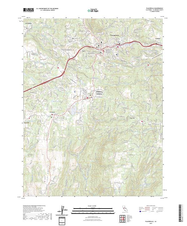 2023 Placerville2023 Print · USGSEl Dorado County’s Gold Country communities are detailed in this recent survey, from the historic streets of Placerville to the outlying ridges. Researchers can trace numerous local burial grounds including Jewish Pioneer Cem and the Odd Fellows Cem in Diamond Springs.
End of results
Showing maps 1-16 of 16
Top cities near Apex
- El Dorado Hills historical maps
- Cameron Park historical maps
- Placerville historical maps
- Diamond Springs historical maps
- El Dorado historical maps
Frequently asked questions
- What are the different types of historical maps available for Apex?
- What is the oldest map of Apex?
- Where can I purchase historical maps of Apex for my home or office?
- Where can I download high-res historical maps of Apex?
- Are there historical topographic maps available for Apex?
- Is there historical aerial imagery available for Apex?
- Where are historical maps of Apex sourced from?