2020s Maps of Fowler, California
Explore 2 historic maps of Fowler from the 2020s. These maps offer a rare glimpse into what life looked like during the 2020s — showing old roads, neighborhoods, homes, and landmarks that have changed or disappeared over time.
Whether you're researching your family's past, planning a metal detecting trip, or studying how Fowler's landscape evolved across the 2020s, these high-resolution maps are a powerful tool for exploring the history of this region.
- Focus on a specific era: All maps on this page are from the 2020s, giving you a focused view of this time period.
- See what’s changed: Compare century-old streets, trails, and buildings to today's modern landscape using overlays and satellite layers.
- Research with precision: Use these maps for genealogy, historical research, land use analysis, or educational projects.
- View, download, or print: Maps are fully viewable online in high resolution, and can be downloaded or printed for your own records.
Start exploring Fowler's history through authentic maps from the 2020s. This is your window into the past.
Fowler, CA maps
(2)- 2021 Map of Conejo, 2021 Print
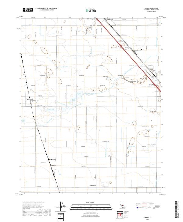 2021 Conejo2021 Print · USGSThe agricultural landscape of the San Joaquin Valley is on full display here, dominated by the diagonal transit corridor through Fowler and Selma. Researchers can trace the water history of the area through features like Fowler Switch Canal and the community of Wildflower.
 - 2021 Map of Malaga, 2021 Print
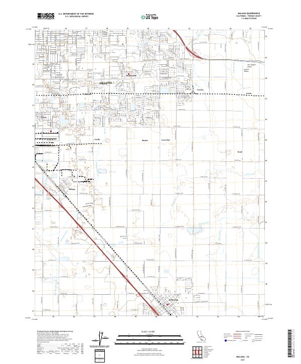 2021 Malaga2021 Print · USGSThe southern outskirts of Fresno and the neighboring city of Fowler are shown here in the early 2020s amidst a vast irrigation network. Genealogists and local historians can trace family-named lands near Sunnyside, Lone Star, and the Fresno Colony Canal.
End of results
Showing maps 1-2 of 2
Top cities near Fowler
- Fresno historical maps
- Clovis historical maps
- Reedley historical maps
- Sanger historical maps
- Selma historical maps
- Parlier historical maps
See more
Frequently asked questions
- What are the different types of historical maps available for Fowler?
- What is the oldest map of Fowler?
- Where can I purchase historical maps of Fowler for my home or office?
- Where can I download high-res historical maps of Fowler?
- Are there historical topographic maps available for Fowler?
- Is there historical aerial imagery available for Fowler?
- Where are historical maps of Fowler sourced from?