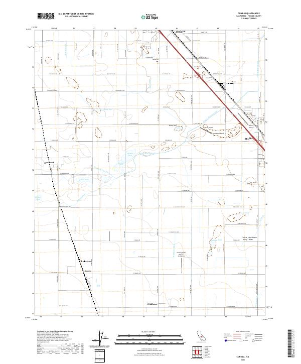
2021 Map of Conejo
USGS Topo · Published 2021About this map
Fowler and Selma anchor this portion of the San Joaquin Valley, where a complex irrigation network of canals and ditches has long supported the region's agricultural productivity. The BNSF Railway and Golden State Blvd cut a sharp diagonal through the landscape, linking these central settlements. Smaller communities like Conejo, Monmouth, and Wildflower punctuate the grid of country roads, while family-named water features such as Helmke Pond, Martin Pond, and the Harlan Stevens Ditch reflect the localized nature of land and water management. Aviation is prominent in the area, marked by several local facilities including Selma Airport, Quinn Airport, and the Central Valley Aviation Inc Airport. Local history is further preserved at sites like the Fowler Cem, situated near the northern edge of the survey area.
Find a feature on this map
80 named features on this map. Tap any name to fly to it.
Don’t see what you’re looking for? This feature index may not catch every label — zoom into the map to look around manually.
Map Details
Editions of this 2021 Conejo Map
This is the sole edition of this map. No revisions or reprints were ever made.
Other maps of this area

1923 · Malaga
USGS Topo · 1:31,680

1923 · Fresno
USGS Topo · 1:31,680

1923 · Sanger
USGS Topo · 1:31,680

1924 · Riverdale
USGS Topo · 1:31,680

1924 · Selma
USGS Topo · 1:31,680

1924 · Conejo
USGS Topo · 1:31,680

1925 · Caruthers
USGS Topo · 1:31,680

1926 · Burris Park
USGS Topo · 1:31,680

1927 · Laton
USGS Topo · 1:31,680

1927 · Riverdale
USGS Topo · 1:31,680