Old Maps of Fresno, California for Metal Detecting
Plan your next treasure hunt with 77 historic maps of Fresno. Find old homesites, ghost towns, trails, and gathering spots that may be lost to time — perfect for identifying promising metal detecting locations.
- Locate forgotten sites: Uncover places like long-lost settlements, abandoned rail lines, or gathering spots.
- Plan better hunts: Use map overlays combined with LiDAR or satellite views to narrow in on historically rich areas.
- Made for detectorists: Thousands of hobbyists use these maps to discover relics, coins, and hidden history.
Use these historic maps to boost your research and find new opportunities beneath the surface of Fresno.
Fresno, CA maps
(77)- 1921 Map of Bullard
 1921 Bullard1921 Print · USGSNorth Fresno and the San Joaquin River corridor were undergoing rapid development in the early twenties as the city expanded toward the Madera County line. Genealogists and local historians can trace early neighborhood schools like Lincoln School and rail junctions such as Biola Junction or the Fresno Interurban.
 - 1922 Map of Lanes Bridge
 1922 Lanes Bridge1922 Print · USGSThe San Joaquin River valley at the Madera-Fresno county line comes to life in this early 1920s survey. Historians can trace the rural landscape through landmarks like Deep Well School, the crossing at Lanes Bridge, and the Little Table Mountain foothills.
 - 1922 Map of Friant
 1922 Friant1922 Print · USGSFresno County at the edge of the Sierra foothills is captured here during the heyday of the railroad and early copper mining. Researchers can trace the legacy of rural education at Pollasky School or locate the Fresno Copper Mine and Gordon Siding.2 unique versions available
 - 1923 Map of Kearney Park
 1923 Kearney Park1923 Print · USGSAgricultural development in the San Joaquin Valley is caught at a pivotal moment in the 1920s. Genealogists can trace the rural school districts of Dunkard School and Perrin School or find the early rail stops at Rolinda and McMullin.
 - 1923 Map of Malaga
 1923 Malaga1923 Print · USGSFresno and its southern agricultural suburbs are captured here in the early 1920s, a landscape defined by irrigation canals and rail-side packing towns. Trace the locations of early rural landmarks like Mattei Packing Co Plant, Magnolia School, and the County Fair Grounds Auto Speedway.
 - 1923 Map of Herndon
 1923 Herndon1923 Print · USGSCentral California's agricultural landscape comes into focus in the early twenties as the grid of Fresno County takes shape. Trace the early rail stops at Herndon, Barstow, and Dickerson along the San Joaquin River and major lines.2 unique versions available
 - 1923 Map of Fresno
 1923 Fresno1923 Print · USGSFresno was rapidly expanding into its surrounding agricultural colonies during the early twenties as a major Central Valley rail hub. Researchers can trace the development of local school districts and rural settlements like Calwa, Covell, and the American Colony School.2 unique versions available
 - 1923 Map of Clovis
 1923 Clovis1923 Print · USGSIn the early 1920s, the Fresno County countryside was a grid of irrigation canals and family farmsteads. Researchers can trace the early rail stops at Tarpey and Melvin or locate rural landmarks like Scandinavian School and Nees Colony School.
 - 1923 Map of Bullard
 1923 Bullard1923 Print · USGSNorthern Fresno and the San Joaquin River corridor are captured here during the 1920s as the city expanded into the surrounding orchard lands. Researchers can trace early rail lines like the Fresno Interurban or locate family landmarks such as Bullard School and McKinley School.
 - 1946 Map of Malaga
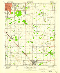 1946 Malaga1946 Print · USGSFresno and the surrounding vineyards and settlements are captured here in the mid-1940s. Genealogists and researchers can trace the agricultural landscape of Malaga, Fowler, and Lone Star while locating local landmarks like Adams Airport and the De Wolf Sch.
 - 1946 Map of Fresno South, 1947 Print
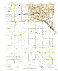 1946 Fresno South1947 Print · USGSThe Central Valley hub of Fresno is captured just after the war, showing the city's transition from a rail-dependent center to a modern agricultural and aviation base. Genealogists can trace family roots through neighborhood schools like Edison Technical Sch and sites such as Ararat Cemetery.
 - 1946 Map of Friant, 1947 Print
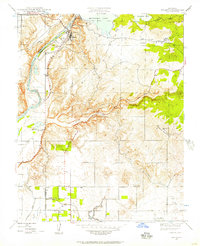 1946 Friant1947 Print · USGSThe San Joaquin River frontier was being reshaped by industrial engineering in the late 1940s. Genealogists and historians can trace the foundations of the regional water system at Friant Dam and find local landmarks like Gordon, Millerton Sch, and the Southern Pacific rail line.
 - 1946 Map of Selma, 1954 Print
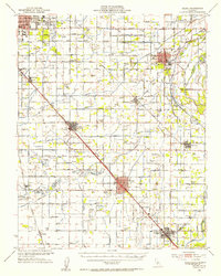 1946 Selma1954 Print · USGSFresno County's agricultural heartland is captured here in the mid-1940s, showing the extensive irrigation network supporting the valley's towns. Genealogists can locate family landmarks like Kings River Cemetery, Fruitvale School, and the Swedish Mission.2 unique versions available
 - 1946 Map of Clovis, 1955 Print
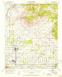 1946 Clovis1955 Print · USGSPost-war Fresno County comes to life as the newly completed Friant Dam transforms the valley landscape. Trace the origins of irrigation at Friant-Kern Canal or locate family landmarks like Hammer Field and Nees Colony Sch.
 - 1946 Map of Fresno North, 1955 Print
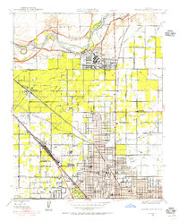 1946 Fresno North1955 Print · USGSNorthern Fresno and the San Joaquin River corridor appear here in the mid-1940s as the city expands toward the Madera County line. Researchers can trace the development of Camp Pinedale, the Army Air Forces Depot, and early neighborhoods near Figarden.
 - 1946 Map of Clovis, 1956 Print
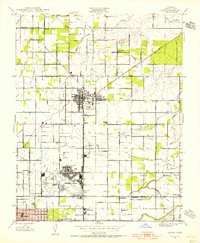 1946 Clovis1956 Print · USGSThe Fresno area was undergoing a significant post-war shift in the late 1940s as military sites and irrigation networks defined the landscape. Genealogists and local historians can trace family-named schools and colonies like Kutner Colony, Tarpey, and Scandinavian Sch.
 - 1946 Map of Kearney Park, 1956 Print
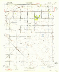 1946 Kearney Park1956 Print · USGSFresno County's agricultural heartland is captured here in the mid-1940s, showing the intersection of irrigation and rail commerce. Researchers can trace the layout of rural school districts like Perrin Sch and the development of rail sidings at Rolinda Sta and Pratton.
 - 1946 Map of Lanes Bridge, 1957 Print
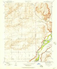 1946 Lanes Bridge1957 Print · USGSMadera and Fresno Counties come together along the river during the mid-forties, showing a landscape of rural schools and winding waterways. Genealogists and local historians can trace the foundations of Lanes Bridge and locate landmarks like Webster Sch or Fort Washington Sch.
 - 1946 Map of Herndon, 1957 Print
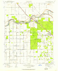 1946 Herndon1957 Print · USGSThe San Joaquin Valley landscape in the mid-1940s shows a thriving agricultural region defined by massive irrigation projects and rail transit. Genealogists and historians can trace local school districts like Teague Sch or follow the early footprints of Barstow and Highway City.
 - 1947 Map of Herndon
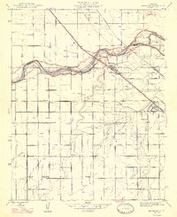 1947 Herndon1947 Print · USGSNorth of Fresno after the war, this area was a busy corridor of rail transit and irrigation-fed ranching along the San Joaquin River. Genealogists can trace a network of rural school districts including Pershing and Central Union High Sch, alongside early settlements like Barstow and Highway City.2 unique versions available
 - 1947 Map of Clovis
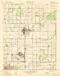 1947 Clovis1947 Print · USGSAgriculture and aviation define this portion of the San Joaquin Valley just after the war years. Genealogists can trace the rural communities of Clovis and Pinedale, or locate family-named institutions like Garfield Sch and Temperance Sch near the sprawling Hammer Field.2 unique versions available
 - 1947 Map of Lanes Bridge
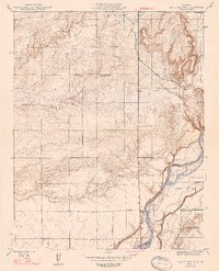 1947 Lanes Bridge1947 Print · USGSThe San Joaquin River frontier between Madera and Fresno Counties is captured here just after the war. Local historians can trace the foundations of rural life through family-named landmarks like Webster Sch, the original Lanes Bridge crossing, and numerous windmills.2 unique versions available
 - 1947 Map of Fresno North
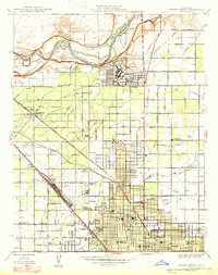 1947 Fresno North1947 Print · USGSNorth Fresno and the river bluffs are captured here just after the war as the city's northern suburbs began to take shape. Researchers can trace the development of Camp Pinedale, find early school sites like Wolters Sch, and locate vanished rail stops at Muscatel and Biola Junc.
 - 1947 Map of Fresno South
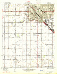 1947 Fresno South1947 Print · USGSPost-war Fresno and its agricultural outskirts come to life just as the Central Valley's irrigation network reached its peak. Genealogists and local historians can trace family roots through numerous country schools like Orange Center Sch and mapped cemeteries including Ararat Cemetery.
 - 1947 Map of Malaga
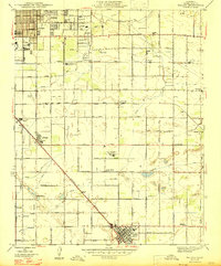 1947 Malaga1947 Print · USGSThe agricultural heart of the San Joaquin Valley is revealed in this post-war survey, showing the intricate irrigation canals and rail lines serving Fresno and Fowler. Trace the early development of Malaga, find local landmarks like Easterby Sch, or locate the historic Alta Vineyards Mattei Plant.
Showing maps 1-25 of 77
Top cities near Fresno
- Clovis historical maps
- Madera historical maps
- Sanger historical maps
- Selma historical maps
- Parlier historical maps
- Fowler historical maps
See more
Top neighborhoods of Fresno
- Sunnyside historical maps
- Fresno Air Attack Base historical maps
- Fresno County Sheriffs Office historical maps
- Highway City historical maps
- Herndon historical maps
- Figarden historical maps
Frequently asked questions
- What are the different types of historical maps available for Fresno?
- What is the oldest map of Fresno?
- Where can I purchase historical maps of Fresno for my home or office?
- Where can I download high-res historical maps of Fresno?
- Are there historical topographic maps available for Fresno?
- Is there historical aerial imagery available for Fresno?
- Where are historical maps of Fresno sourced from?