Old Maps of Locans, California
Explore 17 old maps of Locans, spanning from 1923 to today. These high-resolution historic maps reveal how streets, neighborhoods, landmarks, and natural features evolved over time — perfect for genealogy, metal detecting, research, and local history exploration.
What you can do with these maps:
- See how Locans changed over time: Compare historical maps to modern-day views to trace roads, homesites, rail lines & more.
- View detailed metadata: Each map includes creators, publishers, year, scale, and archive source.
- Overlay maps with satellite & LiDAR: Visualize the past alongside modern tools to explore terrain & human change.
- Trusted historical sources: Maps sourced from the USGS, Library of Congress, and other archives.
- Access maps your way: View online, download high-res files, or order prints for personal or research use.
Start exploring old maps of Locans to uncover forgotten places, hidden landmarks, and the deep history beneath your feet.
Locans, CA maps
(17)- 1923 Map of Malaga
 1923 Malaga1923 Print · USGSFresno and its southern agricultural suburbs are captured here in the early 1920s, a landscape defined by irrigation canals and rail-side packing towns. Trace the locations of early rural landmarks like Mattei Packing Co Plant, Magnolia School, and the County Fair Grounds Auto Speedway.
 - 1946 Map of Malaga
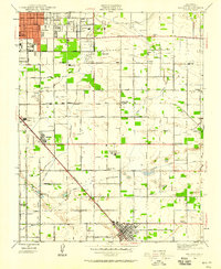 1946 Malaga1946 Print · USGSFresno and the surrounding vineyards and settlements are captured here in the mid-1940s. Genealogists and researchers can trace the agricultural landscape of Malaga, Fowler, and Lone Star while locating local landmarks like Adams Airport and the De Wolf Sch.
 - 1946 Map of Selma, 1954 Print
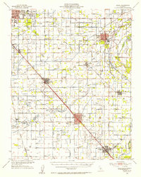 1946 Selma1954 Print · USGSFresno County's agricultural heartland is captured here in the mid-1940s, showing the extensive irrigation network supporting the valley's towns. Genealogists can locate family landmarks like Kings River Cemetery, Fruitvale School, and the Swedish Mission.2 unique versions available
 - 1947 Map of Malaga
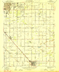 1947 Malaga1947 Print · USGSThe agricultural heart of the San Joaquin Valley is revealed in this post-war survey, showing the intricate irrigation canals and rail lines serving Fresno and Fowler. Trace the early development of Malaga, find local landmarks like Easterby Sch, or locate the historic Alta Vineyards Mattei Plant.
 - 1948 Map of Fresno
 1948 Fresno1948 Print · USGSThe San Joaquin Valley and the High Sierra met during a period of rapid post-war growth and industrial expansion. Genealogists and researchers can trace family lines through small rail towns like Calwa City, find early aviation sites at Fresno-Chandler, or locate the Fresno Copper Mine.
 - 1955 Map of Fresno
 1955 Fresno1955 Print · USGSThe Central Valley and High Sierra meet in this mid-fifties study of California’s agricultural and wilderness heart. Researchers can trace the rail-side growth of Sanger, Selma, and Reedley or locate high-altitude landmarks like Mt Whitney and Hume Lake.
 - 1956 Map of Fresno
 1956 Fresno1956 Print · USGSThe Central Valley and High Sierra meet in this mid-fifties survey of a rapidly developing California interior. Researchers can trace the rail-and-water networks of Visalia, the footprint of Tulare Lake, and the remote heights of Sequoia National Park.
 - 1958 Map of Fresno
 1958 Fresno1958 Print · USGSThe Central Valley and High Sierra meet in this mid-century survey of the California heartland. Researchers can trace the rail-and-road network connecting Fresno and Visalia or locate high-country landmarks like Mt Whitney and Sequoia National Park.
 - 1960 Map of Fresno
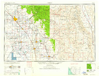 1960 Fresno1960 Print · USGSThe San Joaquin Valley's mid-century agricultural boom meets the high peaks of the Sierra Nevada in this detailed survey. Genealogists and historians can trace the rail-driven growth of Fresno, Tulare, and Visalia or locate family roots in smaller towns like Raisin City and Calwa City.2 unique versions available
 - 1962 Map of Fresno, 1968 Print
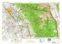 1962 Fresno1968 Print · USGSThe Central Valley and High Sierra meet in this mid-century survey, capturing the region's massive irrigation systems and mountain wilderness. Researchers can trace the rail corridors of the Southern Pacific and locate landmarks like the Tulare Lake Bed and Mount Whitney.3 unique versions available
 - 1964 Map of Malaga, 1965 Print
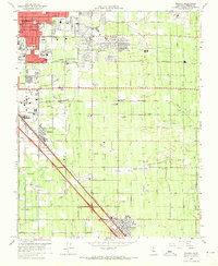 1964 Malaga1965 Print · USGSSoutheast of Fresno in the mid-sixties, this area shows a landscape defined by dual rail lines and a complex irrigation network. Genealogists and historians can trace the growth of Malaga and Fowler, locating landmarks like Lone Star Sch and the US Experimental Station.3 unique versions available
 - 1966 Map of Fresno
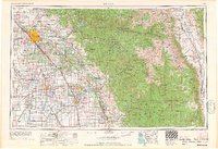 1966 Fresno1966 Print · USGSCentral California in the mid-1960s showcases a high-production agricultural valley rising into the granite peaks of the High Sierra. Researchers can trace irrigation networks, rail spurs like the Southern Pacific, and landmarks from Mount Whitney to the Lemoore Naval Air Station.
 - 1982 Map of Fresno, 1983 Print
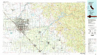 1982 Fresno1983 Print · USGSThe San Joaquin Valley's agricultural and urban landscape is captured here in the early eighties as Fresno expanded northward. Researchers can trace the rail lines of the Southern Pacific RR and identify landmarks like Raisin City and Kingsburg.2 unique versions available
 - 2012 Map of Malaga, 2012 Print
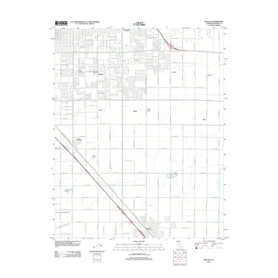 2012 Malaga2012 Print · USGSThe agricultural heart of the San Joaquin Valley comes into focus in this modern era survey of Fresno County. Researchers can trace the development of irrigation networks like the Fancher Cr Canal and local settlements including Malaga, Lone Star, and Mattei.
 - 2015 Map of Malaga, 2015 Print
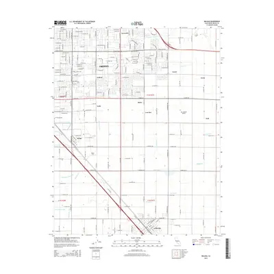 2015 Malaga2015 Print · USGSThe fertile San Joaquin Valley southeast of Fresno is shown here in the mid-2010s, defined by its intricate network of irrigation canals. Genealogists and historians can trace the development of agricultural communities like Malaga, Mattei, and Lone Star.
 - 2018 Map of Malaga, 2018 Print
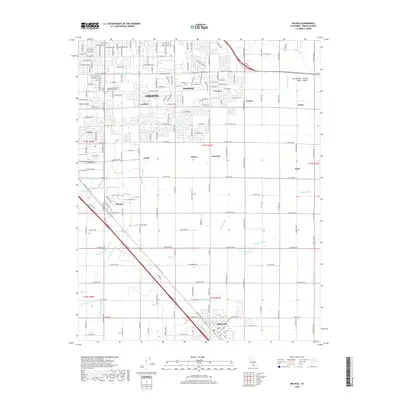 2018 Malaga2018 Print · USGSSoutheast of Fresno in the late 2010s, this area reveals a landscape deeply shaped by irrigation and rail transit. Genealogists and local historians can trace the footprint of settlements like Malaga, Goldleaf, and Fowler alongside institutional sites like Fresno Pacific Univ.
 - 2021 Map of Malaga, 2021 Print
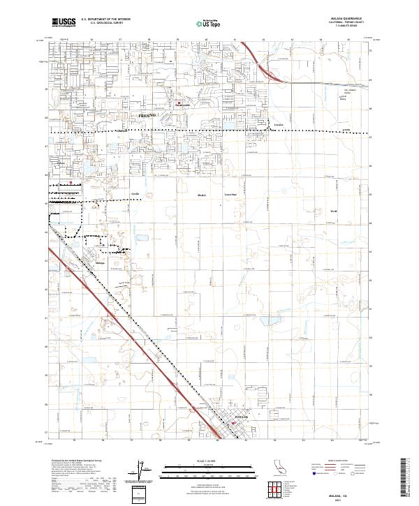 2021 Malaga2021 Print · USGSThe southern outskirts of Fresno and the neighboring city of Fowler are shown here in the early 2020s amidst a vast irrigation network. Genealogists and local historians can trace family-named lands near Sunnyside, Lone Star, and the Fresno Colony Canal.
End of results
Showing maps 1-17 of 17
Top cities near Locans
- Fresno historical maps
- Clovis historical maps
- Reedley historical maps
- Sanger historical maps
- Selma historical maps
- Dinuba historical maps
See more
Frequently asked questions
- What are the different types of historical maps available for Locans?
- What is the oldest map of Locans?
- Where can I purchase historical maps of Locans for my home or office?
- Where can I download high-res historical maps of Locans?
- Are there historical topographic maps available for Locans?
- Is there historical aerial imagery available for Locans?
- Where are historical maps of Locans sourced from?