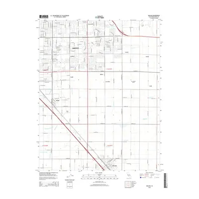
2015 Map of Malaga
USGS Topo · Published 2015About this map
Fresno expansion and agricultural irrigation define the landscape of the southern San Joaquin Valley in this detailed survey. The map documents a dense grid of named irrigation canals essential to the region's viticulture and orchards, including the Fancher Cr Canal, Washington Canal, and the Fowler Switch Canal. These waterways snake through a landscape of historic rail-side settlements and agricultural hubs like Malaga, Calwa, and Mattei. The suburban interface is visible at Sunnyside and around Fresno Pacific University, while the southern reaches transition into more open farmland near Fowler. Aviation history is represented by Turner Field, and the rural character of the area is further evidenced by smaller named localities such as Lone Star and Cecile, many of which grew around former freight stops and processing plants.
Find a feature on this map
118 named features on this map. Tap any name to fly to it.
Don’t see what you’re looking for? This feature index may not catch every label — zoom into the map to look around manually.
Map Details
Editions of this 2015 Malaga Map
This is the sole edition of this map. No revisions or reprints were ever made.
Other maps of this area

1921 · Bullard
USGS Topo · 1:31,680

1922 · Round Mountain
USGS Topo · 1:31,680

1923 · Malaga
USGS Topo · 1:31,680

1923 · Fresno
USGS Topo · 1:31,680

1923 · Clovis
USGS Topo · 1:31,680

1923 · Sanger
USGS Topo · 1:31,680

1923 · Bullard
USGS Topo · 1:31,680

1924 · Selma
USGS Topo · 1:31,680

1924 · Conejo
USGS Topo · 1:31,680

1925 · Caruthers
USGS Topo · 1:31,680