2000s (21st Century) Maps of Mono Hot Springs, California
Explore 5 historic maps of Mono Hot Springs from the 2000s (21st Century). These maps offer a rare glimpse into what life looked like during the 2000s — showing old roads, neighborhoods, homes, and landmarks that have changed or disappeared over time.
Whether you're researching your family's past, planning a metal detecting trip, or studying how Mono Hot Springs's landscape evolved across the 2000s, these high-resolution maps are a powerful tool for exploring the history of this region.
- Focus on a specific era: All maps on this page are from the 2000s, giving you a focused view of this time period.
- See what’s changed: Compare century-old streets, trails, and buildings to today's modern landscape using overlays and satellite layers.
- Research with precision: Use these maps for genealogy, historical research, land use analysis, or educational projects.
- View, download, or print: Maps are fully viewable online in high resolution, and can be downloaded or printed for your own records.
Start exploring Mono Hot Springs's history through authentic maps from the 2000s. This is your window into the past.
Mono Hot Springs, CA maps
(5)- 2004 Map of Mount Givens, 2007 Print
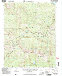 2004 Mount Givens2007 Print · USGSThe High Sierra near Fresno is documented here in the early 2000s, showcasing the intersection of five distinct wilderness areas. Genealogists and historians can trace high-country seasonal sites like Mono Hot Springs Resort, Weldons Camp, and the high-elevation Kaiser Pass Road.2 unique versions available
 - 2012 Map of Mount Givens, 2012 Print
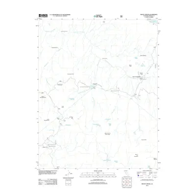 2012 Mount Givens2012 Print · USGSCovers Mono Hot Springs, including Fresno County, United States, and other nearby areas
 - 2015 Map of Mount Givens, 2015 Print
 2015 Mount Givens2015 Print · USGSCovers Mono Hot Springs, including Fresno County, United States, and other nearby areas
 - 2018 Map of Mount Givens, 2018 Print
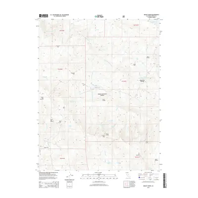
 2018 Mount Givens2018 Print · USGSCovers Mono Hot Springs, including Fresno County, United States, and other nearby areas
 - 2021 Map of Mount Givens, 2021 Print
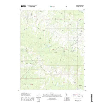
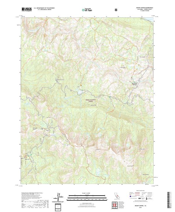 2021 Mount Givens2021 Print · USGSThe high Sierra Nevada backcountry near Fresno is captured here in the early twenty-first century, showing the intersection of hydro-engineering and wilderness. Trace historical pack routes like the California Riding And Hiking Trl to Mono Hot Springs and Badger Flat.
End of results
Showing maps 1-5 of 5
Frequently asked questions
- What are the different types of historical maps available for Mono Hot Springs?
- What is the oldest map of Mono Hot Springs?
- Where can I purchase historical maps of Mono Hot Springs for my home or office?
- Where can I download high-res historical maps of Mono Hot Springs?
- Are there historical topographic maps available for Mono Hot Springs?
- Is there historical aerial imagery available for Mono Hot Springs?
- Where are historical maps of Mono Hot Springs sourced from?