Old Maps of Rock Haven, California for Metal Detecting
Plan your next treasure hunt with 13 historic maps of Rock Haven. Find old homesites, ghost towns, trails, and gathering spots that may be lost to time — perfect for identifying promising metal detecting locations.
- Locate forgotten sites: Uncover places like long-lost settlements, abandoned rail lines, or gathering spots.
- Plan better hunts: Use map overlays combined with LiDAR or satellite views to narrow in on historically rich areas.
- Made for detectorists: Thousands of hobbyists use these maps to discover relics, coins, and hidden history.
Use these historic maps to boost your research and find new opportunities beneath the surface of Rock Haven.
Rock Haven, CA maps
(13)- 1904 Map of Kaiser
 1904 Kaiser1904 Print · USGSThe central Sierra Nevada high country is captured here during the first years of the twentieth century, showing the early logging and mining trails of the Sierra Forest Reserve. Researchers can locate historic mills and camps like Damon Mill, Tollhouse, and Ockenden before the expansion of mountain reservoirs.8 unique versions available
 - 1947 Map of Mariposa, 1948 Print
 1947 Mariposa1948 Print · USGSThe High Sierra and Owens Valley transition is captured here in the late 1940s, just as the region’s hydroelectric and tourism infrastructure was maturing. Genealogists and historians can trace old ranger stations, the Casa Diablo Mine, and rail stops along the Southern Pacific like Benton Station and Zurich.2 unique versions available
 - 1948 Map of Mariposa, 1951 Print
 1948 Mariposa1951 Print · USGSThe High Sierra and Mariposa foothills are shown here in the late 1940s as the post-war tourism and water infrastructure expanded. Genealogists and historians can locate vanished waypoints like Mormon Bar, the Glacier Point Hotel, and the granite quarries of Knowles.
 - 1953 Map of Shaver Lake, 1955 Print
 1953 Shaver Lake1955 Print · USGSThe Sierra Nevada high country comes into focus in the mid-1950s as a hub of hydroelectric power and mountain settlement. Genealogists and historians can trace families and worksites at Italian Bar, the Old Bretz Mill, and the Wish-i-Ah Sanatorium.5 unique versions available
 - 1957 Map of Mariposa, 1966 Print
 1957 Mariposa1966 Print · USGSThe High Sierra and Owens Valley appear in the mid-fifties, showing the intersection of conservation, hydroelectric power, and mountain industry. Genealogists and researchers can trace local landmarks like Yosemite Cemetery, the remote Kinsley Station, and the Pine Creek Mine.4 unique versions available
 - 1963 Map of Mariposa
 1963 Mariposa1963 Print · USGSThe High Sierra and Owens Valley meet in the early sixties, showing a landscape defined by gold-rush history and massive post-war water projects. Genealogists and researchers can trace old mining routes near Mariposa, locate the Glacier Point Hotel, and find small settlements like Coarse Gold or Knowles Junction.
 - 1980 Map of Shaver Lake
 1980 Shaver Lake1980 Print · USGSThe Sierra Nevada foothills and high country come into focus during the early eighties, showing the region's complex water and timber infrastructure. Researchers can trace the heritage of local industry at Knowles Quarry, Buchanan Mine, and the hydroelectric works around Big Creek.3 unique versions available
 - 1982 Map of Musick Mtn, 1983 Print
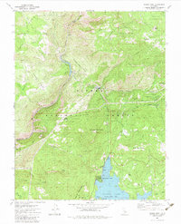 1982 Musick Mtn1983 Print · USGSThe High Sierra hydroelectric and timber landscape comes into focus in the early eighties as powerhouses and forest stations dot the rugged terrain. Researchers can trace the Old Railroad Grade, locate the Musick Mountain Lookout, and explore settlements like Camp Sierra.2 unique versions available
 - 2004 Map of Musick Mountain, 2007 Print
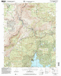 2004 Musick Mountain2007 Print · USGSThe High Sierra backcountry of Madera and Fresno counties comes into focus in this early 2000s study of the San Joaquin River corridor. Researchers can trace the industrial legacy of the Mammoth Pool Powerhouse alongside family landmarks like Hogue Ranch and Ross Cabin.2 unique versions available
 - 2012 Map of Musick Mountain, 2012 Print
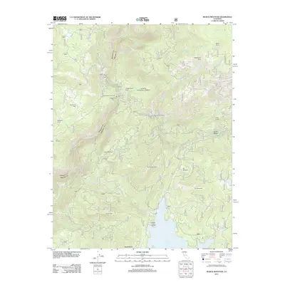 2012 Musick Mountain2012 Print · USGSFresno County's high-country hydroelectric and timber history is on display in this recent survey of the Big Creek region. Researchers can trace the Old RR Grade Rd and locate specific infrastructure like Mammoth Pool Powerhouse and the mountain community at Camp Sierra.
 - 2015 Map of Musick Mountain, 2015 Print
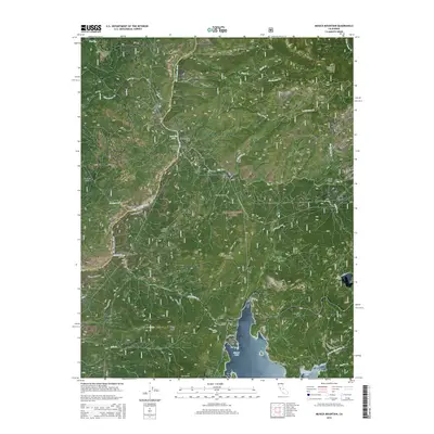 2015 Musick Mountain2015 Print · USGSHigh in the Fresno County mountains during the mid-2010s, this area showcases a landscape defined by hydroelectric power and forest retreats. Researchers can trace historic access routes like Old RR Grade Rd and locate landmarks from Camp Sierra to the granite heights of Musick Mountain.
 - 2018 Map of Musick Mountain, 2018 Print
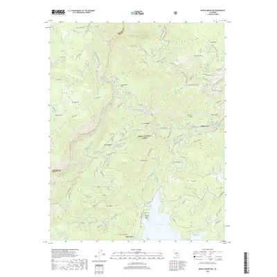 2018 Musick Mountain2018 Print · USGSThe high Sierra country of Fresno County is shown here in the 2010s, where hydroelectric power and mountain recreation meet. Researchers can trace the S J & E Railroad Grade or locate historic sites like Camp Sierra and Rock Haven.
 - 2021 Map of Musick Mountain, 2021 Print
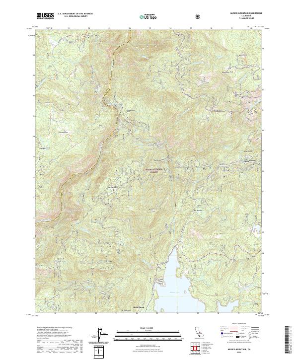 2021 Musick Mountain2021 Print · USGSThe high Sierra backcountry near the Madera and Fresno County line is documented here in the early twenty-first century. Researchers can trace the legacy of mountain industry and transit through the S J B E Railroad Grade and the infrastructure at Shaver Lake.
End of results
Showing maps 1-13 of 13
Frequently asked questions
- What are the different types of historical maps available for Rock Haven?
- What is the oldest map of Rock Haven?
- Where can I purchase historical maps of Rock Haven for my home or office?
- Where can I download high-res historical maps of Rock Haven?
- Are there historical topographic maps available for Rock Haven?
- Is there historical aerial imagery available for Rock Haven?
- Where are historical maps of Rock Haven sourced from?