Old Maps of Chrome, California for Metal Detecting
Plan your next treasure hunt with 12 historic maps of Chrome. Find old homesites, ghost towns, trails, and gathering spots that may be lost to time — perfect for identifying promising metal detecting locations.
- Locate forgotten sites: Uncover places like long-lost settlements, abandoned rail lines, or gathering spots.
- Plan better hunts: Use map overlays combined with LiDAR or satellite views to narrow in on historically rich areas.
- Made for detectorists: Thousands of hobbyists use these maps to discover relics, coins, and hidden history.
Use these historic maps to boost your research and find new opportunities beneath the surface of Chrome.
Chrome, CA maps
(12)- 1919 Map of Elk Creek, 1939 Print
 1919 Elk Creek1939 Print · USGSGlenn County ranching and forest lands are shown here just after the Great War, when pack trails still connected remote mountain outposts. Trace the early routes to Oriental, Ivory Mill, and the settlement at Elk Creek.
 - 1948 Map of Elk Creek
 1948 Elk Creek1948 Print · USGSThe eastern edges of the Mendocino National Forest come into focus in the late 1940s, showing a rugged transition between ranchland and timber. Researchers can trace historic family holdings like El Manzano Rancho, the Grindstone Rancheria Indian Res, and the waters of Stony Gorge Reservoir.2 unique versions available
 - 1957 Map of Elk Creek, 1959 Print
 1957 Elk Creek1959 Print · USGSThe eastern foothills of the Mendocino National Forest come alive in the late 1950s, centered on the community of Elk Creek. Genealogists and historians can trace ranching heritage at El Manzano Rancho or explore the early shoreline of Stony Gorge Reservoir.2 unique versions available
 - 1957 Map of Ukiah, 1966 Print
 1957 Ukiah1966 Print · USGSNorthern California's diverse terrain comes into focus in the mid-1950s, from the rugged timberlands of the Jackson State Forest to the productive Sacramento Valley. Genealogists and historians can trace the rail lines of the Northwestern Pacific or locate early valley settlements like Arbuckle and Paskenta.3 unique versions available
 - 1960 Map of Ukiah
 1960 Ukiah1960 Print · USGSNorthern California during the late fifties reveals a landscape of deep timber forests and valley agriculture before modern expansion. Trace the historic rail lines of the California Western RR and the Northwestern Pacific RR through settlements like Fort Bragg and Ukiah.2 unique versions available
 - 1968 Map of Chrome, 1969 Print
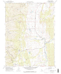 1968 Chrome1969 Print · USGSIn the Glenn County foothills during the late 1960s, the ranching and mining landscape of the Coast Range comes into focus. Genealogists and local historians can trace family locations like Gillaspy Ranch and find specific landmarks such as Watson Grave or the Grindstone Cem.3 unique versions available
 - 1987 Map of Willows, 1988 Print
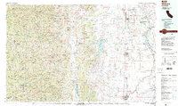 1987 Willows1988 Print · USGSThe northern Sacramento Valley meets the Coast Range in the late eighties, showing a landscape defined by water and transit. Researchers can trace the Southern Pacific railroad past Artois and Corning, or locate family-named landmarks like Larkins Childrens Rancho and Snaden Island.2 unique versions available
 - 1995 Map of Chrome, 2001 Print
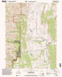 1995 Chrome2001 Print · USGSIn the Glenn County foothills during the 1990s, the landscape was a mix of working ranches and mineral wealth. Researchers can trace the heritage of the Grindstone Rancheria or locate family-named sites like the Gillaspy Ranch and the Gray Eagle Mine.
 - 2012 Map of Chrome, 2012 Print
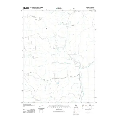 2012 Chrome2012 Print · USGSThe ranchlands of Glenn County appear here in the early twenty-first century as the foothills meet the coastal range. Researchers can trace local heritage through the Millsap Cem, Gillaspy Ranch, and the old Powder House near the mountain roads.
 - 2015 Map of Chrome, 2015 Print
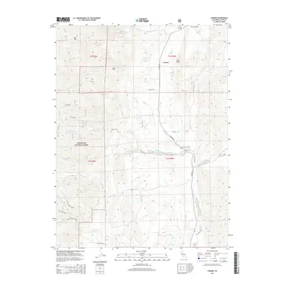 2015 Chrome2015 Print · USGSGlenn County ranching and forest lands are captured in the mid-2010s, centered on the historic settlement of Chrome. Researchers can locate isolated landmarks like the Millsap Cemetery, the Watson Grave, and the transition into the Mendocino National Forest.
 - 2018 Map of Chrome, 2018 Print
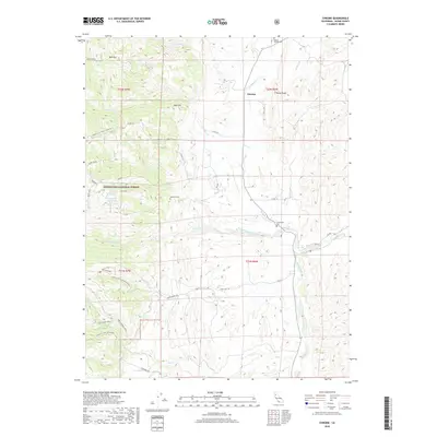 2018 Chrome2018 Print · USGSThe foothills of Glenn County appear in this recent survey, capturing the ranching landscape near the Mendocino National Forest. Genealogists and local historians can locate remote landmarks like Watson Grave and the Millsap Chrome Cem near the namesake settlement of Chrome.
 - 2021 Map of Chrome, 2021 Print
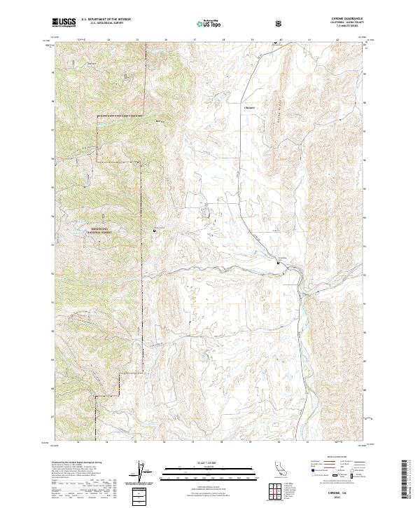 2021 Chrome2021 Print · USGSNorthern Glenn County ranchlands meet the foothills in this modern survey of the Chrome area. Genealogists and historians can locate legacy burial sites at Chrome Cem, Grindstone Cem, and the lone Watson Grave.
End of results
Showing maps 1-12 of 12
Top cities near Chrome
Frequently asked questions
- What are the different types of historical maps available for Chrome?
- What is the oldest map of Chrome?
- Where can I purchase historical maps of Chrome for my home or office?
- Where can I download high-res historical maps of Chrome?
- Are there historical topographic maps available for Chrome?
- Is there historical aerial imagery available for Chrome?
- Where are historical maps of Chrome sourced from?