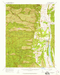
1957 Map of Elk Creek
USGS Topo · Published 1959About this map
Elk Creek serves as the focal point for this 1957 survey of Glenn County, situated where the foothills meet the rising Mendocino National Forest. The landscape is defined by the recently created Stony Gorge Reservoir on Stony Creek, which provides a sharp contrast to the high, dry ridges of the Mendocino and Glenn county lines. The interior topography is a complex network of ranching and agricultural operations, including El Manzano Rancho, Gillaspy Ranch, and Valley View Orchard, illustrating the region's mid-century reliance on mountain water and valley soil.
Find a feature on this map
82 named features on this map. Tap any name to fly to it.
Don’t see what you’re looking for? This feature index may not catch every label — zoom into the map to look around manually.
Map Details
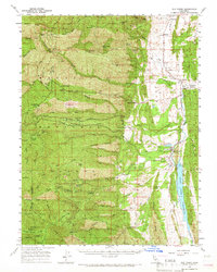
Editions of this 1957 Elk Creek Map
2 editions found
Other maps of this area
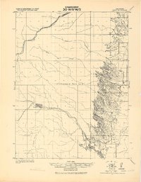
1919 · Fruto
USGS Topo · 1:62,500
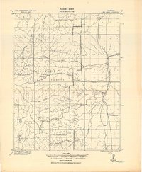
1919 · Elk Creek
USGS Topo · 1:62,500
1922 · Hullville
USGS Topo · 1:62,500
1943 · Lodoga
USGS Topo · 1:62,500
1944 · Fruto
USGS Topo · 1:62,500
1944 · Flournoy
USGS Topo · 1:62,500
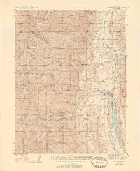
1948 · Elk Creek
USGS Topo · 1:62,500
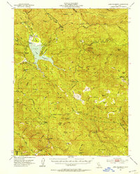
1951 · Lake Pillsbury
USGS Topo · 1:62,500
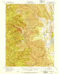
1951 · Stonyford
USGS Topo · 1:62,500
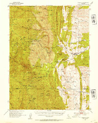
1952 · Paskenta
USGS Topo · 1:62,500