
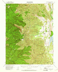
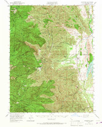
1951 Map of Stonyford
USGS Topo · Published 1953About this map
The settlement of Stonyford and the nearby Stonyford Rancheria (Site) sit at the base of the mountains where Stony Creek flows toward the East Fork Reservoir. This 1951 survey documents a transition from the agricultural lowlands of the Salt Spring Valley to the heavily timbered peaks of the Mendocino National Forest. The landscape is defined by its numerous springs and isolated outposts, such as Fouts Springs and the Ruby King Mine, which speak to the area's history of mineral extraction and recreation. High-elevation fire protection is evident at the Sheetiron Mtn Lookout and Goat Mtn Lookout. The map also captures several family-named landmarks like Brittan Ranch and Meyers Cabin, alongside a network of trails and unimproved roads like Smelt Road Ridge that provided access to the remote glades and ridges of the Inner Coast Range during the mid-century era.
Find a feature on this map
62 named features on this map. Tap any name to fly to it.
Don’t see what you’re looking for? This feature index may not catch every label — zoom into the map to look around manually.
Map Details
Editions of this 1951 Stonyford Map
3 editions found
Other maps of this area

1919 · Fruto
USGS Topo · 1:62,500

1919 · Elk Creek
USGS Topo · 1:62,500

1920 · Venado
USGS Topo · 1:62,500

1922 · Hullville
USGS Topo · 1:62,500

1924 · Bartlett Springs
USGS Topo · 1:62,500

1938 · Lakeport
USGS Topo · 1:62,500

1942 · Bartlett Springs
USGS Topo · 1:62,500

1943 · Lodoga
USGS Topo · 1:62,500

1944 · Bartlett Springs
USGS Topo · 1:62,500

1944 · Fruto
USGS Topo · 1:62,500