
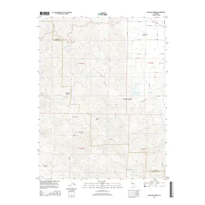
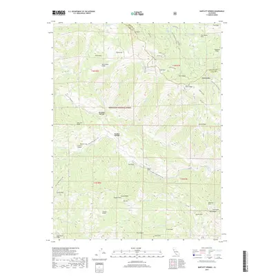
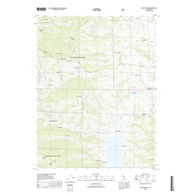
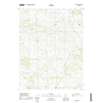
1924 Map of Bartlett Springs
USGS Topo · Published 1924About this map
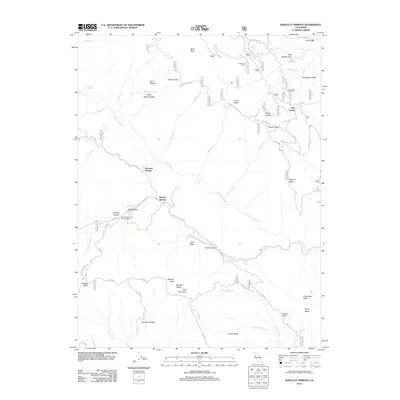
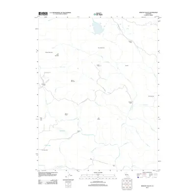
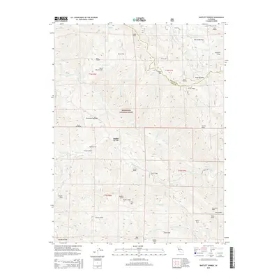
Bartlett Springs and its neighboring mineral water resorts define this mountainous landscape in Lake County. Surveyed by the Corps of Engineers just before the 1920s, the map reveals a remote network of springs and creeks tucked between the Goat Mountain Range and the northern reaches of Clear Lake. The presence of Allen Springs and Hough Springs further east indicates the era's reliance on these natural features as significant destinations for tourism and health. The terrain is marked by deep drainage basins like Long Valley Creek and the meandering Cache Creek, which flow toward the broad Indian Valley to the east. This tactical map, overseen by Col. Thos. H. Jackson, provides a rare look at the early road system connecting these isolated settlements before modern highway development changed the region's accessibility.
Find a feature on this map
17 named features on this map. Tap any name to fly to it.
Don’t see what you’re looking for? This feature index may not catch every label — zoom into the map to look around manually.
Map Details
Editions of this 1924 Bartlett Springs Map
This is the sole edition of this map. No revisions or reprints were ever made.
Historical Maps of Clearlake Oaks Through Time
103 maps found

1922 Hullville
Lake County, CA
1924 Bartlett Springs
Lake County, CA

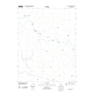
1942 Bartlett Springs
Lake County, CA

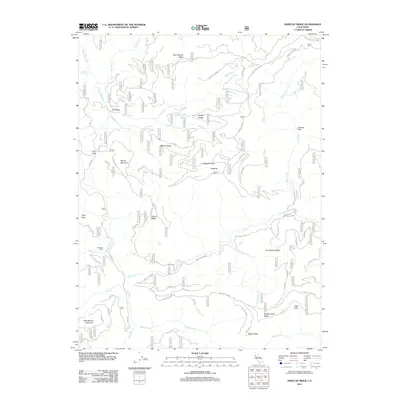
1943 Morgan Valley
Lake County, CA

1944 Bartlett Springs
Lake County, CA

1944 Morgan Valley
Lake County, CA

1951 Lake Pillsbury
Lake County, CA

1958 Bartlett Mtn
Lake County, CA

1958 Clearlake Highlands
Lake County, CA

1958 Detert Reservoir
Lake County, CA

1958 Jericho Valley
Lake County, CA

1958 Morgan Valley
Lake County, CA

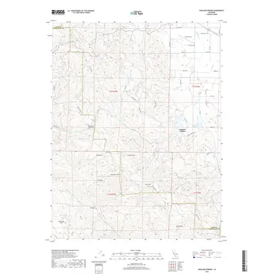
1958 Whispering Pines
Lake County, CA

1958 Wilson Valley
Lake County, CA

1959 Highland Springs
Lake County, CA

1967 Crockett Peak
Lake County, CA

1967 Elk Mountain
Lake County, CA

1967 Kneecap Ridge
Lake County, CA

1967 Lake Pillsbury
Lake County, CA

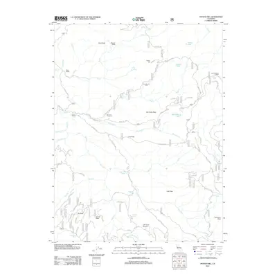
1967 Potato Hill
Lake County, CA

1977 Bartlett Mtn
Lake County, CA

1977 Clearlake Highlands
Lake County, CA

1977 Highland Springs
Lake County, CA

1989 Barlett Springs
Lake County, CA

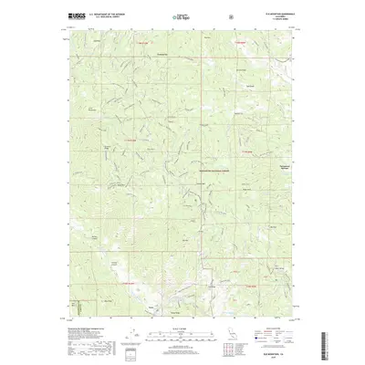
1989 Benmore Canyon
Lake County, CA

1989 Hough Springs
Lake County, CA

1993 Clearlake Highlands
Lake County, CA

1993 Detert Reservoir
Lake County, CA

1993 Highland Springs
Lake County, CA

1993 Whispering Pines
Lake County, CA

1996 Bartlett Mountain
Lake County, CA

1996 Bartlett Springs
Lake County, CA

1996 Benmore Canyon
Lake County, CA

1996 Crockett Peak
Lake County, CA

1996 Elk Mountain
Lake County, CA

1996 Hough Springs
Lake County, CA

1996 Kneecap Ridge
Lake County, CA

1996 Lake Pillsbury
Lake County, CA

1996 Potato Hill
Lake County, CA

1997 Detert Reservoir
Lake County, CA

1998 Whispering Pines
Lake County, CA

1998 Wilson Valley
Lake County, CA

2012 Bartlett Mountain
Lake County, CA
2012 Bartlett Springs
Lake County, CA

2012 Benmore Canyon
Lake County, CA

2012 Clearlake Highlands
Lake County, CA
2012 Crockett Peak
Lake County, CA
2012 Detert Reservoir
Lake County, CA

2012 Elk Mountain
Lake County, CA

2012 Highland Springs
Lake County, CA
2012 Hough Springs
Lake County, CA
2012 Jericho Valley
Lake County, CA
2012 Kneecap Ridge
Lake County, CA

2012 Lake Pillsbury
Lake County, CA
2012 Potato Hill
Lake County, CA

2012 Whispering Pines
Lake County, CA
2012 Wilson Valley
Lake County, CA

2015 Bartlett Mountain
Lake County, CA
2015 Bartlett Springs
Lake County, CA

2015 Benmore Canyon
Lake County, CA

2015 Clearlake Highlands
Lake County, CA
2015 Crockett Peak
Lake County, CA
2015 Detert Reservoir
Lake County, CA
2015 Elk Mountain
Lake County, CA
2015 Highland Springs
Lake County, CA
2015 Hough Springs
Lake County, CA
2015 Jericho Valley
Lake County, CA
2015 Kneecap Ridge
Lake County, CA

2015 Lake Pillsbury
Lake County, CA
2015 Potato Hill
Lake County, CA

2015 Whispering Pines
Lake County, CA
2015 Wilson Valley
Lake County, CA

2018 Bartlett Mountain
Lake County, CA
2018 Bartlett Springs
Lake County, CA

2018 Benmore Canyon
Lake County, CA

2018 Clearlake Highlands
Lake County, CA
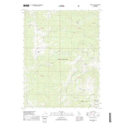
2018 Crockett Peak
Lake County, CA
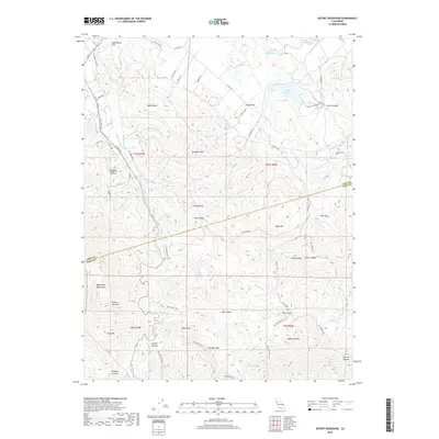
2018 Detert Reservoir
Lake County, CA
2018 Elk Mountain
Lake County, CA
2018 Highland Springs
Lake County, CA
2018 Hough Springs
Lake County, CA
2018 Jericho Valley
Lake County, CA
2018 Kneecap Ridge
Lake County, CA

2018 Lake Pillsbury
Lake County, CA
2018 Potato Hill
Lake County, CA

2018 Whispering Pines
Lake County, CA
2018 Wilson Valley
Lake County, CA

2021 Benmore Canyon
Lake County, CA

2021 Clearlake Highlands
Lake County, CA

2021 Crockett Peak
Lake County, CA

2021 Detert Reservoir
Lake County, CA

2021 Elk Mountain
Lake County, CA

2021 Highland Springs
Lake County, CA

2021 Hough Springs
Lake County, CA

2021 Jericho Valley
Lake County, CA

2021 Kneecap Ridge
Lake County, CA

2021 Lake Pillsbury
Lake County, CA

2021 Whispering Pines
Lake County, CA

2022 Bartlett Mountain
Lake County, CA

2022 Bartlett Springs
Lake County, CA

2022 Potato Hill
Lake County, CA

2022 Wilson Valley
Lake County, CA

2023 Lake Pillsbury
Lake County, CA