Loading...
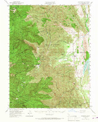
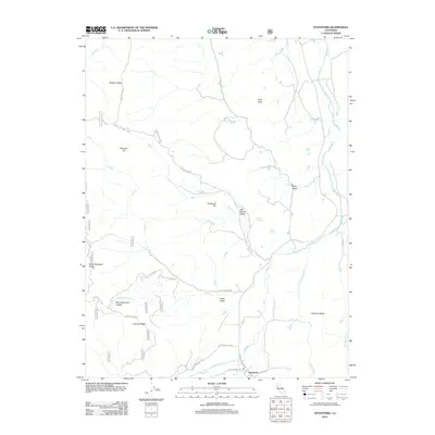
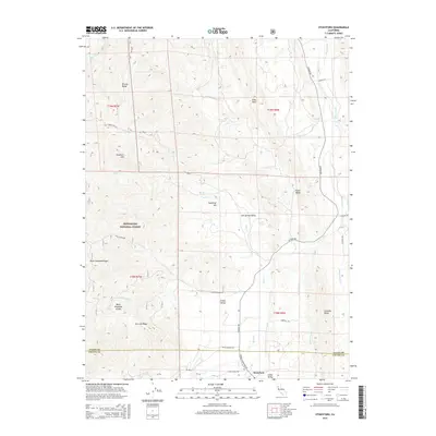
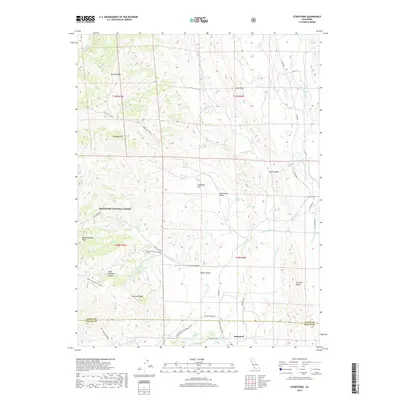
Loading map...1951 Map of Stonyford
USGS Topo · Published 1967About this map
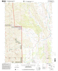
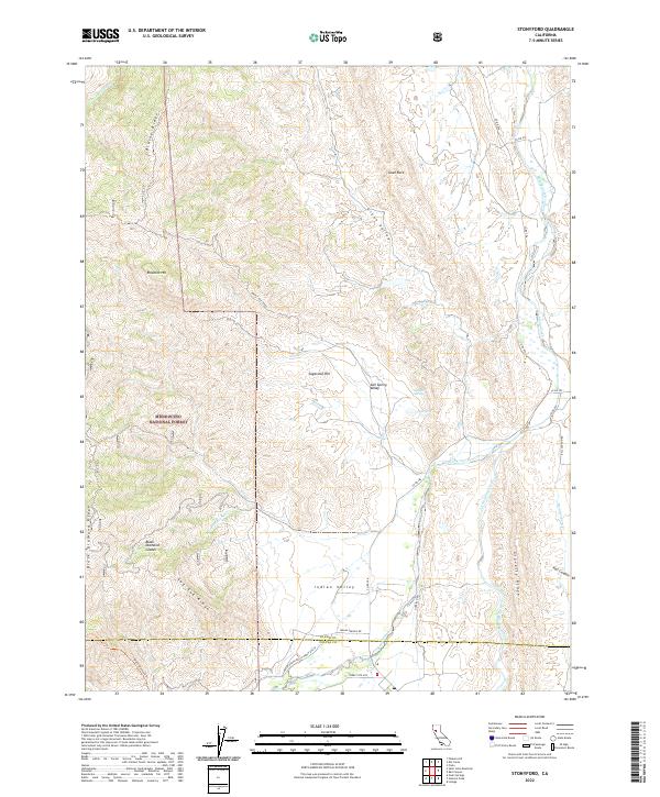
Mendocino National Forest dominates this mid-century landscape where the eastern slopes of the Coast Ranges meet the Sacramento Valley foothills. The settlement of Stonyford serves as a hub near the convergence of the North Fork Stony Creek and Little Stony Creek, showing the town's position before major modern infrastructure changes. Cultural sites such as the Stonyford Rancheria (Site) and a small Cem near the town center offer specific points of interest for genealogists and local historians.
Find a feature on this map
77 named features on this map. Tap any name to fly to it.
Don’t see what you’re looking for? This feature index may not catch every label — zoom into the map to look around manually.
Map Details
Date Portrayed1951
Date Published1967
PublisherU.S. Geological Survey
Map TypeTopographic
Scale1:62,500
Physical Dimensions16.6 x 20.8 inches
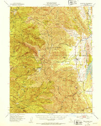
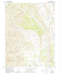
Editions of this 1951 Stonyford Map
3 editions found
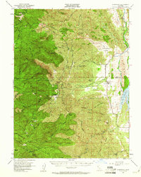
Historical Maps of Bonnie View Through Time
7 maps found
Featured Locations
Source Details
SourceU.S. Geological Survey
CopyrightPublic Domain