Old Maps of Miranda, California for Metal Detecting
Plan your next treasure hunt with 10 historic maps of Miranda. Find old homesites, ghost towns, trails, and gathering spots that may be lost to time — perfect for identifying promising metal detecting locations.
- Locate forgotten sites: Uncover places like long-lost settlements, abandoned rail lines, or gathering spots.
- Plan better hunts: Use map overlays combined with LiDAR or satellite views to narrow in on historically rich areas.
- Made for detectorists: Thousands of hobbyists use these maps to discover relics, coins, and hidden history.
Use these historic maps to boost your research and find new opportunities beneath the surface of Miranda.
Miranda, CA maps
(10)- 1921 Map of Briceland
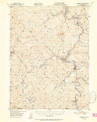
 1921 Briceland1921 Print · USGSHumboldt County ranching and river life are captured here during the first World War, showing the early infrastructure of the redwood region. Researchers can locate numerous family holdings like the Ben Stoddard Ranch and settlements at Briceland and Garberville.2 unique versions available
 - 1949 Map of Garberville, 1963 Print
 1949 Garberville1963 Print · USGSThe South Fork Eel River canyon in the late 1940s was the heart of Humboldt's redwood country. Researchers can trace the mid-century development of Garberville, find the Oakdale Sch, and locate old settlements like Briceland and Ettersburg before modern growth.3 unique versions available
 - 1951 Map of Garberville
 1951 Garberville1951 Print · USGSSouthern Humboldt County is defined by the winding course of the river and the redwoods in the early fifties. Genealogists and historians can trace the development of river towns like Garberville or locate rural schools such as Oakdale Sch and South Fork Union H S.2 unique versions available
 - 1958 Map of Redding
 1958 Redding1958 Print · USGSNorthern California's valley and mountain landscapes are captured in the late fifties, showing the region as new reservoirs reshaped the river systems. Genealogists and historians can trace rail-side towns like Cottonwood, the military presence at Red Bluff Air Force Station, and mountain outposts like Weaverville.5 unique versions available
 - 1970 Map of Miranda, 1974 Print
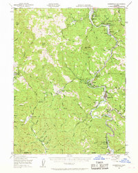
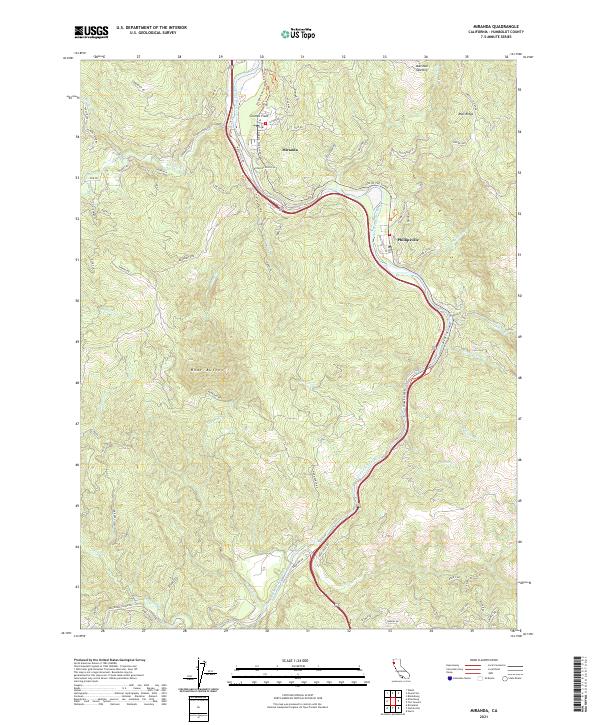
 1970 Miranda1974 Print · USGSHumboldt County’s redwood corridor is captured here in the early 1970s as the river and road networks shaped local life. Genealogists and historians can trace the foundations of Miranda, Phillipsville, and Redway alongside the iconic Avenue of the Giants.2 unique versions available
 - 1979 Map of Garberville, 1996 Print
 1979 Garberville1996 Print · USGSThe redwood forests and river canyons of Humboldt and Trinity counties are shown here in the late seventies. Genealogists and historians can trace rail-side life along the Northwestern Pacific RR or locate small settlements like Fort Seward, Alderpoint, and Zenia.
 - 2012 Map of Miranda, 2012 Print
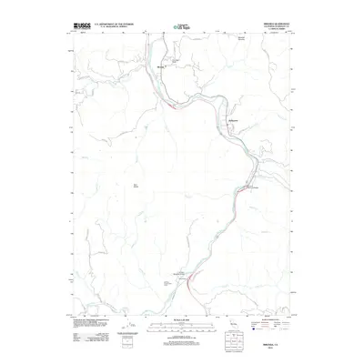 2012 Miranda2012 Print · USGSCovers Miranda, including Phillipsville, Humboldt County, and other nearby areas
 - 2015 Map of Miranda, 2015 Print
 2015 Miranda2015 Print · USGSCovers Miranda, including Phillipsville, Humboldt County, and other nearby areas
 - 2018 Map of Miranda, 2018 Print
 2018 Miranda2018 Print · USGSCovers Miranda, including Phillipsville, Humboldt County, and other nearby areas
 - 2021 Map of Miranda, 2021 Print
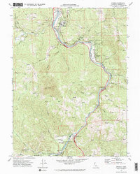
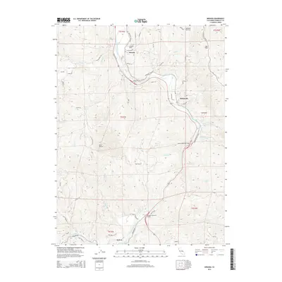
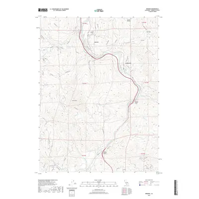
 2021 Miranda2021 Print · USGSHumboldt County's redwood country is documented here in the early twenty-first century as the river-hugging communities thrive along the South Fork Eel River. Researchers can trace local landmarks like Coombs Field, the Ave Of The Giants, and the ridges of Bear Buttes.
End of results
Showing maps 1-10 of 10
Top cities near Miranda
Frequently asked questions
- What are the different types of historical maps available for Miranda?
- What is the oldest map of Miranda?
- Where can I purchase historical maps of Miranda for my home or office?
- Where can I download high-res historical maps of Miranda?
- Are there historical topographic maps available for Miranda?
- Is there historical aerial imagery available for Miranda?
- Where are historical maps of Miranda sourced from?