Old Maps of Mount Signal, California
Explore 16 old maps of Mount Signal, spanning from 1915 to today. These high-resolution historic maps reveal how streets, neighborhoods, landmarks, and natural features evolved over time — perfect for genealogy, metal detecting, research, and local history exploration.
What you can do with these maps:
- See how Mount Signal changed over time: Compare historical maps to modern-day views to trace roads, homesites, rail lines & more.
- View detailed metadata: Each map includes creators, publishers, year, scale, and archive source.
- Overlay maps with satellite & LiDAR: Visualize the past alongside modern tools to explore terrain & human change.
- Trusted historical sources: Maps sourced from the USGS, Library of Congress, and other archives.
- Access maps your way: View online, download high-res files, or order prints for personal or research use.
Start exploring old maps of Mount Signal to uncover forgotten places, hidden landmarks, and the deep history beneath your feet.
Mount Signal, CA maps
(16)- 1915 Map of El Centro
 1915 El Centro1915 Print · USGSThe Imperial Valley was rapidly developing into an agricultural powerhouse in the decade before the Great War. You can trace early irrigation networks through West Side Main Canal and locate early settlements like Dixieland, Silsbee, and 101 Ranch.
 - 1940 Map of Heber, 1956 Print
 1940 Heber1956 Print · USGSThe Imperial Valley borderlands are captured here in the early 1940s, showing the complex web of irrigation and desert life. Trace the development of Heber and Calexico alongside the massive All American Canal and the family-linked Mt Signal Union Sch.
 - 1942 Map of El Centro
 1942 El Centro1942 Print · USGSThe Imperial Valley and the California-Mexico border are captured during the peak of World War II-era desert development. Genealogists and historians can trace defunct school districts like Meloland Sch and Sandia, or follow the path of the Inter-California Railroad across the international line.2 unique versions available
 - 1943 Map of Heber, 1945 Print
 1943 Heber1945 Print · USGSThe Imperial Valley borderlands thrived during the 1940s as a highly engineered agricultural landscape along the Mexico boundary. Genealogists can trace rural life through landmarks like Mt Signal Union Sch and the extensive network of irrigation ditches including the Dahlia Canal and All American Canal.
 - 1954 Map of El Centro
 1954 El Centro1954 Print · USGSThe Imperial Valley was at its mid-century agricultural peak when this survey recorded its vast irrigation network and desert borderlands. Researchers can trace the path of the All American Canal or locate local landmarks like Lantana School and the Tumco Mines.
 - 1955 Map of El Centro
 1955 El Centro1955 Print · USGSThe Imperial Valley and the Colorado River borderlands are captured here in the mid-fifties during the peak of the region's irrigation-driven expansion. Researchers can trace the desert's industrial history through the Tumco Mines, the Yuma Test Branch, and rural landmarks like the Palmetto School.
 - 1957 Map of Mount Signal, 1958 Print
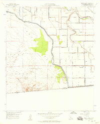 1957 Mount Signal1958 Print · USGSImperial County's agricultural frontier meets the desert at the international border in the mid-fifties, showing a landscape defined by massive irrigation projects. Researchers can trace the water network from the Westside Main Canal to the Mt Signal School and the Naval Reservation.4 unique versions available
 - 1957 Map of Heber, 1961 Print
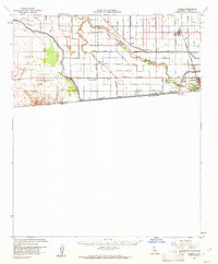 1957 Heber1961 Print · USGSThe Imperial Valley's complex irrigation and border activity are on full display during the late fifties. Researchers can trace the extensive canal networks feeding Heber and Calexico, or locate local landmarks like Mt Signal Sch and the County Hospital.2 unique versions available
 - 1958 Map of El Centro, 1972 Print
 1958 El Centro1972 Print · USGSThe Imperial Valley's agricultural heartland and the Colorado River's edge are captured here during a period of massive water infrastructure and military expansion. Genealogists and historians can trace old mining sites like the Ferguson Mine, desert outposts such as Ogilby, and early rail lines including the San Diego and Arizona Eastern.4 unique versions available
 - 1961 Map of El Centro
 1961 El Centro1961 Print · USGSThe California-Arizona borderlands come alive in this early sixties record of desert irrigation and military expansion. Genealogists and researchers can trace the engineering of the All American Canal and locate vanished sites like Araz and the Imperial County Tuberculosis Sanatorium.
 - 1964 Map of El Centro
 1964 El Centro1964 Print · USGSThe agricultural heart of the California desert and the military test ranges of Arizona are revealed in this mid-century study. Genealogists and historians can trace the paths of the Southern Pacific railroad and the All American Canal near El Centro and Yuma.
 - 1989 Map of El Centro, 1990 Print
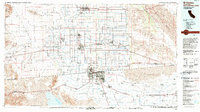 1989 El Centro1990 Print · USGSThe Imperial Valley and the international border come alive in this late-eighties survey of high-desert agriculture and military aviation. Researchers can trace the development of Calexico and Mexicali or locate landmarks like the Lechuga Store and Plaster City.
 - 2012 Map of Mount Signal, 2012 Print
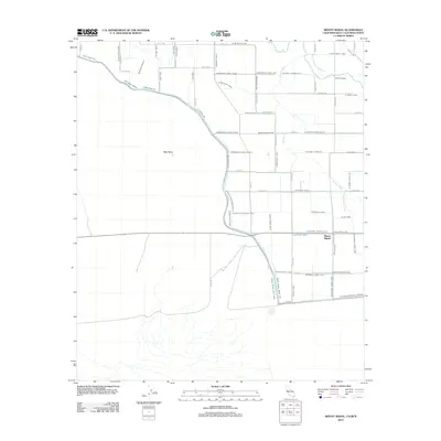 2012 Mount Signal2012 Print · USGSThe Imperial Valley borderlands come into focus in the early 2010s, showing a landscape defined by an intricate desert irrigation grid. Genealogists and local historians can trace the paths of the New River and Worm Wood Canal near Mount Signal.
 - 2015 Map of Mount Signal, 2015 Print
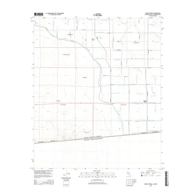 2015 Mount Signal2015 Print · USGSThe international border between California and Mexico is captured here in the mid-2010s, showing a landscape defined by desert and irrigation. Researchers can trace the path of the All-American Canal and locate landmarks like Mount Signal and the Yuha Desert.
 - 2018 Map of Mount Signal, 2018 Print
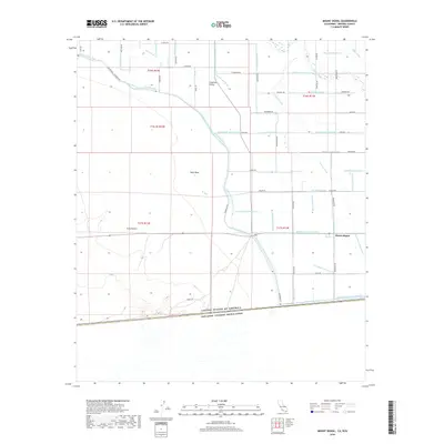 2018 Mount Signal2018 Print · USGSThe California-Mexico borderlands come into focus in this recent survey of the southern Imperial Valley. Local researchers can trace the intricate irrigation network surrounding Mount Signal, including the Wistaria Canal and Greeson Wash.
 - 2021 Map of Mount Signal, 2021 Print
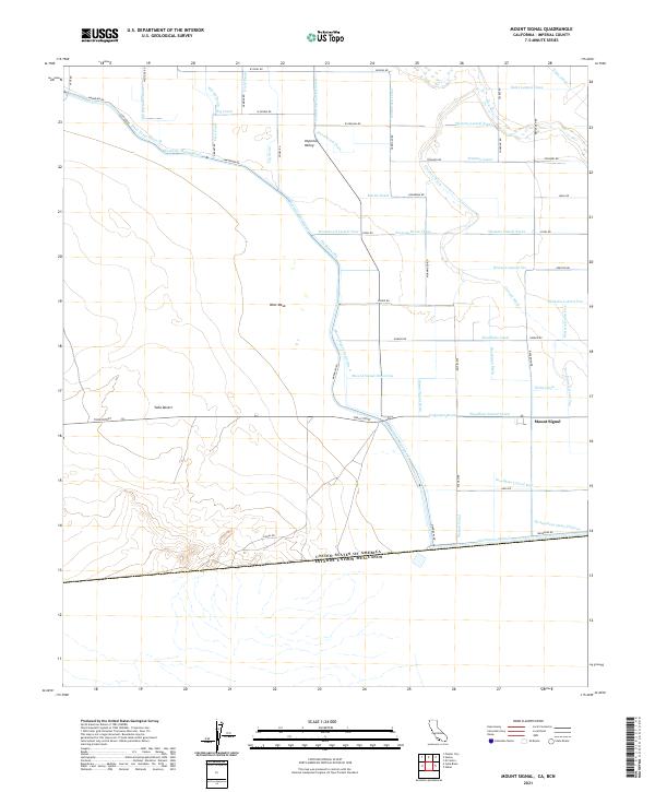 2021 Mount Signal2021 Print · USGSThe California-Mexico borderlands come into focus in this recent survey of the south Imperial Valley. Trace the complex irrigation network from Mount Signal to the All-American-Canal and the arid reaches of the Yuha Desert.
End of results
Showing maps 1-16 of 16
Top cities near Mount Signal
Frequently asked questions
- What are the different types of historical maps available for Mount Signal?
- What is the oldest map of Mount Signal?
- Where can I purchase historical maps of Mount Signal for my home or office?
- Where can I download high-res historical maps of Mount Signal?
- Are there historical topographic maps available for Mount Signal?
- Is there historical aerial imagery available for Mount Signal?
- Where are historical maps of Mount Signal sourced from?