Old Maps of Bishop, California for Academic Research
Study the evolution of Bishop with 20 high-resolution historic maps. Whether you're teaching, researching, or modeling changes in land use, these maps provide essential visual documentation of urban, environmental, and geographic change.
- Analyze long-term change: Track patterns in development, transportation, and natural features.
- Ideal for environmental or urban studies: Support academic projects with primary historical map data.
- Use in the classroom or lab: Educators and researchers rely on these maps to bring historical context to life.
These maps are a powerful tool for teaching, research, and visualizing how Bishop has changed over the decades.
Bishop, CA maps
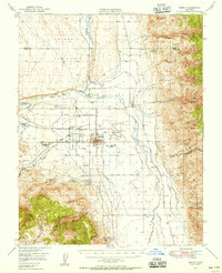
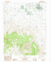
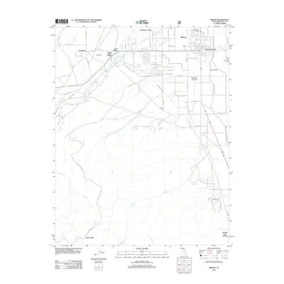
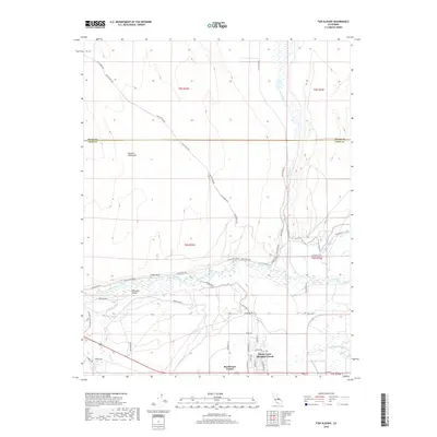
(20)- 1913 Map of Bishop
 1913 Bishop1913 Print · USGSThe Owens Valley was a landscape of high-altitude industry and burgeoning towns in the years before massive water diversions. Trace the path of the Southern Pacific Railroad through Laws and Big Pine, or locate family sites like Roberts Ranch and the Riverside School.8 unique versions available
 - 1947 Map of Mariposa, 1948 Print
 1947 Mariposa1948 Print · USGSThe High Sierra and Owens Valley transition is captured here in the late 1940s, just as the region’s hydroelectric and tourism infrastructure was maturing. Genealogists and historians can trace old ranger stations, the Casa Diablo Mine, and rail stops along the Southern Pacific like Benton Station and Zurich.2 unique versions available
 - 1948 Map of Mariposa, 1951 Print
 1948 Mariposa1951 Print · USGSThe High Sierra and Mariposa foothills are shown here in the late 1940s as the post-war tourism and water infrastructure expanded. Genealogists and historians can locate vanished waypoints like Mormon Bar, the Glacier Point Hotel, and the granite quarries of Knowles.
 - 1949 Map of Bishop, 1956 Print
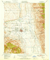
 1949 Bishop1956 Print · USGSThe Owens Valley was a center of mining and water engineering at mid-century, dominated by the growth of Bishop. Researchers can trace the legacy of tribal lands at the Paiute Shoshone Indian Reservation or locate extraction sites like the Rossi Tungsten Mine and Southern Belle Mine.4 unique versions available
 - 1951 Map of Bishop
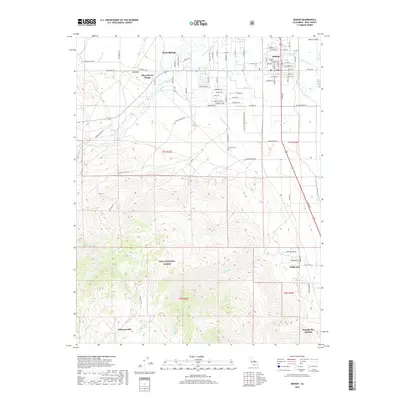
 1951 Bishop1951 Print · USGSOwens Valley thrives as an agricultural and mining center in the early fifties, mapped just before local shifts in water and rail. Trace the Southern Pacific line past Laws or locate the Southern Belle Mine and Keough Hot Springs.
 - 1957 Map of Mariposa, 1966 Print
 1957 Mariposa1966 Print · USGSThe High Sierra and Owens Valley appear in the mid-fifties, showing the intersection of conservation, hydroelectric power, and mountain industry. Genealogists and researchers can trace local landmarks like Yosemite Cemetery, the remote Kinsley Station, and the Pine Creek Mine.4 unique versions available
 - 1963 Map of Mariposa
 1963 Mariposa1963 Print · USGSThe High Sierra and Owens Valley meet in the early sixties, showing a landscape defined by gold-rush history and massive post-war water projects. Genealogists and researchers can trace old mining routes near Mariposa, locate the Glacier Point Hotel, and find small settlements like Coarse Gold or Knowles Junction.
 - 1978 Map of Bishop, 1994 Print
 1978 Bishop1994 Print · USGSThe Owens Valley and Eastern Sierra come alive in this late seventies study, documenting a landscape shaped by mining and high-altitude water storage. Local researchers can trace family names and industry at Pine Creek Mine, Scheelite, and Lucky Strike Mine.2 unique versions available
 - 1984 Map of Fish Slough
 1984 Fish Slough1984 Print · USGSThe Owens Valley area in the mid-1980s reveals a landscape shaped by both geology and irrigation. Researchers can trace the water network from Fish Slough to the Owens River, while locating sites like Brockmans Corner and the Bishop Paute Indian Res.2 unique versions available
 - 1984 Map of Bishop
 1984 Bishop1984 Print · USGSBishop and the Owens Valley floor are captured here in the mid-1980s, showcasing the intersection of high-desert industry and community life. Genealogists and historians can locate the Pioneer Cem, trace the waters of Keough Hot Springs, or find old mining sites like Chipmunk Mine.2 unique versions available
 - 1994 Map of Bishop, 1997 Print
 1994 Bishop1997 Print · USGSBishop and the Owens Valley floor are shown in the mid-1990s, revealing a landscape of high-desert settlement and mountain water management. Researchers can trace local landmarks like Keough Hot Springs, the Pioneer Cem, and the Yancy Mine.
 - 1994 Map of Fish Slough, 1997 Print
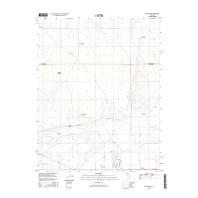
 1994 Fish Slough1997 Print · USGSThe northern edge of Bishop meets the high desert in the mid-1990s, revealing a landscape defined by Owens Valley water history. Trace the paths of the South McNally Canal, the Bishop Paiute Indian Res, and the springs of Fish Slough.
 - 2012 Map of Fish Slough, 2012 Print
 2012 Fish Slough2012 Print · USGSCovers Bishop, including Dixon Lane–Meadow Creek, West Bishop, and other nearby areas
 - 2012 Map of Bishop, 2012 Print
 2012 Bishop2012 Print · USGSCovers Bishop, including West Bishop, Wilkerson, and other nearby areas
 - 2015 Map of Bishop, 2015 Print
 2015 Bishop2015 Print · USGSCovers Bishop, including West Bishop, Wilkerson, and other nearby areas
 - 2015 Map of Fish Slough, 2015 Print
 2015 Fish Slough2015 Print · USGSCovers Bishop, including Dixon Lane–Meadow Creek, West Bishop, and other nearby areas
 - 2018 Map of Bishop, 2018 Print
 2018 Bishop2018 Print · USGSCovers Bishop, including West Bishop, Wilkerson, and other nearby areas
 - 2018 Map of Fish Slough, 2018 Print
 2018 Fish Slough2018 Print · USGSCovers Bishop, including Dixon Lane–Meadow Creek, West Bishop, and other nearby areas
 - 2021 Map of Fish Slough, 2021 Print
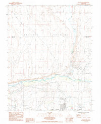
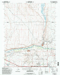
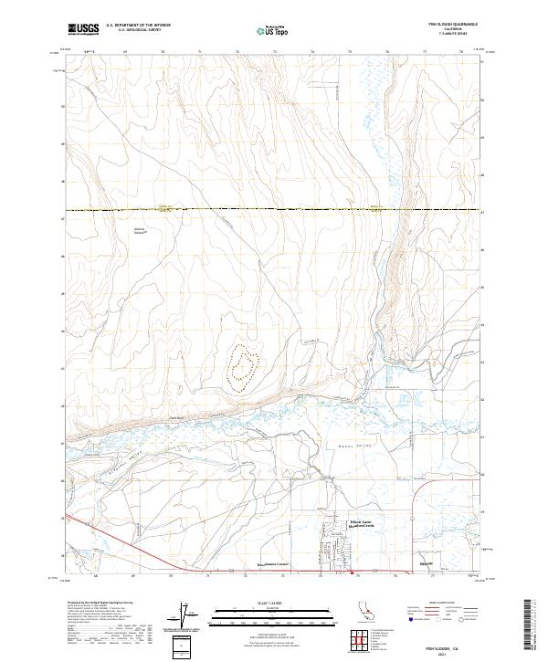 2021 Fish Slough2021 Print · USGSInyo County's water-managed valley floor and volcanic plateaus are captured here in the early 2020s. Researchers can trace the complex irrigation network of the S McNally Canal and Owens River Canal near Brockmans Corner.
 - 2021 Map of Bishop, 2021 Print
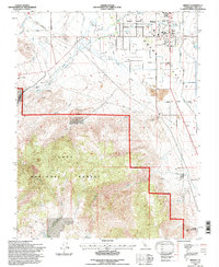
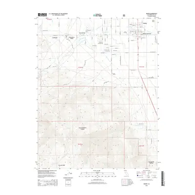
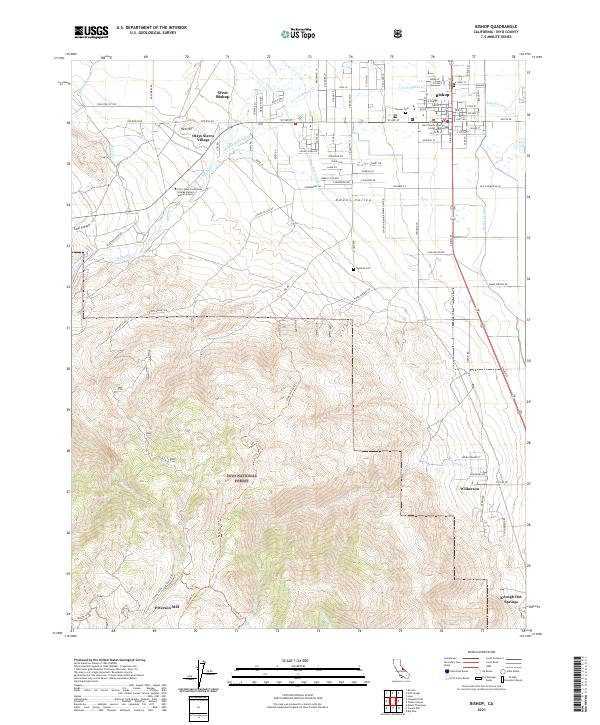 2021 Bishop2021 Print · USGSBishop and the surrounding high desert are captured here in the early 2020s as the town serves as a vital Owens Valley hub. Genealogists and historians can trace family locations from the Pioneer Cem to small settlements like Wilkerson and Oteys Sierra Village.
End of results
Showing maps 1-20 of 20
Top cities near Bishop
- Dixon Lane–Meadow Creek historical maps
- West Bishop historical maps
- Big Pine historical maps
- Chalfant Valley historical maps
- Wilkerson historical maps
- Round Valley historical maps
See more
Frequently asked questions
- What are the different types of historical maps available for Bishop?
- What is the oldest map of Bishop?
- Where can I purchase historical maps of Bishop for my home or office?
- Where can I download high-res historical maps of Bishop?
- Are there historical topographic maps available for Bishop?
- Is there historical aerial imagery available for Bishop?
- Where are historical maps of Bishop sourced from?