Old Maps of Coso, California for Hiking & Exploration
Hike through history with 17 historic maps of Coso. Explore old trails, ghost towns, and forgotten backroads — perfect for outdoor adventurers and local explorers.
- Rediscover forgotten places: Map out old mining camps, roads, and footpaths that no longer exist on modern maps.
- Layer with modern tools: Combine with LiDAR or satellite views to plan hikes through historical terrain.
- Made for exploration: Popular among hikers, overlanders, and local history lovers.
Use these maps to find adventure and explore the hidden past of Coso.
Coso, CA maps
(17)- 1908 Map of Ballarat
 1908 Ballarat1908 Print · USGSInyo County was a frontier of mining and survival in the early 1900s, where water and ore dictated the settlement patterns. Researchers can locate remote camps like Skidoo and Harrisburg, or trace the vital network of desert water at Stovepipe Wells and Warm Sulphur Spring.
 - 1913 Map of Ballarat
 1913 Ballarat1913 Print · USGSThe high desert of Inyo County is documented here during a period of intense mining and early water development. Genealogists and desert historians can trace the foundations of Ballarat, the Southern Pacific RR line, and active sites like Skidoo or the Cerro Gordo Mines.7 unique versions available
 - 1948 Map of Death Valley
 1948 Death Valley1948 Print · USGSIn the late 1940s, this desert frontier was defined by isolated mining camps and military restricted zones. Researchers can trace the routes between Furnace Creek Ranch and Rhyolite, or locate remote sites like the Modoc Mine and Ballarat.2 unique versions available
 - 1951 Map of Coso Peak, 1952 Print
 1951 Coso Peak1952 Print · USGSInyo County's high desert peaks and mining prospects are captured in the early fifties as the region transitioned toward military reservation use. Researchers can locate remote outposts like Junction Ranch, find mineral claims such as Silverspoon Mine, and trace water sources like Indian Gardens Spr.3 unique versions available
 - 1954 Map of Death Valley, 1966 Print
 1954 Death Valley1966 Print · USGSInyo County and the Nevada borderlands are shown during the mid-twentieth century as mining history met the atomic age. Researchers can trace the legacy of desert boomtowns and remote camps like Rhyolite, Darwin Mines, and the isolated Clay Camp.3 unique versions available
 - 1956 Map of Death Valley
 1956 Death Valley1956 Print · USGSInyo County and the Nevada borderlands appear in the mid-fifties as a rugged landscape of mining camps and military reservations. Genealogists and historians can trace the foundations of Furnace Creek Ranch, the desert roads to Ballarat, and active mining sites like the Lila C Mine.
 - 1957 Map of Death Valley
 1957 Death Valley1957 Print · USGSThe High Desert in the mid-fifties reveals a landscape of extreme elevations and deep-seated mining history, from the Panamint Range to the Amargosa River. Trace the remnants of the Tonopah & Tidewater RR and remote sites like Ballarat or the Skidoo Mine.
 - 1958 Map of Death Valley
 1958 Death Valley1958 Print · USGSThe High Desert and Death Valley during the mid-fifties reveal a stark landscape of mining camps and new military ranges. Historians can trace the lineage of remote outposts like Ballarat, the Skidoo Mine, and the historic Cerro Gordo Mine.
 - 1961 Map of Death Valley
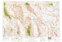 1961 Death Valley1961 Print · USGSDeath Valley and the Nevada borderlands are shown in the early sixties as a landscape of military testing and historic mining. Genealogists and researchers can locate remote settlements like Rhyolite, active operations at Darwin Mines, and cold-war sites such as the Nevada Proving Grounds.
 - 1964 Map of Death Valley
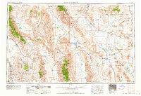 1964 Death Valley1964 Print · USGSThe California-Nevada borderlands are shown here in the mid-1960s, a landscape defined by extreme geography and strategic military testing. Researchers can locate remote mining sites like Skidoo Mines or trace the early tourist footprint at Stovepipe Wells Hotel.
 - 1965 Map of Death Valley
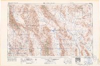 1965 Death Valley1965 Print · USGSThe California-Nevada borderlands are captured here in the mid-1960s, showing the high-desert transition from mining camps to military proving grounds. Researchers can locate remote settlements like Skidoo and Ballarat or trace the old Tonopah and Tidewater Railroad.
 - 1982 Map of Coso Peak, 1983 Print
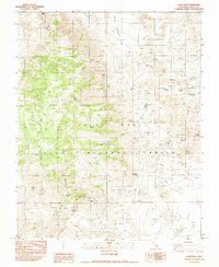 1982 Coso Peak1983 Print · USGSInyo County's high desert landscape is shown during the early 1980s, revealing a territory shifting from pioneer mining to modern military operations. Researchers can trace the historic Coso (Site), the remote Dead End Cabin, and the workings of the Josephine Mine.
 - 1985 Map of Darwin Hills
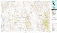 1985 Darwin Hills1985 Print · USGSInyo County's rugged mining districts and the eastern Sierra approach are captured here in the mid-1980s. Historians and researchers can trace the old Southern Pacific rail line, locate the Lookout City (Site), and find remote desert works like the Modoc Mine.2 unique versions available
 - 2012 Map of Coso Peak, 2012 Print
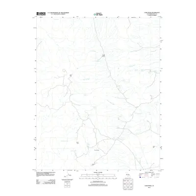 2012 Coso Peak2012 Print · USGSThe high desert of Inyo County remains a land of isolated peaks and vital water sources in this early twenty-first-century survey. Researchers can locate remote outposts like Dead End Cabin and trace the paths of China Gardens Wash and Crystal Canyon.
 - 2015 Map of Coso Peak, 2015 Print
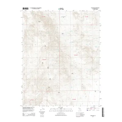 2015 Coso Peak2015 Print · USGSThe high desert of the Coso Range is captured here in the mid-2010s, showing a landscape defined by seasonal washes and vital springs. Researchers can trace the paths of China Gardens Wash or locate remote sites like Lost Cabin Spring and Indian Gardens Spring.
 - 2018 Map of Coso Peak, 2018 Print
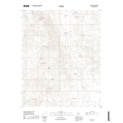 2018 Coso Peak2018 Print · USGSInyo County's high-desert peaks and hidden springs are documented here during the late 2010s. Trace old routes through Black Rock Canyon or locate historic water sources like Indian Gardens Spring and Lost Cabin Spring in the shadow of Coso Peak.
 - 2021 Map of Coso Peak, 2021 Print
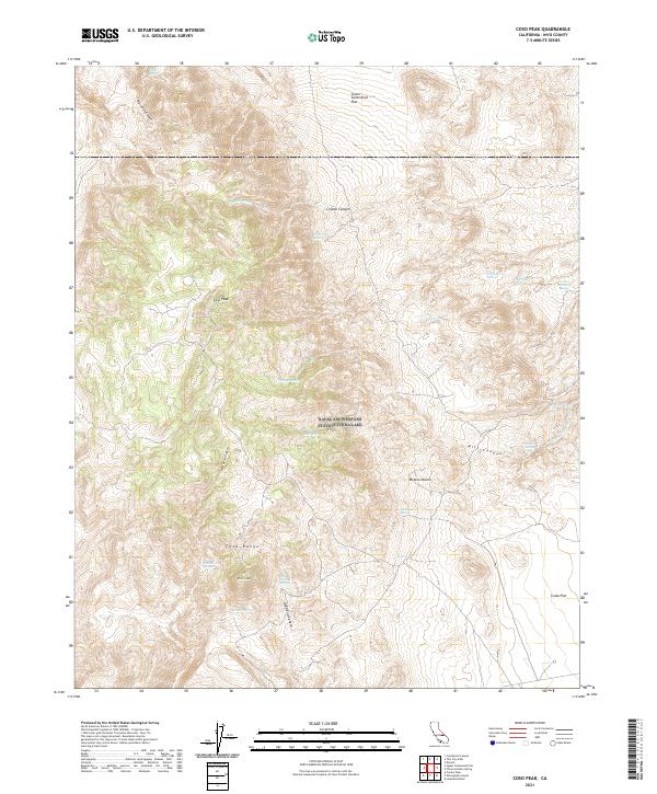 2021 Coso Peak2021 Print · USGSThe high desert of Inyo County is meticulously documented in this 2021 study, capturing a terrain defined by isolated springs and jagged peaks. Researchers can locate remote water sources like Lost Cabin Spring and Indian Gardens Spring or trace the drainage of Wild Horse Canyon.
End of results
Showing maps 1-17 of 17
Top cities near Coso
Frequently asked questions
- What are the different types of historical maps available for Coso?
- What is the oldest map of Coso?
- Where can I purchase historical maps of Coso for my home or office?
- Where can I download high-res historical maps of Coso?
- Are there historical topographic maps available for Coso?
- Is there historical aerial imagery available for Coso?
- Where are historical maps of Coso sourced from?