Old Maps of Death Valley Junction, California for Academic Research
Study the evolution of Death Valley Junction with 17 high-resolution historic maps. Whether you're teaching, researching, or modeling changes in land use, these maps provide essential visual documentation of urban, environmental, and geographic change.
- Analyze long-term change: Track patterns in development, transportation, and natural features.
- Ideal for environmental or urban studies: Support academic projects with primary historical map data.
- Use in the classroom or lab: Educators and researchers rely on these maps to bring historical context to life.
These maps are a powerful tool for teaching, research, and visualizing how Death Valley Junction has changed over the decades.
Death Valley Junction, CA maps
(17)- 1908 Map of Furnace Creek
 1908 Furnace Creek1908 Print · USGSThe California-Nevada borderlands hummed with mining activity in the early twentieth century as new rail lines reached into the desert. Genealogists and historians can trace pioneer outposts like Rhyolite, industrial sites like the Keane Wonder Mine, and the springs of Ash Meadows.
 - 1910 Map of Furnace Creek
 1910 Furnace Creek1910 Print · USGSThe Nevada and California borderlands thrive during a historic mining boom in this early twentieth-century survey. Researchers can trace the rise of desert settlements like Rhyolite and Gold Center or locate industrial sites such as the Keane Wonder Mine and Borax Mill.5 unique versions available
 - 1948 Map of Death Valley
 1948 Death Valley1948 Print · USGSIn the late 1940s, this desert frontier was defined by isolated mining camps and military restricted zones. Researchers can trace the routes between Furnace Creek Ranch and Rhyolite, or locate remote sites like the Modoc Mine and Ballarat.2 unique versions available
 - 1952 Map of Ash Meadows, 1953 Print
 1952 Ash Meadows1953 Print · USGSThe Nevada-California borderlands come alive in the early fifties, showing a desert landscape of remote ranches and defunct railroads. Trace the routes of the dismantled Death Valley Railroad and find long-gone sites like Hog Ranch and Franklin Well.4 unique versions available
 - 1954 Map of Death Valley, 1966 Print
 1954 Death Valley1966 Print · USGSInyo County and the Nevada borderlands are shown during the mid-twentieth century as mining history met the atomic age. Researchers can trace the legacy of desert boomtowns and remote camps like Rhyolite, Darwin Mines, and the isolated Clay Camp.3 unique versions available
 - 1956 Map of Death Valley
 1956 Death Valley1956 Print · USGSInyo County and the Nevada borderlands appear in the mid-fifties as a rugged landscape of mining camps and military reservations. Genealogists and historians can trace the foundations of Furnace Creek Ranch, the desert roads to Ballarat, and active mining sites like the Lila C Mine.
 - 1957 Map of Death Valley
 1957 Death Valley1957 Print · USGSThe High Desert in the mid-fifties reveals a landscape of extreme elevations and deep-seated mining history, from the Panamint Range to the Amargosa River. Trace the remnants of the Tonopah & Tidewater RR and remote sites like Ballarat or the Skidoo Mine.
 - 1958 Map of Death Valley
 1958 Death Valley1958 Print · USGSThe High Desert and Death Valley during the mid-fifties reveal a stark landscape of mining camps and new military ranges. Historians can trace the lineage of remote outposts like Ballarat, the Skidoo Mine, and the historic Cerro Gordo Mine.
 - 1961 Map of Death Valley
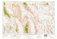 1961 Death Valley1961 Print · USGSDeath Valley and the Nevada borderlands are shown in the early sixties as a landscape of military testing and historic mining. Genealogists and researchers can locate remote settlements like Rhyolite, active operations at Darwin Mines, and cold-war sites such as the Nevada Proving Grounds.
 - 1964 Map of Death Valley
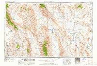 1964 Death Valley1964 Print · USGSThe California-Nevada borderlands are shown here in the mid-1960s, a landscape defined by extreme geography and strategic military testing. Researchers can locate remote mining sites like Skidoo Mines or trace the early tourist footprint at Stovepipe Wells Hotel.
 - 1965 Map of Death Valley
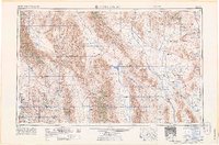 1965 Death Valley1965 Print · USGSThe California-Nevada borderlands are captured here in the mid-1960s, showing the high-desert transition from mining camps to military proving grounds. Researchers can locate remote settlements like Skidoo and Ballarat or trace the old Tonopah and Tidewater Railroad.
 - 1986 Map of Death Valley Junction
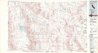 1986 Death Valley Junction1986 Print · USGSThe California-Nevada borderlands appear here in the mid-eighties, centered on the dramatic terrain of the Death Valley National Monument. Researchers can trace the path of the Tonopah and Tidewater Railroad (Abandoned) and locate remote outposts like Ryan and Bennetts Well.2 unique versions available
 - 1987 Map of Death Valley Junction
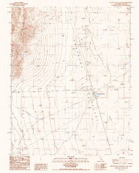 1987 Death Valley Junction1987 Print · USGSDeath Valley Junction and the surrounding California-Nevada borderlands are captured here in the late eighties. Researchers can trace the Old RR Grade through the Amargosa Desert or locate the Hog Ranch (Site) and the local Cem.
 - 2012 Map of Death Valley Junction, 2012 Print
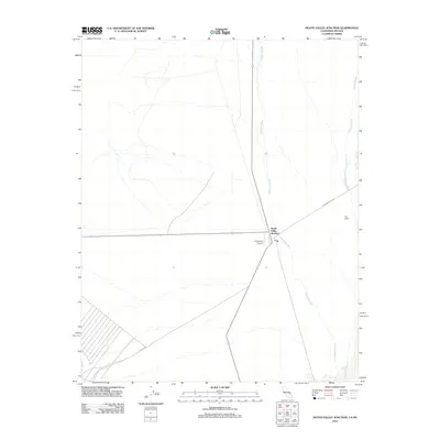 2012 Death Valley Junction2012 Print · USGSDeath Valley Junction at the start of the twenty-first century remains a vital crossroads in the high desert. Local researchers can trace the intersection of Ash Meadows Rd and the Amargosa River near Hog Ranch and the Amargosa Airport.
 - 2015 Map of Death Valley Junction, 2015 Print
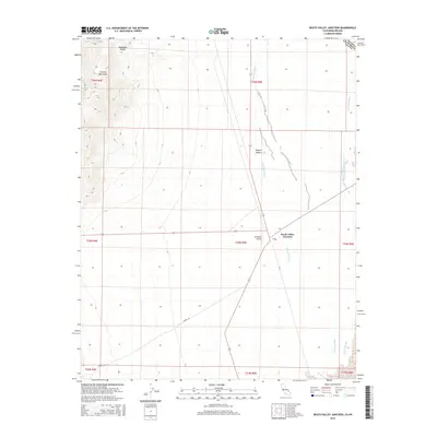 2015 Death Valley Junction2015 Print · USGSDeath Valley Junction stands as a remote desert crossroads at the California-Nevada border in the mid-2010s. Modern researchers can trace the landscape from the Amargosa Airport to the heights of the Funeral Mountains and the Amargosa River basin.
 - 2018 Map of Death Valley Junction, 2018 Print
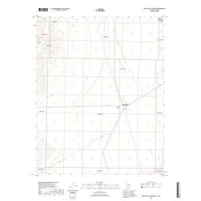 2018 Death Valley Junction2018 Print · USGSThe high desert borderlands near the California-Nevada line appear in this modern survey of the late 2010s. Trace the remote settlement at Death Valley Junction and its nearby Amargosa Airport, or follow the course of the Amargosa River past the Funeral Mountains.
 - 2021 Map of Death Valley Junction, 2021 Print
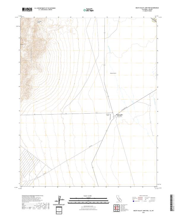 2021 Death Valley Junction2021 Print · USGSThe high desert of Inyo County comes into focus in the early 2020s at the historic crossroads of Death Valley Junction. Researchers can trace the drainage of the Amargosa River and locate remote landmarks like the Amargosa Airport and Bat Mtn.
End of results
Showing maps 1-17 of 17
Frequently asked questions
- What are the different types of historical maps available for Death Valley Junction?
- What is the oldest map of Death Valley Junction?
- Where can I purchase historical maps of Death Valley Junction for my home or office?
- Where can I download high-res historical maps of Death Valley Junction?
- Are there historical topographic maps available for Death Valley Junction?
- Is there historical aerial imagery available for Death Valley Junction?
- Where are historical maps of Death Valley Junction sourced from?