Old Maps of Deep Springs, California for Genealogy
Trace your family roots with 13 historic maps of Deep Springs. These high-res maps reveal old neighborhoods, homesites, landmarks, and streets — helping you uncover where your ancestors lived and how the area evolved over time.
- Explore historic neighborhoods: Identify where your relatives may have lived in the 1800s or 1900s.
- Compare maps over time: Trace the changes in streets, buildings, and landmarks for multi-generational research.
- Perfect for genealogy & ancestry research: Used by family historians and researchers to map out lineage and migration.
These maps are an incredible resource for exploring your personal connection to Deep Springs's past.
Deep Springs, CA maps
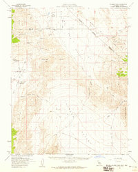
(13)- 1908 Map of Lida
 1908 Lida1908 Print · USGSEsmeralda County enters its mining peak at the start of the twentieth century as rail lines and boomtowns transform the high desert. Researchers can trace the exact layout of the Tonopah and Goldfield RR, find remote camps like Diamondfield, and locate the Rattlesnake Mine.
 - 1913 Map of Lida
 1913 Lida1913 Print · USGSThe Nevada and California borderlands appear here at the peak of the gold rush era, centered on the bustling streets of Goldfield. Genealogists and historians can trace the early rail networks of the Bullfrog Goldfield RR and locate camps like Gen Thomas Camp or the remote Palmetto Mine.5 unique versions available
 - 1954 Map of Goldfield, 1967 Print
 1954 Goldfield1967 Print · USGSThe Nevada desert during the early Cold War era shows the convergence of traditional mining districts and military expansion. Genealogists and historians can trace the Tonopah and Tidewater Railroad route and locate remote sites like Gold Point and Scottys Castle.3 unique versions available
 - 1955 Map of Goldfield
 1955 Goldfield1955 Print · USGSThe Nevada desert in the mid-fifties reveals a landscape of mining camps and military expansion. You can trace legacy sites from the Klondike Mine to Gold Point, and locate remote outposts like Bonnie Claire and Staininger Ranch at the edge of Death Valley.
 - 1958 Map of Goldfield
 1958 Goldfield1958 Print · USGSThe Nevada-California borderlands in the late fifties show a landscape defined by mining history and emerging military ranges. Researchers can trace old routes to Scotty's Castle, identify the locations of Numerous mines near Gold Point, and find Goldfield at its peak.2 unique versions available
 - 1958 Map of Soldier Pass, 1959 Print
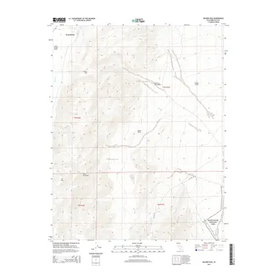
 1958 Soldier Pass1959 Print · USGSThe California-Nevada borderlands in the late fifties reveal a landscape of isolated mining outposts and high-desert basins. Researchers can trace the historic Von Schmidt Line, find the White Mtn City (Ruin), and locate remote operations like the Copper Queen Mine.2 unique versions available
 - 1962 Map of Goldfield
 1962 Goldfield1962 Print · USGSThe Nevada desert during the early sixties reveals a landscape of high-stakes military ranges and waning mining districts. Trace the path of the old railroad grade between Goldfield and Beatty, or locate the isolated sites of Gold Point and Lida.
 - 1985 Map of Last Chance Range
 1985 Last Chance Range1985 Print · USGSThe high deserts of the California-Nevada border come alive in the mid-eighties, showing a landscape shaped by remote mining and volcanic geology. Researchers can trace historic extraction routes at the Sylvania Mine, locate the iconic Scotty's Castle, or follow the Old Railroad Grade past Bonnie Claire.2 unique versions available
 - 1987 Map of Soldier Pass, 1988 Print
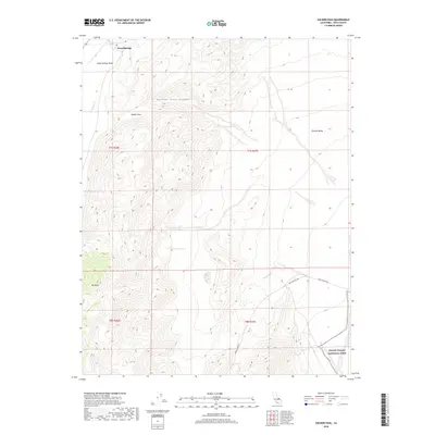
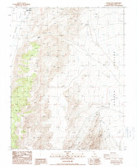 1987 Soldier Pass1988 Print · USGSInyo County's high desert was a landscape of remote mining and rugged trails in the 1980s. Geologists and history hunters can trace the paths of prospectors at the Loretto Mine, find several Prospects, and navigate the steep crossing at Soldier Pass.
 - 2012 Map of Soldier Pass, 2012 Print
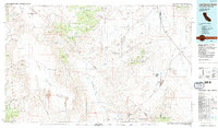
 2012 Soldier Pass2012 Print · USGSCovers Deep Springs, including Inyo County, United States, and other nearby areas
 - 2015 Map of Soldier Pass, 2015 Print
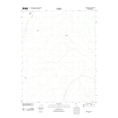
 2015 Soldier Pass2015 Print · USGSCovers Deep Springs, including Inyo County, United States, and other nearby areas
 - 2018 Map of Soldier Pass, 2018 Print
 2018 Soldier Pass2018 Print · USGSCovers Deep Springs, including Inyo County, United States, and other nearby areas
 - 2021 Map of Soldier Pass, 2021 Print
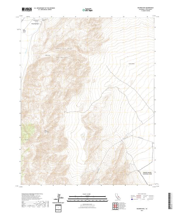 2021 Soldier Pass2021 Print · USGSIn the high desert of the Inyo Mountains during the early 2020s, this survey captures a remote landscape of extreme elevation changes and isolated outposts. Researchers can trace the grounds of Deep Springs College or locate the rugged path of Loretta Mine Rd as it enters Death Valley National Park.
End of results
Showing maps 1-13 of 13
Frequently asked questions
- What are the different types of historical maps available for Deep Springs?
- What is the oldest map of Deep Springs?
- Where can I purchase historical maps of Deep Springs for my home or office?
- Where can I download high-res historical maps of Deep Springs?
- Are there historical topographic maps available for Deep Springs?
- Is there historical aerial imagery available for Deep Springs?
- Where are historical maps of Deep Springs sourced from?