2000s (21st Century) Maps of Boron, California
Explore 8 historic maps of Boron from the 2000s (21st Century). These maps offer a rare glimpse into what life looked like during the 2000s — showing old roads, neighborhoods, homes, and landmarks that have changed or disappeared over time.
Whether you're researching your family's past, planning a metal detecting trip, or studying how Boron's landscape evolved across the 2000s, these high-resolution maps are a powerful tool for exploring the history of this region.
- Focus on a specific era: All maps on this page are from the 2000s, giving you a focused view of this time period.
- See what’s changed: Compare century-old streets, trails, and buildings to today's modern landscape using overlays and satellite layers.
- Research with precision: Use these maps for genealogy, historical research, land use analysis, or educational projects.
- View, download, or print: Maps are fully viewable online in high resolution, and can be downloaded or printed for your own records.
Start exploring Boron's history through authentic maps from the 2000s. This is your window into the past.
Boron, CA maps
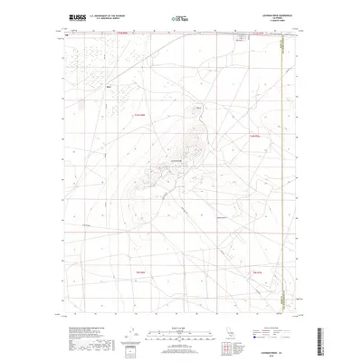
(8)- 2012 Map of Leuhman Ridge, 2012 Print
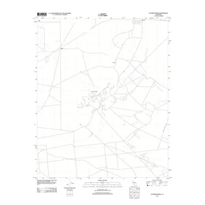 2012 Leuhman Ridge2012 Print · USGSCovers Boron, including San Bernardino County, Kern County, and other nearby areas
 - 2012 Map of Boron, 2012 Print
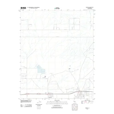 2012 Boron2012 Print · USGSCovers Boron, including Baker, Desert Lake, and other nearby areas
 - 2015 Map of Leuhman Ridge, 2015 Print
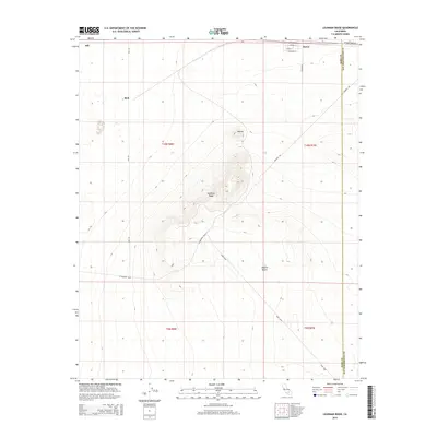 2015 Leuhman Ridge2015 Print · USGSCovers Boron, including San Bernardino County, Kern County, and other nearby areas
 - 2015 Map of Boron, 2015 Print
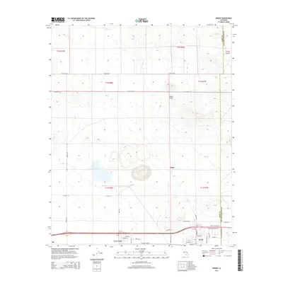 2015 Boron2015 Print · USGSCovers Boron, including Baker, Desert Lake, and other nearby areas
 - 2018 Map of Boron, 2018 Print
 2018 Boron2018 Print · USGSCovers Boron, including Baker, Desert Lake, and other nearby areas
 - 2018 Map of Leuhman Ridge, 2018 Print
 2018 Leuhman Ridge2018 Print · USGSCovers Boron, including San Bernardino County, Kern County, and other nearby areas
 - 2021 Map of Boron, 2021 Print
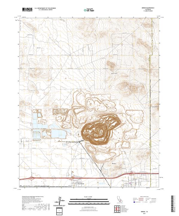 2021 Boron2021 Print · USGSThe high desert landscape of eastern Kern County is defined here by its deep mining history and the communities that support it. Genealogists and industrial historians can trace the streets of Boron and Desert Lake alongside landmarks like Twenty Mule Team Rd and Saddleback Mtn.
 - 2022 Map of Leuhman Ridge, 2022 Print
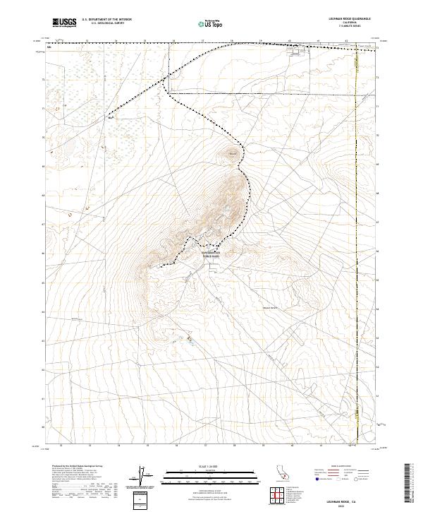 2022 Leuhman Ridge2022 Print · USGSKern County's desert landscape is captured here in the early 2020s, showing the intersection of historic mineral routes and modern aerospace-themed infrastructure. You can trace the path of the Twenty Mule Team Rd and find localized desert spots like Rich and Silt.
End of results
Showing maps 1-8 of 8
Top cities near Boron
Top neighborhoods of Boron
Frequently asked questions
- What are the different types of historical maps available for Boron?
- What is the oldest map of Boron?
- Where can I purchase historical maps of Boron for my home or office?
- Where can I download high-res historical maps of Boron?
- Are there historical topographic maps available for Boron?
- Is there historical aerial imagery available for Boron?
- Where are historical maps of Boron sourced from?