Old Maps of Pine Mountain Club, California
Explore 23 old maps of Pine Mountain Club, spanning from 1903 to today. These high-resolution historic maps reveal how streets, neighborhoods, landmarks, and natural features evolved over time — perfect for genealogy, metal detecting, research, and local history exploration.
What you can do with these maps:
- See how Pine Mountain Club changed over time: Compare historical maps to modern-day views to trace roads, homesites, rail lines & more.
- View detailed metadata: Each map includes creators, publishers, year, scale, and archive source.
- Overlay maps with satellite & LiDAR: Visualize the past alongside modern tools to explore terrain & human change.
- Trusted historical sources: Maps sourced from the USGS, Library of Congress, and other archives.
- Access maps your way: View online, download high-res files, or order prints for personal or research use.
Start exploring old maps of Pine Mountain Club to uncover forgotten places, hidden landmarks, and the deep history beneath your feet.
Pine Mountain Club, CA maps
(23)- 1903 Map of Mt. Pinos
 1903 Mt. Pinos1903 Print · USGSVentura and Kern counties at the start of the century remain largely a wild backcountry of forest reserves and high peaks. Genealogists and historians can trace early outposts like Pattiway, the high-altitude Frazier Borax Mine, and the Pine Mtn Lodge.7 unique versions available
 - 1943 Map of Sawmill Mountain, 1959 Print
 1943 Sawmill Mountain1959 Print · USGSHigh in the mountain borderlands of Ventura and Kern counties during the 1940s, this area shows a landscape of forest management and early recreation. Trace the sites of Camp Condor, the Lookout Tower on Mt Pinos, and the Ski Run near Cerro Noroeste.4 unique versions available
 - 1943 Map of Cuddy Valley, 1959 Print
 1943 Cuddy Valley1959 Print · USGSVentura and Kern counties meet in these high mountain valleys during the 1940s, showing a landscape of mining and summer camps. Researchers can locate the Stauffer post office, the Chuchupate Ranger Sta, and old workings like the Jewel Mine.6 unique versions available
 - 1944 Map of Sawmill Mountain
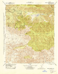 1944 Sawmill Mountain1944 Print · USGSThe Ventura and Kern county line runs across these high mountain ridges during the mid-1940s. Researchers can trace early forest infrastructure from Mt Pinos Lookout to local hubs like Camp Condor and Lockwood Valley.
 - 1944 Map of Cuddy Valley
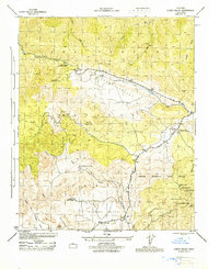 1944 Cuddy Valley1944 Print · USGSThe rugged boundary of Ventura and Kern counties is captured here during the 1940s, highlighting a landscape of resource extraction and early mountain tourism. Researchers can locate the Frazier Borax Mine, the Mt Pinos CCC Camp, and the settlement of Stauffer.2 unique versions available
 - 1949 Map of Los Angeles
 1949 Los Angeles1949 Print · USGSSouthern California and the South Coast appear at the onset of the post-war boom, from the Channel Islands to the Mojave Desert. Trace early aviation sites like Lockheed Air Terminal and mining history at the Redrock Quicksilver Mine and Redrover Mine.2 unique versions available
 - 1955 Map of Los Angeles
 1955 Los Angeles1955 Print · USGSThe mid-century transformation of Southern California comes into focus as the urban sprawl of Los Angeles meets the wilderness of the Santa Monica Mountains. Researchers can trace the development of post-war suburbs alongside historic landmarks like the Santa Barbara Lighthouse and early industrial sites such as the Good Luck Mine.
 - 1959 Map of Los Angeles
 1959 Los Angeles1959 Print · USGSCoastal California and the high desert met in a period of booming growth after the war. Researchers can trace early aviation and military history at the Point Mugu Air Missile Test Ctr or locate desert mining sites like the Double Eagle Mine.3 unique versions available
 - 1966 Map of Los Angeles
 1966 Los Angeles1966 Print · USGSSouthern California underwent a mid-century transformation as suburban grids reached the base of the San Gabriel Mountains. Researchers can trace the path of the Los Angeles Aqueduct or locate defense landmarks like Edwards Air Force Base.
 - 1975 Map of Los Angeles, 1977 Print
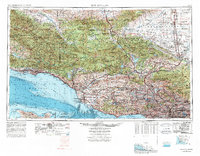 1975 Los Angeles1977 Print · USGSSouthern California is captured in a period of significant growth during the mid-seventies, showing the urban sprawl from the coast to the high desert. Researchers can trace the development of the Pacific Coast Hwy and find aerospace landmarks like Edwards Air Force Base and the Flight Test Center (NASA).2 unique versions available
 - 1981 Map of Cuyama
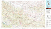 1981 Cuyama1981 Print · USGSThe high Cuyama Valley and the vast reaches of the Los Padres National Forest are captured here in the early eighties. Researchers can trace the San Andreas Rift Zone past New Cuyama or locate remote outposts like the Gibraltar Mine and Thorn Lookout.2 unique versions available
 - 1991 Map of Sawmill Mountain
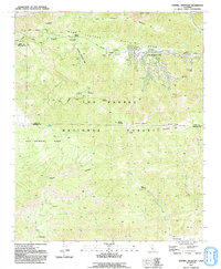 1991 Sawmill Mountain1991 Print · USGSThe high country of the Ventura and Kern county line is captured here in the early nineties, centered on the Pine Mountain Club community. Researchers can trace the massive San Andreas Rift Zone across the mountains or locate remote outposts like Sheep Camp and the Condor Observation Site.2 unique versions available
 - 1991 Map of Cuddy Valley
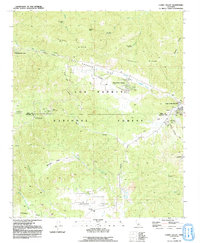 1991 Cuddy Valley1991 Print · USGSVentura and Kern counties meet along the geological fracture of the San Andreas Rift Zone during the late twentieth century. Researchers can trace the layout of mountain communities like Pinon Pines Estates or locate historical points like the Stauffer (Site) and Adobe.2 unique versions available
 - 1995 Map of Sawmill Mountain, 2000 Print
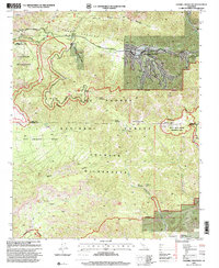 1995 Sawmill Mountain2000 Print · USGSVentura County's high-country terrain is captured in the mid-nineties, showing the developed Pine Mountain Club and the protected Chumash Wilderness. Genealogists and historians can trace the San Andreas Rift Zone and local landmarks like the Apache Saddle Fire Station.
 - 1995 Map of Cuddy Valley, 2000 Print
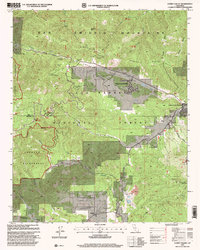 1995 Cuddy Valley2000 Print · USGSThe San Emigdio Mountains and Cuddy Valley are shown here in the 1990s, where mountain communities meet the Andreas Rift Zone. Trace the layout of Pine Mountain Club, find the Stauffer (Site), or explore old mining claims like the Good Luck Mine.
 - 2012 Map of Sawmill Mountain, 2012 Print
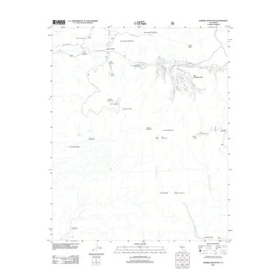 2012 Sawmill Mountain2012 Print · USGSThe San Emigdio Mountains in the early twenty-first century reveal a high-altitude community centered at Pine Mountain Club. Researchers can trace the area's recreational and residential footprint through landmarks like the Condor Observation Tower and Lilly Meadows.
 - 2012 Map of Cuddy Valley, 2012 Print
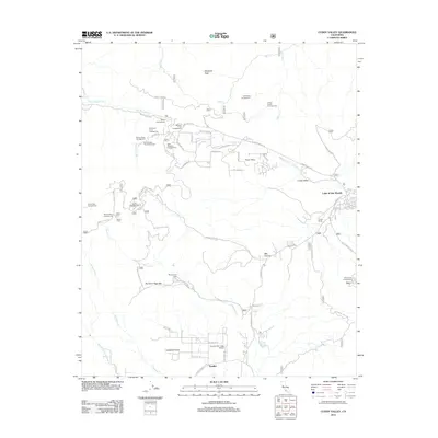 2012 Cuddy Valley2012 Print · USGSVentura County's high-country settlements and remote outposts are captured here during the early twenty-first century. Researchers can trace the legacy of regional aviation at Conover Air Lodge Airport or locate family campgrounds like Tecuya Campground and the San Emigdio Girl Scout Camp.
 - 2015 Map of Cuddy Valley, 2015 Print
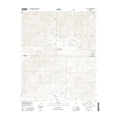 2015 Cuddy Valley2015 Print · USGSThe Ventura and Kern County border highlands are captured in the mid-2010s, centered on the dramatic rift of the San Andreas Fault. Genealogists and local historians can trace mountain settlements like Stauffer, Lockwood Valley, and the rural Conover Air Lodge-Airport.
 - 2015 Map of Sawmill Mountain, 2015 Print
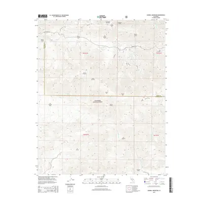 2015 Sawmill Mountain2015 Print · USGSThe high Transverse Ranges of Kern and Ventura counties appear here in the mid-2010s, centered on the dramatic intersection of the San Andreas Fault and the Los Padres peaks. Researchers can trace the steep geography of Mt Pinos and Sawmill Mtn or locate remote water sources like Lilly Meadows.
 - 2018 Map of Cuddy Valley, 2018 Print
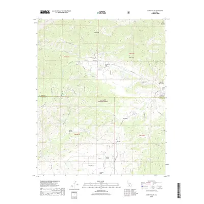 2018 Cuddy Valley2018 Print · USGSMountaintop communities and the dramatic trace of the San Andreas Fault define this part of the San Emigdio range in the late twenty-tens. Researchers can locate the mountain airstrip at Conover Air Lodge Airport and trace forest paths like Spruce Trl.
 - 2018 Map of Sawmill Mountain, 2018 Print
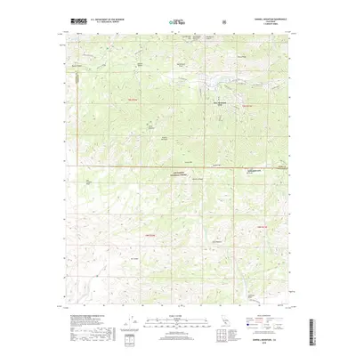 2018 Sawmill Mountain2018 Print · USGSPine Mountain Club and the high peaks of the Los Padres National Forest are documented in this late 2010s survey. Researchers can trace the path of the San Andreas Fault across the mountains or locate landmarks like Apache Saddle and Lilly Meadows.
 - 2022 Map of Cuddy Valley, 2022 Print
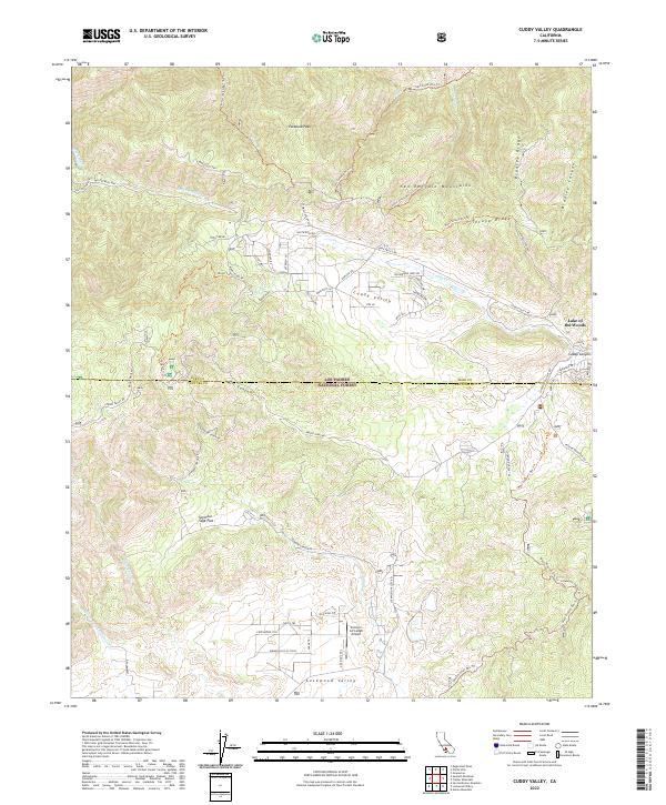 2022 Cuddy Valley2022 Print · USGSThe high mountains and valleys of the Kern and Ventura county line are captured here in the early 2020s. Researchers can locate the mountain airstrip at Conover Air Lodge Airport, the settlement of Lake of the Woods, and remote spots like Seymour Sage Flat.
 - 2022 Map of Sawmill Mountain, 2022 Print
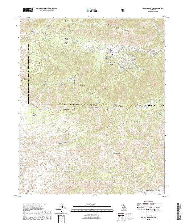 2022 Sawmill Mountain2022 Print · USGSHigh in the Ventura and Kern county mountains, this recent survey shows the alpine community and wilderness trails of the Los Padres National Forest. Trace the winding streets of Pine Mountain Club and the routes leading to peaks like Mt Pinos and San Emigdio Mtn.
End of results
Showing maps 1-23 of 23
Frequently asked questions
- What are the different types of historical maps available for Pine Mountain Club?
- What is the oldest map of Pine Mountain Club?
- Where can I purchase historical maps of Pine Mountain Club for my home or office?
- Where can I download high-res historical maps of Pine Mountain Club?
- Are there historical topographic maps available for Pine Mountain Club?
- Is there historical aerial imagery available for Pine Mountain Club?
- Where are historical maps of Pine Mountain Club sourced from?