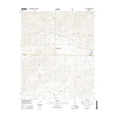
2015 Map of Cuddy Valley
USGS Topo · Published 2015About this map
Stauffer and the Lockwood Valley community anchor this 2015 study of the high-elevation terrain where the San Emigdio Mountains meet the Los Padres National Forest. The landscape is dominated by the prominent trace of the San Andreas Fault, which cuts northwest to southeast through Cuddy Valley. This geologically active corridor is bounded by Tecuya Ridge to the north and the expansive Seymour Sage Flat to the south. Human activity is concentrated along the intersection of Cuddy Valley Rd and Lockwood Valley Rd, serving remote mountain settlements like Lake of the Woods. Aviation history is noted by the Conover Air Lodge-Airport, while the drainage patterns of San Emigdio Cr, Cuddy Cr, and Middle Fork Lockwood Cr reveal the complex hydrology of these Ventura and Kern County highlands.
Find a feature on this map
43 named features on this map. Tap any name to fly to it.
Don’t see what you’re looking for? This feature index may not catch every label — zoom into the map to look around manually.
Map Details
Editions of this 2015 Cuddy Valley Map
This is the sole edition of this map. No revisions or reprints were ever made.
Other maps of this area

1903 · Mt. Pinos
USGS Topo · 1:125,000

1903 · Tejon
USGS Topo · 1:125,000

1942 · Eagle Rest Peak
USGS Topo · 1:24,000

1942 · Tecuya Creek
USGS Topo · 1:24,000

1942 · Frazier Mountain
USGS Topo · 1:24,000

1943 · San Guillermo
USGS Topo · 1:24,000

1943 · Sawmill Mountain
USGS Topo · 1:24,000

1943 · Cuddy Valley
USGS Topo · 1:24,000

1943 · Lockwood Valley
USGS Topo · 1:24,000
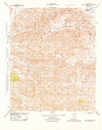
1944 · San Guillermo
USGS Topo · 1:31,680