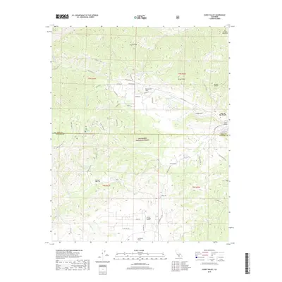
2018 Map of Cuddy Valley
USGS Topo · Published 2018About this map
The San Andreas Fault cuts directly through this mountain landscape, marking a clear geological boundary north of Cuddy Valley. This high-elevation region of the San Emigdio Mountains is characterized by its complex network of seasonal drainages and canyons, including Cuddy Cr and Mill Canyon. The map reveals a transition from the residential clusters at Lake of the Woods to the more open ranching and aviation lands of Lockwood Valley, where the Conover Air Lodge Airport is situated.
Find a feature on this map
52 named features on this map. Tap any name to fly to it.
Don’t see what you’re looking for? This feature index may not catch every label — zoom into the map to look around manually.
Map Details
Editions of this 2018 Cuddy Valley Map
This is the sole edition of this map. No revisions or reprints were ever made.
Other maps of this area

1903 · Mt. Pinos
USGS Topo · 1:125,000

1903 · Tejon
USGS Topo · 1:125,000

1942 · Eagle Rest Peak
USGS Topo · 1:24,000

1942 · Tecuya Creek
USGS Topo · 1:24,000

1942 · Frazier Mountain
USGS Topo · 1:24,000

1943 · San Guillermo
USGS Topo · 1:24,000

1943 · Sawmill Mountain
USGS Topo · 1:24,000

1943 · Cuddy Valley
USGS Topo · 1:24,000

1943 · Lockwood Valley
USGS Topo · 1:24,000
1944 · San Guillermo
USGS Topo · 1:31,680