Old Maps of Weedpatch, California for Genealogy
Trace your family roots with 26 historic maps of Weedpatch. These high-res maps reveal old neighborhoods, homesites, landmarks, and streets — helping you uncover where your ancestors lived and how the area evolved over time.
- Explore historic neighborhoods: Identify where your relatives may have lived in the 1800s or 1900s.
- Compare maps over time: Trace the changes in streets, buildings, and landmarks for multi-generational research.
- Perfect for genealogy & ancestry research: Used by family historians and researchers to map out lineage and migration.
These maps are an incredible resource for exploring your personal connection to Weedpatch's past.
Weedpatch, CA maps
(26)- 1914 Map of Caliente
 1914 Caliente1914 Print · USGSBakersfield and the southern Joaquin Valley are captured in the early nineteen-teens as the region's rail and oil industries expanded. Genealogists can trace family landmarks like the Tejon Ranch and Rio Bravo Ranch or locate vanished stops such as Woodford Keene P O and Cottonwood Station.7 unique versions available
 - 1929 Map of Fairfax School
 1929 Fairfax School1929 Print · USGSSoutheastern Bakersfield and the surrounding Kern County ranch lands are captured here in the late twenties, during a period of significant agricultural growth. Genealogists and local historians can trace rural school districts like Fairfax Sch and Mountain View Sch alongside the essential Kern Island Canal system.
 - 1930 Map of Weed Patch
 1930 Weed Patch1930 Print · USGSKern County farmland was rapidly expanding in the 1930s as irrigation networks transformed the valley floor. Genealogists and historians can trace the early layout of Weed Patch and the Vineland Sch along with the path of the Southern Pacific Railroad.
 - 1932 Map of Fairfax School
 1932 Fairfax School1932 Print · USGSKern County's agricultural heartland south of Bakersfield is captured here in the early 1930s as irrigation and railroads fueled the valley's growth. Genealogists and local historians can trace the foundations of Lamont or locate rural landmarks like Fairfax School and the Kern Island Canal.3 unique versions available
 - 1933 Map of Weed Patch
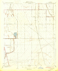 1933 Weed Patch1933 Print · USGSKern County farmland in the early 1930s is revealed here as a landscape of precision irrigation and new highways. Researchers can trace family-named sites and rural infrastructure like Vineland Sch, Teel Ranch, and the Adobe Canal.3 unique versions available
 - 1948 Map of Bakersfield
 1948 Bakersfield1948 Print · USGSBakersfield and the southern San Joaquin Valley appear in the late 1940s, showing a landscape of burgeoning oil towns, rail junctions, and early irrigation canals. Genealogists and historians can trace the foundations of local industry through Gardner Field, the Sunset Railway, and the shores of Buena Vista Lake.2 unique versions available
 - 1950 Map of Fairfax School
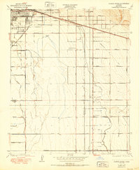 1950 Fairfax School1950 Print · USGSThe outskirts of Bakersfield and the surrounding Kern County farmland are captured here at the start of the 1950s. Genealogists and local historians can trace irrigation networks like the Weed Patch Canal and locate rural landmarks such as Fairfax School and the rail hub at Magunden.
 - 1954 Map of Lamont, 1955 Print
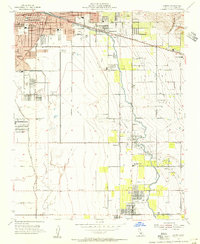 1954 Lamont1955 Print · USGSSoutheast of Bakersfield in the mid-fifties, this area reveals a landscape deeply shaped by petroleum and irrigation. Genealogists and historians can trace early neighborhood schools like Virginia Sch and Edison Sch or locate the industrial centers of Lamont and the Mountain View Oil Field.3 unique versions available
 - 1955 Map of Bakersfield
 1955 Bakersfield1955 Print · USGSThe southern San Joaquin Valley in the mid-fifties shows an era of massive oil production and industrial irrigation. Trace family roots in Allensworth, the oil fields of Oildale, or the shorelines of Tulare Lake and Buena Vista Lake.
 - 1955 Map of Weed Patch, 1956 Print
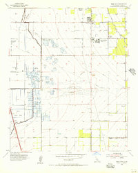 1955 Weed Patch1956 Print · USGSThe agricultural heart of Kern County comes alive in the mid-1950s, showing a landscape defined by irrigation and labor centers. Genealogists and local historians can trace the Arvin Farm Labor Supply Center, family ranching at Greenfield Ranch, and numerous unique sites like the Dust Bowl Duck Club.3 unique versions available
 - 1956 Map of Bakersfield
 1956 Bakersfield1956 Print · USGSThe southern San Joaquin Valley and High Sierra come alive in the mid-fifties, showing the region's complex agricultural and rail networks. Genealogists and historians can trace family roots in towns like Bakersfield, Taft, and Delano, or locate early infrastructure along the Sunset Railway.
 - 1960 Map of Bakersfield
 1960 Bakersfield1960 Print · USGSThe Southern San Joaquin Valley at mid-century reveals a complex landscape of petroleum development and massive irrigation projects. Researchers can trace the rail lines of the Southern Pacific, explore oil-era landmarks like Oil City, and locate early settlements including Allensworth and Pixley.2 unique versions available
 - 1962 Map of Bakersfield, 1969 Print
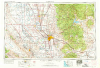 1962 Bakersfield1969 Print · USGSThe Southern San Joaquin Valley is shown in the 1960s as a bustling intersection of petroleum production, irrigation agriculture, and mountain recreation. Researchers can trace the rail lines of the Southern Pacific through the valley or locate early desert developments like California City and Tehachapi.4 unique versions available
 - 1966 Map of Bakersfield
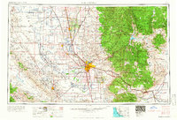 1966 Bakersfield1966 Print · USGSThe southern San Joaquin Valley in the mid-sixties reveals a massive industrial and agricultural landscape shaped by water and oil. Genealogists and historians can trace the growth of Bakersfield and Oildale, or locate remote airfields like Minter Field and Mojave-Kern County No. 7 Airport.
 - 1978 Map of Lamont, 1981 Print
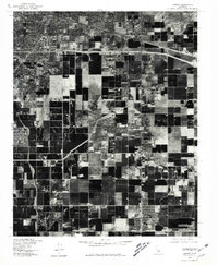 1978 Lamont1981 Print · USGSIn the late seventies, the San Joaquin Valley floor south of Bakersfield was a landscape defined by intensive agriculture and burgeoning industrial rail hubs. Genealogists and local historians can trace the development of Lamont, Fuller Acres, and the rail-side settlement of Magunden.
 - 1978 Map of Tehachapi, 1993 Print
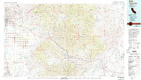 1978 Tehachapi1993 Print · USGSThe Kern County landscape in the late seventies reveals the transition from valley agriculture to high mountain passes. Trace the rail lines of the Southern Pacific and explore early settlements like Weed Patch, Loraine, and Edmundson Acres.
 - 1992 Map of Lamont, 1995 Print
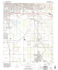 1992 Lamont1995 Print · USGSThe outskirts of Bakersfield and the surrounding San Joaquin Valley are captured here in the early nineties, showing a landscape defined by petroleum and irrigation. Researchers can trace the industrial footprints of Fuller Acres, the Union Cemetery, and the Kern Island Canal.
 - 1992 Map of Weed Patch, 1995 Print
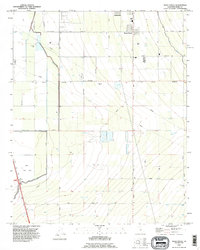 1992 Weed Patch1995 Print · USGSThe southern San Joaquin Valley comes into focus in the early nineties, showing the vital irrigation networks around Weed Patch and Lamont. Researchers can trace the path of the East Side Canal and locate landmarks like the Kern Lake Bed and the Airway Beacon.2 unique versions available
 - 2012 Map of Lamont, 2012 Print
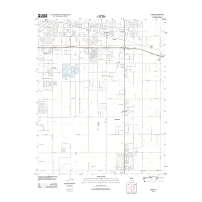 2012 Lamont2012 Print · USGSBakersfield's eastern outskirts in the early 2010s reveal a landscape defined by industrial dairies and complex canal systems. Researchers can trace the layout of small communities like Fuller Acres and Harpertown alongside regional hubs such as Bakersfield Municipal Airport.
 - 2012 Map of Weed Patch, 2012 Print
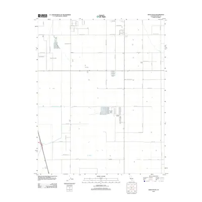 2012 Weed Patch2012 Print · USGSThe agricultural heart of the San Joaquin Valley is on display here in the early 2010s, showing a landscape shaped by large-scale dairy production. Researchers can trace land use across the Greenfield Ranch or locate private aviation hubs like Paradise Lakes Airport.
 - 2015 Map of Weed Patch, 2015 Print
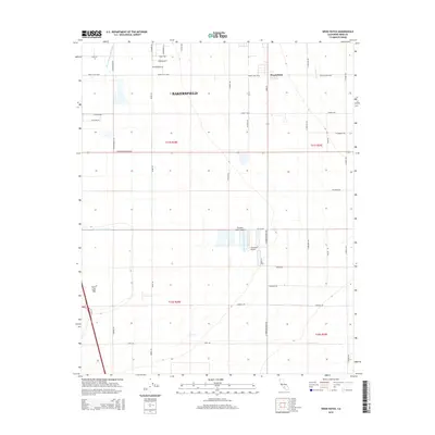 2015 Weed Patch2015 Print · USGSKern County's southern agricultural landscape is captured here in the mid-2010s, showing the intricate network of water management and rural aviation. Researchers can trace irrigation history through the Central Br Kern Island Canal and locate landmarks like Weed Patch or Paradise Lakes Airport.
 - 2015 Map of Lamont, 2015 Print
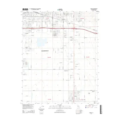 2015 Lamont2015 Print · USGSBakersfield and its outlying settlements are captured here in the mid-2010s, showing the dense intersection of agriculture and aviation in the southern valley. Researchers can trace local landmarks like Union Cem and the Bakersfield Municipal Airport alongside smaller locales like Lamont and Patch.
 - 2018 Map of Lamont, 2018 Print
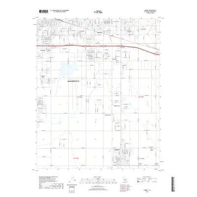 2018 Lamont2018 Print · USGSBakersfield and the southeastern San Joaquin Valley are shown here in the late twenty-tens, capturing the intersection of urban growth and irrigation history. Researchers can trace the layout of Lamont, Magunden, and the grounds of Union Cem.
 - 2018 Map of Weed Patch, 2018 Print
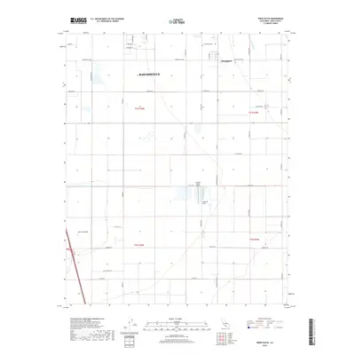 2018 Weed Patch2018 Print · USGSThe fertile southern San Joaquin Valley appears here in the late 2010s as a highly organized agricultural landscape. Researchers can trace the sophisticated water networks of the E Side Canal and find local landmarks such as Weedpatch and the expansive Kern Lake Bed.
 - 2021 Map of Lamont, 2021 Print
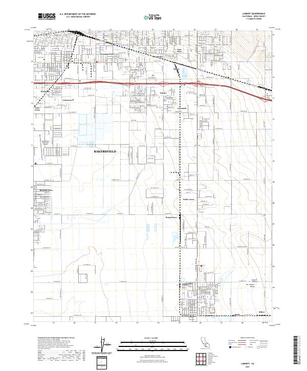 2021 Lamont2021 Print · USGSSoutheast Kern County and the Bakersfield outskirts are seen here in the early twenty-first century as agricultural industry meets suburban growth. Genealogists and local historians can trace the development of Lamont, locate the historic Union Cem, and study the canal systems of the San Joaquin Valley.
Showing maps 1-25 of 26
Top cities near Weedpatch
Frequently asked questions
- What are the different types of historical maps available for Weedpatch?
- What is the oldest map of Weedpatch?
- Where can I purchase historical maps of Weedpatch for my home or office?
- Where can I download high-res historical maps of Weedpatch?
- Are there historical topographic maps available for Weedpatch?
- Is there historical aerial imagery available for Weedpatch?
- Where are historical maps of Weedpatch sourced from?