Old Maps of Lincoln Crest, California for Hiking & Exploration
Hike through history with 17 historic maps of Lincoln Crest. Explore old trails, ghost towns, and forgotten backroads — perfect for outdoor adventurers and local explorers.
- Rediscover forgotten places: Map out old mining camps, roads, and footpaths that no longer exist on modern maps.
- Layer with modern tools: Combine with LiDAR or satellite views to plan hikes through historical terrain.
- Made for exploration: Popular among hikers, overlanders, and local history lovers.
Use these maps to find adventure and explore the hidden past of Lincoln Crest.
Lincoln Crest, CA maps
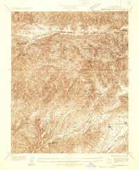
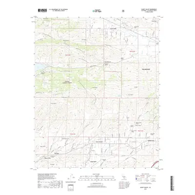
(17)- 1915 Map of Elizabeth Lake
 1915 Elizabeth Lake1915 Print · USGSAntelope Valley and the northern reaches of the San Gabriel mountains were transforming in the early twentieth century as major water and rail projects arrived. Genealogists can trace family homesteads such as St Anthony Ranch, old desert outposts like Willow Springs, and early mining sites including the Gray Eagle Mine.2 unique versions available
 - 1917 Map of Elizabeth Lake
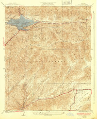
 1917 Elizabeth Lake1917 Print · USGSThe western Antelope Valley and Sierra Pelona appear here during a period of rapid hydraulic and rail expansion. Researchers can trace the original path of the Los Angeles Aqueduct and locate early landmarks like Willow Springs and the Antelope Valley Pumping Sta.6 unique versions available
 - 1932 Map of Mint Canyon
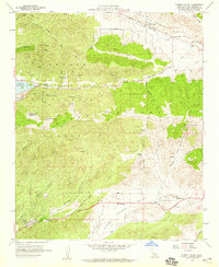
 1932 Mint Canyon1932 Print · USGSThe Sierra Pelona mountains in the early thirties were a landscape of new infrastructure and remote outposts. Trace the early canyon economy through Agua Dulce School, the Gray Eagle Mine, and the Bouquet Canyon Dam.
 - 1937 Map of Bouquet Reservoir
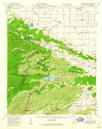
 1937 Bouquet Reservoir1937 Print · USGSThe Sierra Pelona mountains of the 1930s reveal a landscape of remote ranching and early highway development in the Angeles National Forest. Trace the location of the Silver King Mine, the Agua Dulce Sch, and legacy properties like Rancho Madera.3 unique versions available
 - 1949 Map of Los Angeles
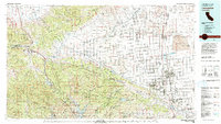
 1949 Los Angeles1949 Print · USGSSouthern California and the South Coast appear at the onset of the post-war boom, from the Channel Islands to the Mojave Desert. Trace early aviation sites like Lockheed Air Terminal and mining history at the Redrock Quicksilver Mine and Redrover Mine.2 unique versions available
 - 1955 Map of Los Angeles
 1955 Los Angeles1955 Print · USGSThe mid-century transformation of Southern California comes into focus as the urban sprawl of Los Angeles meets the wilderness of the Santa Monica Mountains. Researchers can trace the development of post-war suburbs alongside historic landmarks like the Santa Barbara Lighthouse and early industrial sites such as the Good Luck Mine.
 - 1958 Map of Sleepy Valley, 1959 Print
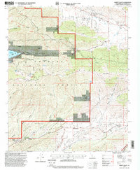
 1958 Sleepy Valley1959 Print · USGSThe Leona Valley and Sierra Pelona highlands were transitioning from remote ranchland to early residential pockets in the late fifties. Genealogists and historians can locate family landmarks like Ritter Ranch, the Leona School, and the historic Gray Eagle Mine.3 unique versions available
 - 1958 Map of Bouquet Reservoir, 1960 Print
 1958 Bouquet Reservoir1960 Print · USGSThe high desert and mountains of Los Angeles County appear here in the late fifties, showcasing a landscape defined by water infrastructure and rural ranching. Trace old family boundaries and landmarks like Eric Munz Ranch, the Gray Eagle Mine, and Del Sur School.2 unique versions available
 - 1959 Map of Los Angeles
 1959 Los Angeles1959 Print · USGSCoastal California and the high desert met in a period of booming growth after the war. Researchers can trace early aviation and military history at the Point Mugu Air Missile Test Ctr or locate desert mining sites like the Double Eagle Mine.3 unique versions available
 - 1966 Map of Los Angeles
 1966 Los Angeles1966 Print · USGSSouthern California underwent a mid-century transformation as suburban grids reached the base of the San Gabriel Mountains. Researchers can trace the path of the Los Angeles Aqueduct or locate defense landmarks like Edwards Air Force Base.
 - 1975 Map of Los Angeles, 1977 Print
 1975 Los Angeles1977 Print · USGSSouthern California is captured in a period of significant growth during the mid-seventies, showing the urban sprawl from the coast to the high desert. Researchers can trace the development of the Pacific Coast Hwy and find aerospace landmarks like Edwards Air Force Base and the Flight Test Center (NASA).2 unique versions available
 - 1981 Map of Lancaster, 1984 Print
 1981 Lancaster1984 Print · USGSThe high desert and mountain passes of northern Los Angeles County come alive in this early eighties survey. Researchers can trace the San Andreas Rift Zone past remote outposts like Gorman or locate the historic Golden Queen Mine near the Mojave edge.2 unique versions available
 - 1995 Map of Sleepy Valley, 1999 Print
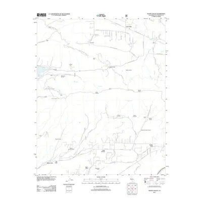
 1995 Sleepy Valley1999 Print · USGSThe northern Los Angeles backcountry is captured here in the mid-nineties, where the San Andreas fault meets the high forest. Researchers can trace historic ranch boundaries like Annan Ranch and old mining sites such as the Gray Eagle Mine Dump.
 - 2012 Map of Sleepy Valley, 2012 Print
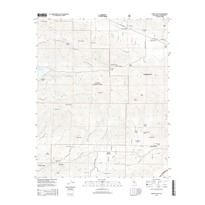
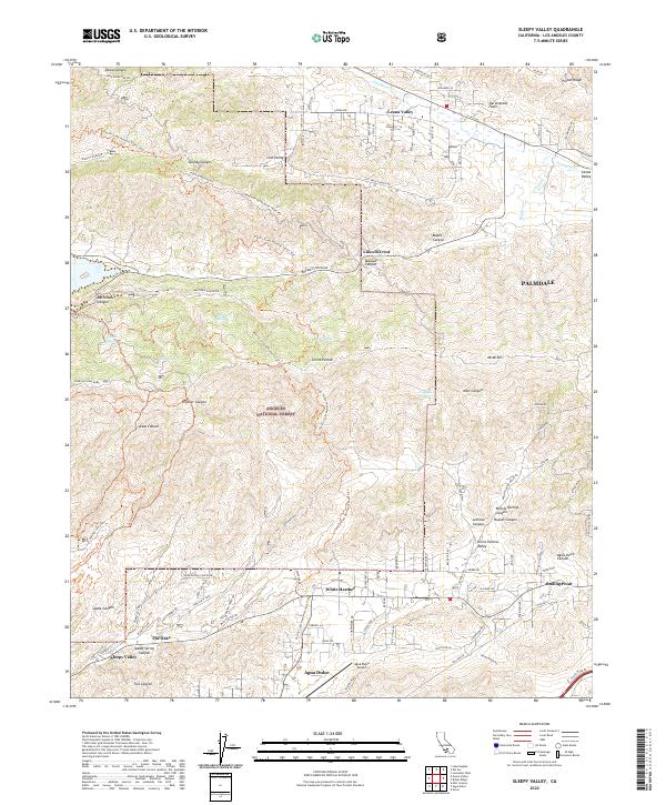
 2012 Sleepy Valley2012 Print · USGSCovers Lincoln Crest, including Palmdale, Leona Valley, and other nearby areas
 - 2015 Map of Sleepy Valley, 2015 Print
 2015 Sleepy Valley2015 Print · USGSCovers Lincoln Crest, including Palmdale, Leona Valley, and other nearby areas
 - 2018 Map of Sleepy Valley, 2018 Print
 2018 Sleepy Valley2018 Print · USGSCovers Lincoln Crest, including Palmdale, Leona Valley, and other nearby areas
 - 2022 Map of Sleepy Valley, 2022 Print
 2022 Sleepy Valley2022 Print · USGSHigh desert communities and mountain ridges come into focus in this recent survey of the area north of Los Angeles. Researchers can trace the Pacific Crest National Scenic Trail through the Angeles National Forest or locate rural developments at Leona Valley, White Heather, and Sleepy Valley.
End of results
Showing maps 1-17 of 17
Top cities near Lincoln Crest
- Santa Clarita historical maps
- Palmdale historical maps
- Lancaster historical maps
- Antelope Acres historical maps
Frequently asked questions
- What are the different types of historical maps available for Lincoln Crest?
- What is the oldest map of Lincoln Crest?
- Where can I purchase historical maps of Lincoln Crest for my home or office?
- Where can I download high-res historical maps of Lincoln Crest?
- Are there historical topographic maps available for Lincoln Crest?
- Is there historical aerial imagery available for Lincoln Crest?
- Where are historical maps of Lincoln Crest sourced from?