Old Maps of Northridge, Los Angeles for Academic Research
Study the evolution of Northridge with 19 high-resolution historic maps. Whether you're teaching, researching, or modeling changes in land use, these maps provide essential visual documentation of urban, environmental, and geographic change.
- Analyze long-term change: Track patterns in development, transportation, and natural features.
- Ideal for environmental or urban studies: Support academic projects with primary historical map data.
- Use in the classroom or lab: Educators and researchers rely on these maps to bring historical context to life.
These maps are a powerful tool for teaching, research, and visualizing how Northridge has changed over the decades.
Northridge, Los Angeles maps
(19)- 1903 Map of Calabasas
 1903 Calabasas1903 Print · USGSThe northern reaches of the Santa Monica Mountains and the western San Fernando Valley are shown here at the turn of the century. Genealogists and historians can trace early ranch boundaries like Encino and Las Virgenes, or locate the original sites of Grape Arbor and the Chatsworth Park Branch railroad.8 unique versions available
 - 1903 Map of Camulos
 1903 Camulos1903 Print · USGSSouthern California at the dawn of the twentieth century shows a landscape of ranchos and early rail towns. Trace the old routes through Simi and Camulos, or locate vanished stops like Ternez Siding and the coastal piers at Port Los Angeles.5 unique versions available
 - 1928 Map of Zelzah
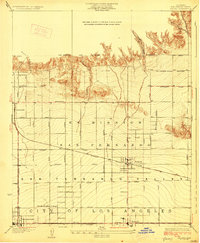 1928 Zelzah1928 Print · USGSThe San Fernando Valley was transitioning from vast ranchos to specialized farming and suburban tracts in the late 1920s. Trace the early rail-connected settlements of Zelzah and Owensmouth alongside the unique Weeks Poultry Colony.
 - 1929 Map of Zelzah
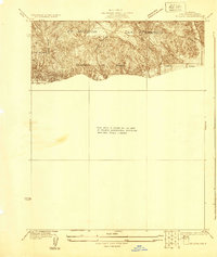 1929 Zelzah1929 Print · USGSThe northern San Fernando Valley is shown here just before the era of major suburban density, when deep canyons still dominated the landscape. Genealogists and hikers can trace the early layout of Twin Lakes Park and the original path of Rinaldi Street.
 - 1932 Map of Zelzah
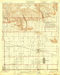 1932 Zelzah1932 Print · USGSThe San Fernando Valley is seen here during its agricultural peak in the early thirties, just as early poultry colonies were defining the local economy. Genealogists and historians can trace the foundations of Canoga Park and Reseda, alongside unique sites like the Runnymede Poultry Colony.
 - 1941 Map of Zelzah
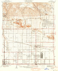 1941 Zelzah1941 Print · USGSThe San Fernando Valley is seen here in a pivotal pre-war era of agricultural colonies and early suburban plats. Researchers can trace the layout of the Runnymede Poultry Colony, the transition at Zelzah Northridge PO and Sta, and legacy holdings like Marwyck Ranch.2 unique versions available
 - 1944 Map of Calabasas
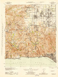 1944 Calabasas1944 Print · USGSMid-century Los Angeles County unfolds here, showing the grid of the San Fernando Valley meeting the Santa Monica Mountains. Trace old ranch boundaries at Platt Ranch or locate early landmarks like the Will Rogers Memorial and Topanga Lookout.
 - 1949 Map of Los Angeles
 1949 Los Angeles1949 Print · USGSSouthern California and the South Coast appear at the onset of the post-war boom, from the Channel Islands to the Mojave Desert. Trace early aviation sites like Lockheed Air Terminal and mining history at the Redrock Quicksilver Mine and Redrover Mine.2 unique versions available
 - 1952 Map of Canoga Park, 1954 Print
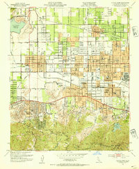 1952 Canoga Park1954 Print · USGSThe San Fernando Valley is shown during its post-war growth, transitioning from citrus groves and ranches to a bustling suburban grid. Genealogists and historians can locate dozens of mid-century schools, the Southern Pacific line, and sites like the RKO Ranch.7 unique versions available
 - 1955 Map of Los Angeles
 1955 Los Angeles1955 Print · USGSThe mid-century transformation of Southern California comes into focus as the urban sprawl of Los Angeles meets the wilderness of the Santa Monica Mountains. Researchers can trace the development of post-war suburbs alongside historic landmarks like the Santa Barbara Lighthouse and early industrial sites such as the Good Luck Mine.
 - 1959 Map of Los Angeles
 1959 Los Angeles1959 Print · USGSCoastal California and the high desert met in a period of booming growth after the war. Researchers can trace early aviation and military history at the Point Mugu Air Missile Test Ctr or locate desert mining sites like the Double Eagle Mine.3 unique versions available
 - 1966 Map of Los Angeles
 1966 Los Angeles1966 Print · USGSSouthern California underwent a mid-century transformation as suburban grids reached the base of the San Gabriel Mountains. Researchers can trace the path of the Los Angeles Aqueduct or locate defense landmarks like Edwards Air Force Base.
 - 1975 Map of Los Angeles, 1977 Print
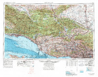 1975 Los Angeles1977 Print · USGSSouthern California is captured in a period of significant growth during the mid-seventies, showing the urban sprawl from the coast to the high desert. Researchers can trace the development of the Pacific Coast Hwy and find aerospace landmarks like Edwards Air Force Base and the Flight Test Center (NASA).2 unique versions available
 - 1976 Map of Canoga Park, 1977 Print
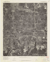 1976 Canoga Park1977 Print · USGSCovers Northridge, including Los Angeles, Calabasas, and other nearby areas2 unique versions available
 - 1979 Map of Los Angeles
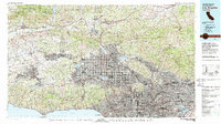 1979 Los Angeles1979 Print · USGSSouthern California at the close of the 1970s reveals a sprawling network of suburban growth and massive infrastructure projects. Researchers can trace established rail lines like the Southern Pacific alongside newer settlements and landmarks like Virginia Colony and Griffith Park.
 - 2012 Map of Canoga Park, 2012 Print
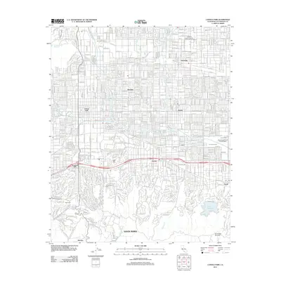 2012 Canoga Park2012 Print · USGSThe San Fernando Valley is shown here in the early twenty-first century, revealing the dense suburban evolution from Northridge to Encino. Local historians can trace the transition from ranch lands like Miller Ranch to institutional landmarks such as the California State University Northridge Campus.
 - 2015 Map of Canoga Park, 2015 Print
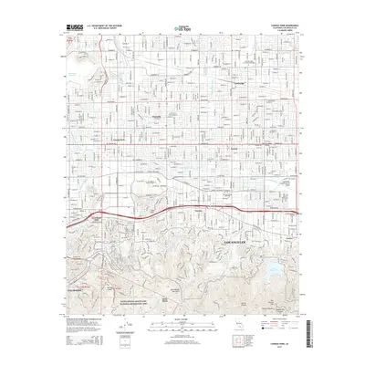 2015 Canoga Park2015 Print · USGSThe San Fernando Valley is shown here in the mid-2010s, capturing the dense residential and academic fabric of Los Angeles. Researchers can trace the path of the Los Angeles River and locate landmarks like California State University-Northridge and Los Angeles Pierce College.
 - 2018 Map of Canoga Park, 2018 Print
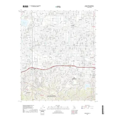 2018 Canoga Park2018 Print · USGSThe San Fernando Valley meets the Santa Monica Mountains in this detailed study of late twenty-first-century Los Angeles. Researchers can trace urban development around CSU Northridge or explore the preserved canyons of the Santa Monica Mountains.
 - 2022 Map of Canoga Park, 2022 Print
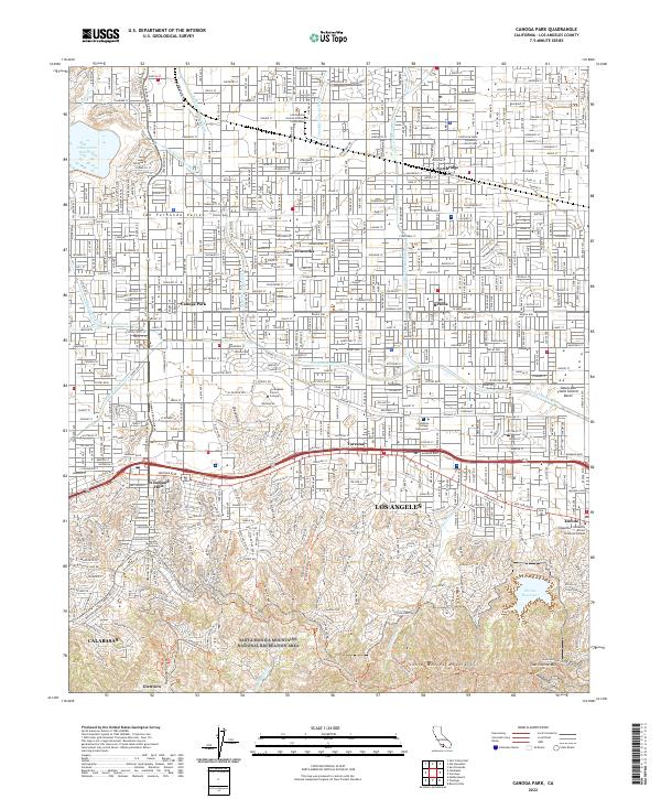 2022 Canoga Park2022 Print · USGSThe San Fernando Valley meets the northern ridgeline of the Santa Monica Mountains in this modern survey. Local historians can trace the suburban development of Northridge and Tarzana alongside landmarks like Los Angeles Pierce College.
End of results
Showing maps 1-19 of 19
Frequently asked questions
- What are the different types of historical maps available for Northridge?
- What is the oldest map of Northridge?
- Where can I purchase historical maps of Northridge for my home or office?
- Where can I download high-res historical maps of Northridge?
- Are there historical topographic maps available for Northridge?
- Is there historical aerial imagery available for Northridge?
- Where are historical maps of Northridge sourced from?