2000s (21st Century) Maps of Otterbein, California
Explore 4 historic maps of Otterbein from the 2000s (21st Century). These maps offer a rare glimpse into what life looked like during the 2000s — showing old roads, neighborhoods, homes, and landmarks that have changed or disappeared over time.
Whether you're researching your family's past, planning a metal detecting trip, or studying how Otterbein's landscape evolved across the 2000s, these high-resolution maps are a powerful tool for exploring the history of this region.
- Focus on a specific era: All maps on this page are from the 2000s, giving you a focused view of this time period.
- See what’s changed: Compare century-old streets, trails, and buildings to today's modern landscape using overlays and satellite layers.
- Research with precision: Use these maps for genealogy, historical research, land use analysis, or educational projects.
- View, download, or print: Maps are fully viewable online in high resolution, and can be downloaded or printed for your own records.
Start exploring Otterbein's history through authentic maps from the 2000s. This is your window into the past.
Otterbein, CA maps
(4)- 2012 Map of La Habra, 2012 Print
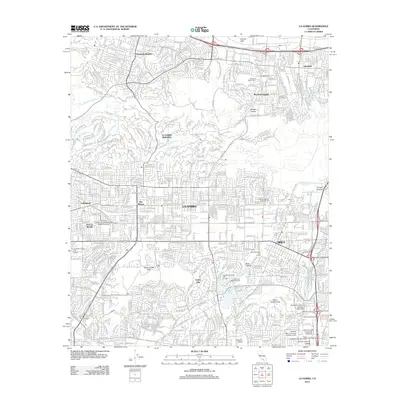 2012 La Habra2012 Print · USGSCovers Otterbein, including Fullerton, Whittier, and other nearby areas
 - 2015 Map of La Habra, 2015 Print
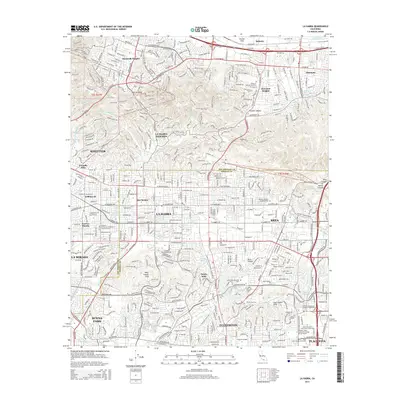 2015 La Habra2015 Print · USGSCovers Otterbein, including Fullerton, Whittier, and other nearby areas
 - 2018 Map of La Habra, 2018 Print
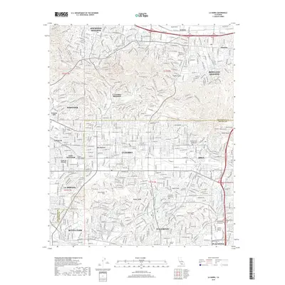 2018 La Habra2018 Print · USGSCovers Otterbein, including Fullerton, Whittier, and other nearby areas
 - 2022 Map of La Habra, 2022 Print
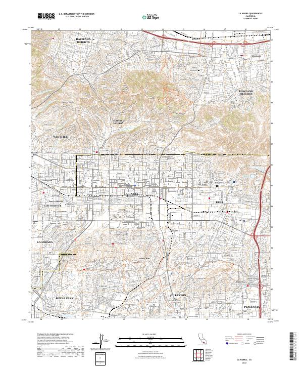 2022 La Habra2022 Print · USGSThe Orange and Los Angeles County line in the early 2020s shows a landscape of established suburban centers nestled against the Puente Hills. Researchers can locate institutional sites like Hope International University and trace recreational paths through Powder Canyon.
End of results
Showing maps 1-4 of 4
Top cities near Otterbein
- Long Beach historical maps
- Anaheim historical maps
- Santa Ana historical maps
- Irvine historical maps
- Ontario historical maps
- Garden Grove historical maps
See more
Frequently asked questions
- What are the different types of historical maps available for Otterbein?
- What is the oldest map of Otterbein?
- Where can I purchase historical maps of Otterbein for my home or office?
- Where can I download high-res historical maps of Otterbein?
- Are there historical topographic maps available for Otterbein?
- Is there historical aerial imagery available for Otterbein?
- Where are historical maps of Otterbein sourced from?