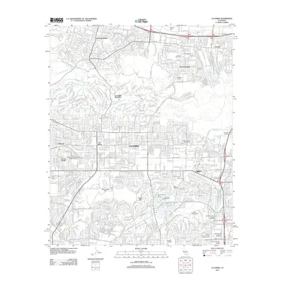
2012 Map of La Habra
USGS Topo · Published 2012About this map
Grazide Ranch sits at the foot of the Puente Hills, illustrating the agricultural legacy that once defined this portion of the Los Angeles Basin. By the early 21st century, the landscape shows a transition into dense residential communities like Hacienda Heights and Rowland Heights, though substantial open space remains preserved in Powder Canyon and Brea Canyon. This survey captures the region as a major educational and civic hub, evidenced by the sprawling campus of California State University - Fullerton and the Fullerton Arboretum at its southern edge.
Find a feature on this map
63 named features on this map. Tap any name to fly to it.
Don’t see what you’re looking for? This feature index may not catch every label — zoom into the map to look around manually.
Map Details
Editions of this 2012 La Habra Map
This is the sole edition of this map. No revisions or reprints were ever made.
Other maps of this area

1894 · Los Angeles
USGS Topo · 1:62,500

1894 · Pomona
USGS Topo · 1:62,500

1896 · Pasadena
USGS Topo · 1:62,500

1896 · Anaheim
USGS Topo · 1:62,500

1896 · Downey
USGS Topo · 1:62,500

1897 · Pomona
USGS Topo · 1:62,500

1898 · Pomona
USGS Topo · 1:62,500

1898 · Anaheim
USGS Topo · 1:62,500

1899 · Downey
USGS Topo · 1:62,500

1900 · Pasadena
USGS Topo · 1:62,500