Old Maps of Russ, California for Academic Research
Study the evolution of Russ with 19 high-resolution historic maps. Whether you're teaching, researching, or modeling changes in land use, these maps provide essential visual documentation of urban, environmental, and geographic change.
- Analyze long-term change: Track patterns in development, transportation, and natural features.
- Ideal for environmental or urban studies: Support academic projects with primary historical map data.
- Use in the classroom or lab: Educators and researchers rely on these maps to bring historical context to life.
These maps are a powerful tool for teaching, research, and visualizing how Russ has changed over the decades.
Russ, CA maps
(19)- 1900 Map of Fernando
 1900 Fernando1900 Print · USGSThe San Fernando Valley and San Gabriel mountains appear here in the final years of the nineteenth century, showing the early town site of Fernando and the San Fernando Mission. Genealogists and historians can trace the Southern Pacific RR through Soledad Canyon or locate early settlements like Lang and Honby.6 unique versions available
 - 1901 Map of Southern California Sheet No. 1
 1901 Southern California Sheet No. 11901 Print · USGSGreater Los Angeles at the dawn of the twentieth century is a landscape of growing citrus towns and a burgeoning rail network. Genealogists and historians can trace the early gridded streets of Hollywood and Pasadena or locate landmarks like Bear Lake and the Cahuilla Indian Reservation.6 unique versions available
 - 1904 Map of Southern California Sheet No. 1, 1905 Print
 1904 Southern California Sheet No. 11905 Print · USGSSouthern California at the dawn of the twentieth century shows a landscape of citrus groves and coastal towns connected by rail. Genealogists and historians can trace early settlements like San Juan Capistrano, find remote sites like the Rose Mine, and study the original water systems of the Santa Ana River.2 unique versions available
 - 1929 Map of Lang
 1929 Lang1929 Print · USGSThe Soledad Canyon corridor comes to life in the late 1920s as a hub of mining and ranching. Researchers can trace the Southern Pacific line past Lang to find the Borax Mine, Soledad Sulphur Springs, and Vasquez Rock.
 - 1933 Map of Lang
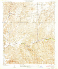 1933 Lang1933 Print · USGSUpper Los Angeles County in the early thirties centers on the vital rail and road corridors through the Santa Clarita Valley. Genealogists and historians can trace the footprint of early mountain life at Sunny Slope Ranch, the rail stop at Lang, and the Champion Mine.3 unique versions available
 - 1940 Map of San Fernando, 1955 Print
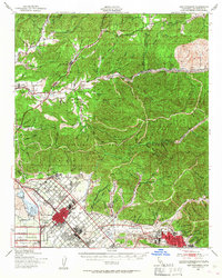 1940 San Fernando1955 Print · USGSThe northern Los Angeles basin is shown here just before the postwar housing boom, as the valley floor transitioned from rural estates to suburban centers. Genealogists can trace family footprints near the San Fernando Mission or follow the rail lines through Solemint and Sylmar.2 unique versions available
 - 1945 Map of San Fernando
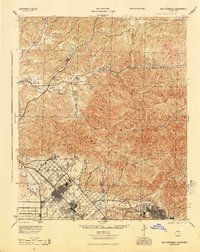 1945 San Fernando1945 Print · USGSThe northern reaches of Los Angeles County appear in the mid-1940s, just as suburban growth began to meet the steep canyon walls. Researchers can trace the path of the Southern Pacific through the mountain passes or locate landmarks like the San Fernando Mission and Sunland.
 - 1949 Map of Los Angeles
 1949 Los Angeles1949 Print · USGSSouthern California and the South Coast appear at the onset of the post-war boom, from the Channel Islands to the Mojave Desert. Trace early aviation sites like Lockheed Air Terminal and mining history at the Redrock Quicksilver Mine and Redrover Mine.2 unique versions available
 - 1955 Map of Los Angeles
 1955 Los Angeles1955 Print · USGSThe mid-century transformation of Southern California comes into focus as the urban sprawl of Los Angeles meets the wilderness of the Santa Monica Mountains. Researchers can trace the development of post-war suburbs alongside historic landmarks like the Santa Barbara Lighthouse and early industrial sites such as the Good Luck Mine.
 - 1959 Map of Los Angeles
 1959 Los Angeles1959 Print · USGSCoastal California and the high desert met in a period of booming growth after the war. Researchers can trace early aviation and military history at the Point Mugu Air Missile Test Ctr or locate desert mining sites like the Double Eagle Mine.3 unique versions available
 - 1960 Map of Agua Dulce, 1961 Print
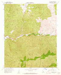 1960 Agua Dulce1961 Print · USGSAgua Dulce and the Sierra Pelona mountains are captured here in the early sixties as the Southern California backcountry remained largely rural. Local historians can trace the Southern Pacific line through Russ and Lang, and locate landmarks like Vasquez Rocks and Magic Mtn.7 unique versions available
 - 1966 Map of Los Angeles
 1966 Los Angeles1966 Print · USGSSouthern California underwent a mid-century transformation as suburban grids reached the base of the San Gabriel Mountains. Researchers can trace the path of the Los Angeles Aqueduct or locate defense landmarks like Edwards Air Force Base.
 - 1975 Map of Los Angeles, 1977 Print
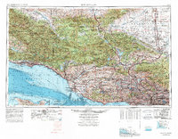 1975 Los Angeles1977 Print · USGSSouthern California is captured in a period of significant growth during the mid-seventies, showing the urban sprawl from the coast to the high desert. Researchers can trace the development of the Pacific Coast Hwy and find aerospace landmarks like Edwards Air Force Base and the Flight Test Center (NASA).2 unique versions available
 - 1979 Map of Los Angeles
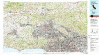 1979 Los Angeles1979 Print · USGSSouthern California at the close of the 1970s reveals a sprawling network of suburban growth and massive infrastructure projects. Researchers can trace established rail lines like the Southern Pacific alongside newer settlements and landmarks like Virginia Colony and Griffith Park.
 - 1995 Map of Agua Dulce, 1999 Print
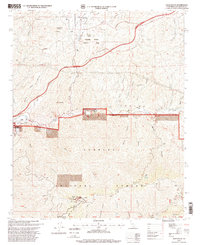 1995 Agua Dulce1999 Print · USGSAgua Dulce and the Soledad Canyon corridor are captured here during the 1990s, showcasing the high desert landscape before further suburban expansion. Researchers can trace the Southern Pacific railroad past the Golden Spike Monument and explore the distinct topography of Vasquez Rocks.
 - 2012 Map of Agua Dulce, 2012 Print
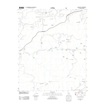 2012 Agua Dulce2012 Print · USGSAgua Dulce and the Soledad Canyon corridor are captured here during a period of modern growth within the high desert. Researchers can trace land use from working outposts like Nelson Ranch to landmarks such as the Golden Spike Monument and Vasquez Rocks.
 - 2015 Map of Agua Dulce, 2015 Print
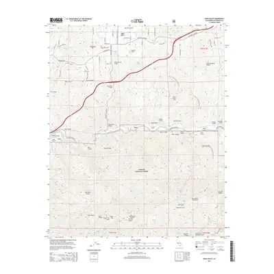 2015 Agua Dulce2015 Print · USGSAgua Dulce and the Sierra Pelona Valley are captured in this mid-2010s survey as they transition from rural outposts to modern desert communities. Genealogists and hikers can trace the Pacific Crest National Scenic Trail past Vasquez Rocks or locate the historic rail sidings at Lang and Russ.
 - 2018 Map of Agua Dulce, 2018 Print
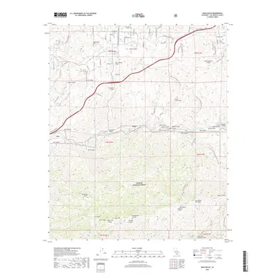 2018 Agua Dulce2018 Print · USGSLos Angeles County's rugged interior is mapped here in the late twenty-first century, showing the intersection of the Sierra Pelona and San Gabriel ranges. Researchers can trace the Pacific Crest National Scenic Trail through the Angeles National Forest or locate the settlements at Russ and Lang.
 - 2021 Map of Agua Dulce, 2021 Print
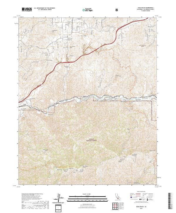 2021 Agua Dulce2021 Print · USGSAgua Dulce and the high desert canyons of Los Angeles County are captured here in the early 2020s. Hikers and local historians can trace the Pacific Crest National Scenic Trail past Vasquez Rocks or locate old rail points like Russ and Lang.
End of results
Showing maps 1-19 of 19
Top cities near Russ
- Los Angeles historical maps
- Glendale historical maps
- Santa Clarita historical maps
- Palmdale historical maps
- Lancaster historical maps
- Pasadena historical maps
See more
Frequently asked questions
- What are the different types of historical maps available for Russ?
- What is the oldest map of Russ?
- Where can I purchase historical maps of Russ for my home or office?
- Where can I download high-res historical maps of Russ?
- Are there historical topographic maps available for Russ?
- Is there historical aerial imagery available for Russ?
- Where are historical maps of Russ sourced from?