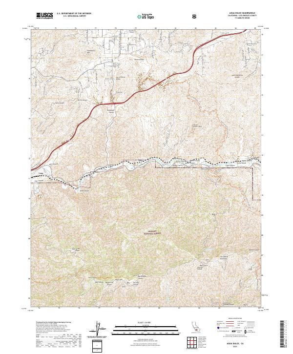
2021 Map of Agua Dulce
USGS Topo · Published 2021About this map
Vasquez Rocks stands as a defining geological landmark in this part of Los Angeles County, where the high desert terrain meets the northern reaches of the San Gabriel Mountains. The landscape is deeply carved by numerous canyons, including Escondido Canyon and Soledad Canyon, which historically served as vital corridors for transportation and water drainage. The Sierra Pelona Valley provides a relatively level floor for the Agua Dulce Airport and the small settlements of Russ and Lang. Much of the southern and central portion of the map is protected land within the Angeles National Forest. The route of the Pacific Crest National Scenic Trail winds through these heights, crossing ridges near Saddleback Mtn and Magic Mtn. This modern survey details the complex network of fire roads and local trails that support both forest management and recreation in this arid mountain environment.
Find a feature on this map
121 named features on this map. Tap any name to fly to it.
Don’t see what you’re looking for? This feature index may not catch every label — zoom into the map to look around manually.
Map Details
Editions of this 2021 Agua Dulce Map
This is the sole edition of this map. No revisions or reprints were ever made.
Other maps of this area

1900 · Tujunga
USGS Topo · 1:62,500

1900 · Fernando
USGS Topo · 1:62,500

1901 · Southern California Sheet No. 1
USGS Topo · 1:250,000

1904 · Southern California Sheet No. 1
USGS Topo · 1:250,000

1915 · Elizabeth Lake
USGS Topo · 1:125,000

1917 · Elizabeth Lake
USGS Topo · 1:125,000

1929 · Lang
USGS Topo · 1:24,000

1930 · Ravenna
USGS Topo · 1:24,000

1932 · Red Rover
USGS Topo · 1:24,000
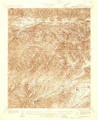
1932 · Mint Canyon
USGS Topo · 1:24,000