
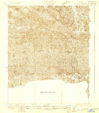
1929 Map of Lang
USGS Topo · Published 1929About this map
The Santa Clara River winds through this 1929 survey of the Soledad Canyon area, a landscape defined by early ranching, mining, and the vital corridor of the Southern Pacific railroad. Settled pockets like Lang and the Soledad Sulphur Springs highlight the region's early 20th-century development as both a transportation hub and a destination for its natural springs. The presence of the Borax Mine and Champion Mine underscores the industrial extraction that shaped the local economy alongside sprawling homesteads such as Sunny Slope Ranch and Greer Ranch.
Find a feature on this map
23 named features on this map. Tap any name to fly to it.
Don’t see what you’re looking for? This feature index may not catch every label — zoom into the map to look around manually.
Map Details
Editions of this 1929 Lang Map
This is the sole edition of this map. No revisions or reprints were ever made.
Other maps of this area

1900 · Fernando
USGS Topo · 1:62,500

1901 · Southern California Sheet No. 1
USGS Topo · 1:250,000

1904 · Southern California Sheet No. 1
USGS Topo · 1:250,000

1915 · Elizabeth Lake
USGS Topo · 1:125,000

1917 · Elizabeth Lake
USGS Topo · 1:125,000

1925 · Sylmar
USGS Topo · 1:24,000

1928 · Sylmar
USGS Topo · 1:24,000
1929 · Sylmar
USGS Topo · 1:24,000

1930 · Ravenna
USGS Topo · 1:24,000
1932 · La Brun
USGS Topo · 1:24,000