Old Maps of West Covina, California for Hiking & Exploration
Hike through history with 27 historic maps of West Covina. Explore old trails, ghost towns, and forgotten backroads — perfect for outdoor adventurers and local explorers.
- Rediscover forgotten places: Map out old mining camps, roads, and footpaths that no longer exist on modern maps.
- Layer with modern tools: Combine with LiDAR or satellite views to plan hikes through historical terrain.
- Made for exploration: Popular among hikers, overlanders, and local history lovers.
Use these maps to find adventure and explore the hidden past of West Covina.
West Covina, CA maps
(27)- 1894 Map of Pomona, 1960 Print
 1894 Pomona1960 Print · USGSThe eastern San Gabriel Valley is shown here in the 1890s, when the orchard economy and railroads were first reshaping the landscape. Genealogists and historians can trace early settlements and rail stops like Lordsburg, Alosta, and Rowland Siding.
 - 1897 Map of Pomona
 1897 Pomona1897 Print · USGSThe San Gabriel Valley is captured here in the late nineteenth century as a patchwork of citrus-growing colonies and emerging rail towns. Genealogists and historians can trace early property lines and settlements like Lordsburg, Alosta, and Spadra along the Covina Branch line.
 - 1898 Map of Pomona
 1898 Pomona1898 Print · USGSThe San Gabriel Valley is captured here during its late nineteenth-century rail boom, before the suburban expansion of the Los Angeles basin. Genealogists can trace the early streets of Pomona, Lordsburg, and San Dimas along the busy Southern Pacific Railroad.2 unique versions available
 - 1901 Map of Southern California Sheet No. 1
 1901 Southern California Sheet No. 11901 Print · USGSGreater Los Angeles at the dawn of the twentieth century is a landscape of growing citrus towns and a burgeoning rail network. Genealogists and historians can trace the early gridded streets of Hollywood and Pasadena or locate landmarks like Bear Lake and the Cahuilla Indian Reservation.6 unique versions available
 - 1904 Map of Pomona
 1904 Pomona1904 Print · USGSThe eastern San Gabriel Valley is shown here at the turn of the century as a burgeoning network of citrus towns and vital rail lines. Genealogists can trace early homesteads and vanished stops such as Lordsburg, Alosta, and the Rowland Siding along the Southern Pacific RR.7 unique versions available
 - 1904 Map of Southern California Sheet No. 1, 1905 Print
 1904 Southern California Sheet No. 11905 Print · USGSSouthern California at the dawn of the twentieth century shows a landscape of citrus groves and coastal towns connected by rail. Genealogists and historians can trace early settlements like San Juan Capistrano, find remote sites like the Rose Mine, and study the original water systems of the Santa Ana River.2 unique versions available
 - 1927 Map of Covina
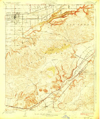 1927 Covina1927 Print · USGSThe eastern San Gabriel Valley was a thriving agricultural and transit hub in the 1920s, dominated by orchards and sprawling ranch lands. Genealogists can trace family roots through settlements like Covina, the Diamond Bar Ranch, and the Protestant Home for Boys.3 unique versions available
 - 1927 Map of Puente
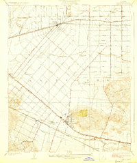 1927 Puente1927 Print · USGSThe San Gabriel Valley is shown in the late twenties during its era of agricultural prominence and early rail expansion. Genealogists can trace family tracts and rural community centers like Fellowship Farm, Temple Ranch, and the West Covina School.2 unique versions available
 - 1953 Map of San Bernardino
 1953 San Bernardino1953 Print · USGSSouthern California underwent massive post-war growth as suburban sprawl reached the foothills of the San Bernardino Mountains. Genealogists and historians can trace the rail-and-road roots of the Inland Empire through the Union Pacific RR and Lake Arrowhead resorts.2 unique versions available
 - 1953 Map of Baldwin Park, 1955 Print
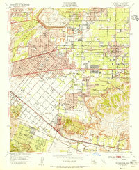 1953 Baldwin Park1955 Print · USGSThe San Gabriel Valley in the mid-fifties is captured here as orange groves and river washes give way to suburban sprawl. Researchers can trace the legacy of local schools and specialized facilities like St Johns School or the Sierra Lodge Sanitarium.2 unique versions available
 - 1954 Map of San Dimas, 1956 Print
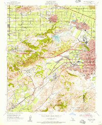 1954 San Dimas1956 Print · USGSEastern Los Angeles County appears at a moment of transition in the mid-fifties as suburban growth begins to surround the area's agricultural roots. Researchers can trace historic schools and cemeteries, from Evergreen Cemetery to the Naval Ordnance Plant and Diamond Bar Ranch.2 unique versions available
 - 1956 Map of San Bernardino
 1956 San Bernardino1956 Print · USGSSouthern California's Inland Empire and High Desert come into focus in the mid-fifties as agriculture gives way to suburban and military growth. Trace early rail lines like the Pacific Electric or find remote landmarks like Camp Rock Mine and George AFB.
 - 1957 Map of San Bernardino
 1957 San Bernardino1957 Print · USGSSouthern California's Inland Empire and High Desert met during the postwar expansion of the late fifties. Genealogists and historians can trace the growth of San Bernardino and Redlands alongside remote landmarks like Edwards AFB and the Camp Rock Mine.
 - 1958 Map of San Bernardino, 1975 Print
 1958 San Bernardino1975 Print · USGSSouthern California’s Inland Empire and High Desert come into focus during the mid-century boom, showing the rise of suburbs and massive military installations. Researchers can trace the rail networks of the Union Pacific RR or locate landmarks like Norton AFB and Big Bear Lake.
 - 1959 Map of San Bernardino
 1959 San Bernardino1959 Print · USGSSouthern California underwent a massive transformation in the late fifties as suburban growth and military power reshaped the desert and valley. Researchers can trace the legacy of the Union Pacific Railroad and locate early footprints of Joshua Tree National Monument and Edwards Air Force Base.
 - 1966 Map of San Bernardino
 1966 San Bernardino1966 Print · USGSThe San Bernardino Valley and Mojave Desert met during a period of massive military and suburban growth in the mid-sixties. Genealogists and historians can trace the development of Edwards Air Force Base, old desert mines like the Bagdad Chase Mine, and mountain communities near Big Bear Lake.
 - 1966 Map of Baldwin Park, 1967 Print
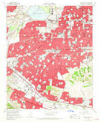 1966 Baldwin Park1967 Print · USGSThe San Gabriel Valley is captured during its mid-century transition from industrial riverbed to suburban expanse. Researchers can trace the development of La Puente and Covina alongside specialized sites like the El Encanto Sanitarium and Oakdale Memorial Park.5 unique versions available
 - 1966 Map of San Dimas, 1967 Print
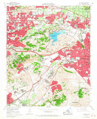 1966 San Dimas1967 Print · USGSThe San Gabriel Valley suburbs were expanding rapidly in the mid-sixties, encircling the high ground of the San Jose Hills. Genealogists and researchers can trace the institutional growth of the era at Cal Poly, Pacific State Hospital, and Sacred Heart Ch.4 unique versions available
 - 1982 Map of San Bernardino, 1983 Print
 1982 San Bernardino1983 Print · USGSThe Inland Empire and San Gabriel Valley met at a peak of suburban and industrial expansion in the early eighties. Researchers can trace the massive rail infrastructure through Cajon Pass and locate landmarks like Norton Air Force Base or the Fontana International Raceway.
 - 2012 Map of San Dimas, 2012 Print
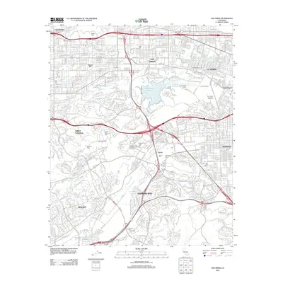 2012 San Dimas2012 Print · USGSCovers West Covina, including Pomona, Chino Hills, and other nearby areas
 - 2012 Map of Baldwin Park, 2012 Print
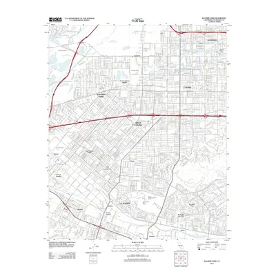 2012 Baldwin Park2012 Print · USGSCovers West Covina, including El Monte, Baldwin Park, and other nearby areas
 - 2015 Map of San Dimas, 2015 Print
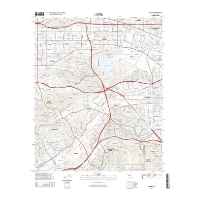 2015 San Dimas2015 Print · USGSCovers West Covina, including Pomona, Chino Hills, and other nearby areas
 - 2015 Map of Baldwin Park, 2015 Print
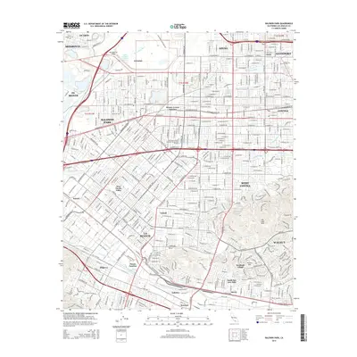 2015 Baldwin Park2015 Print · USGSCovers West Covina, including El Monte, Baldwin Park, and other nearby areas
 - 2018 Map of Baldwin Park, 2018 Print
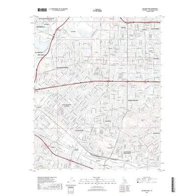 2018 Baldwin Park2018 Print · USGSCovers West Covina, including El Monte, Baldwin Park, and other nearby areas
 - 2018 Map of San Dimas, 2018 Print
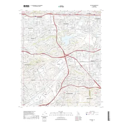 2018 San Dimas2018 Print · USGSCovers West Covina, including Pomona, Chino Hills, and other nearby areas
Showing maps 1-25 of 27
Top cities near West Covina
- Long Beach historical maps
- Anaheim historical maps
- Pomona historical maps
- Pasadena historical maps
- Fullerton historical maps
- Orange historical maps
See more
Top neighborhoods of West Covina
Frequently asked questions
- What are the different types of historical maps available for West Covina?
- What is the oldest map of West Covina?
- Where can I purchase historical maps of West Covina for my home or office?
- Where can I download high-res historical maps of West Covina?
- Are there historical topographic maps available for West Covina?
- Is there historical aerial imagery available for West Covina?
- Where are historical maps of West Covina sourced from?