Old Maps of North Fork, California for Genealogy
Trace your family roots with 15 historic maps of North Fork. These high-res maps reveal old neighborhoods, homesites, landmarks, and streets — helping you uncover where your ancestors lived and how the area evolved over time.
- Explore historic neighborhoods: Identify where your relatives may have lived in the 1800s or 1900s.
- Compare maps over time: Trace the changes in streets, buildings, and landmarks for multi-generational research.
- Perfect for genealogy & ancestry research: Used by family historians and researchers to map out lineage and migration.
These maps are an incredible resource for exploring your personal connection to North Fork's past.
North Fork, CA maps
(15)- 1912 Map of Mariposa
 1912 Mariposa1912 Print · USGSThe California Sierra foothills in the early twentieth century are mapped here as a hive of mining and timber activity. Researchers can trace the legacy of remote settlements and family lands including Grub Gulch, the Indian Settlement, and Knowles.6 unique versions available
 - 1942 Map of Millerton Lake, 1959 Print
 1942 Millerton Lake1959 Print · USGSThe foothills of Madera and Fresno counties come alive in the 1940s as the San Joaquin River is transformed by the Friant Dam. Genealogists and historians can locate family homesteads like Rosedale Ranch and early rural institutions including Spring Valley Sch and Picayune Rancheria.2 unique versions available
 - 1945 Map of Millerton Lake
 1945 Millerton Lake1945 Print · USGSThe Madera and Fresno County foothills come alive in the 1940s, showing the early years of Millerton Lake and the San Joaquin River gorge. Genealogists and historians can locate remote family sites like Venter and Hildreth, alongside the Picayune Rancheria and Walker Cemetery.2 unique versions available
 - 1947 Map of Mariposa, 1948 Print
 1947 Mariposa1948 Print · USGSThe High Sierra and Owens Valley transition is captured here in the late 1940s, just as the region’s hydroelectric and tourism infrastructure was maturing. Genealogists and historians can trace old ranger stations, the Casa Diablo Mine, and rail stops along the Southern Pacific like Benton Station and Zurich.2 unique versions available
 - 1948 Map of Mariposa, 1951 Print
 1948 Mariposa1951 Print · USGSThe High Sierra and Mariposa foothills are shown here in the late 1940s as the post-war tourism and water infrastructure expanded. Genealogists and historians can locate vanished waypoints like Mormon Bar, the Glacier Point Hotel, and the granite quarries of Knowles.
 - 1957 Map of Mariposa, 1966 Print
 1957 Mariposa1966 Print · USGSThe High Sierra and Owens Valley appear in the mid-fifties, showing the intersection of conservation, hydroelectric power, and mountain industry. Genealogists and researchers can trace local landmarks like Yosemite Cemetery, the remote Kinsley Station, and the Pine Creek Mine.4 unique versions available
 - 1963 Map of Mariposa
 1963 Mariposa1963 Print · USGSThe High Sierra and Owens Valley meet in the early sixties, showing a landscape defined by gold-rush history and massive post-war water projects. Genealogists and researchers can trace old mining routes near Mariposa, locate the Glacier Point Hotel, and find small settlements like Coarse Gold or Knowles Junction.
 - 1965 Map of North Fork, 1966 Print
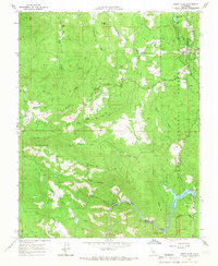 1965 North Fork1966 Print · USGSThe foothills of the Sierra Nevada are captured here in the mid-1960s, showing a landscape defined by timber, water management, and mining. Researchers can locate family landmarks like Church Ranch or Walker Cem, and trace the industrial footprint of the Fresno Banner Mine and Kerckhoff Dam.2 unique versions available
 - 1965 Map of Millerton Lake, 1967 Print
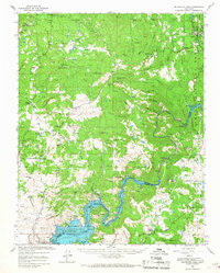 1965 Millerton Lake1967 Print · USGSThe San Joaquin foothills in the mid-sixties reveal a landscape of family ranches and new reservoirs. Genealogists can trace family landmarks like Veater Ranch and O'Neals, or locate the historic Picayune Cem and Spring Valley Sch.2 unique versions available
 - 1980 Map of Shaver Lake
 1980 Shaver Lake1980 Print · USGSThe Sierra Nevada foothills and high country come into focus during the early eighties, showing the region's complex water and timber infrastructure. Researchers can trace the heritage of local industry at Knowles Quarry, Buchanan Mine, and the hydroelectric works around Big Creek.3 unique versions available
 - 2004 Map of North Fork, 2007 Print
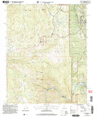 2004 North Fork2007 Print · USGSThe Madera County foothills are captured here in the early 2000s, showing a landscape defined by forest service lands and river power. Researchers can trace the Fresno Banner Mine, the North Fork Cemetery, and early settlements like Old Town and Church Ranch.
 - 2012 Map of North Fork, 2012 Print
 2012 North Fork2012 Print · USGSCovers North Fork, including Fine Gold, Fresno County, and other nearby areas
 - 2015 Map of North Fork, 2015 Print
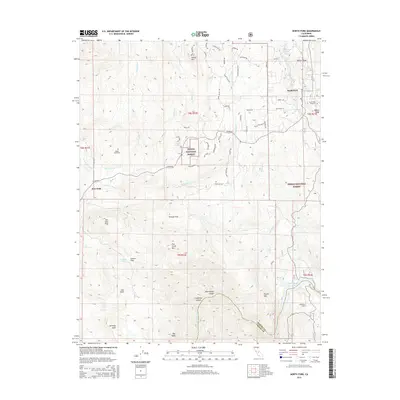 2015 North Fork2015 Print · USGSCovers North Fork, including Fine Gold, Fresno County, and other nearby areas
 - 2018 Map of North Fork, 2018 Print
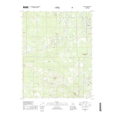 2018 North Fork2018 Print · USGSCovers North Fork, including Fine Gold, Fresno County, and other nearby areas
 - 2021 Map of North Fork, 2021 Print
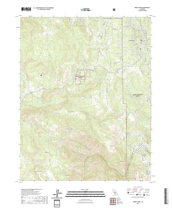 2021 North Fork2021 Print · USGSThe foothills of the Sierra Nevada come into focus in this recent study of the North Fork region, where the San Joaquin River meets the high forest. Researchers can trace historic water infrastructure like the Auberry Flume and locate family sites at Walker Cem.
End of results
Showing maps 1-15 of 15
Top cities near North Fork
Frequently asked questions
- What are the different types of historical maps available for North Fork?
- What is the oldest map of North Fork?
- Where can I purchase historical maps of North Fork for my home or office?
- Where can I download high-res historical maps of North Fork?
- Are there historical topographic maps available for North Fork?
- Is there historical aerial imagery available for North Fork?
- Where are historical maps of North Fork sourced from?