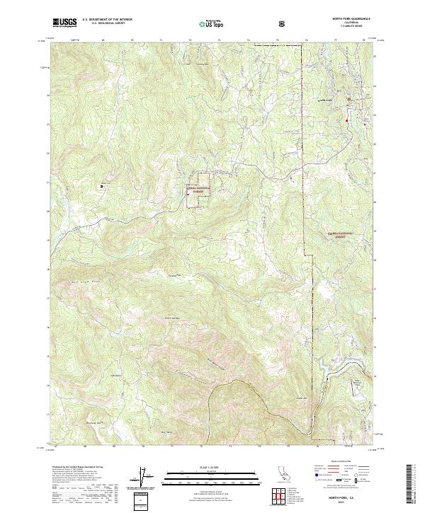
2021 Map of North Fork
USGS Topo · Published 2021About this map
North Fork serves as a primary hub within the Sierra National Forest, situated where the landscape transitions toward the high country of the Sierra Nevada. The area is defined by its water and timber heritage, evidenced by the Manzanita Flume Line and Auberry Flume traversing the terrain near Bass Lake. These industrial features, alongside the Bass Lake Ranger Station, underscore the region's long-standing connection to resource management and hydroelectric development.
Find a feature on this map
75 named features on this map. Tap any name to fly to it.
Don’t see what you’re looking for? This feature index may not catch every label — zoom into the map to look around manually.
Map Details
Editions of this 2021 North Fork Map
This is the sole edition of this map. No revisions or reprints were ever made.
Other maps of this area

1904 · Kaiser
USGS Topo · 1:125,000

1912 · Mariposa
USGS Topo · 1:125,000

1916 · Sulphur Springs
USGS Topo · 1:24,000

1919 · Sulphur Springs
USGS Topo · 1:31,680

1942 · Millerton Lake
USGS Topo · 1:62,500

1945 · Millerton Lake
USGS Topo · 1:62,500

1947 · Mariposa
USGS Topo · 1:250,000

1948 · Mariposa
USGS Topo · 1:250,000
1953 · Bass Lake
USGS Topo · 1:62,500

1953 · Shaver Lake
USGS Topo · 1:62,500