Old Maps of Spirit Rock, California for Hiking & Exploration
Hike through history with 14 historic maps of Spirit Rock. Explore old trails, ghost towns, and forgotten backroads — perfect for outdoor adventurers and local explorers.
- Rediscover forgotten places: Map out old mining camps, roads, and footpaths that no longer exist on modern maps.
- Layer with modern tools: Combine with LiDAR or satellite views to plan hikes through historical terrain.
- Made for exploration: Popular among hikers, overlanders, and local history lovers.
Use these maps to find adventure and explore the hidden past of Spirit Rock.
Spirit Rock, CA maps
(14)- 1914 Map of Petaluma
 1914 Petaluma1914 Print · USGSThe North Bay region near the turn of the century shows a landscape of tidal marshes and rising ridges connected by the Northwestern Pacific. Genealogists and historians can trace old family ranch sites like Freitas Ranch and numerous rural schoolhouses including Iowa School and Burdell School.5 unique versions available
 - 1942 Map of Petaluma
 1942 Petaluma1942 Print · USGSThe Marin and Sonoma county line runs through this early 1940s landscape of tidal marshes and ranch lands. Genealogists can trace family names at Mt Oliver Cemetery or find historic rural institutions like the Olompali School and St Vincent Station.
 - 1947 Map of Santa Rosa
 1947 Santa Rosa1947 Print · USGSNorthern California in the late 1940s was a landscape of agricultural valleys and vital rail hubs. Trace the historic routes of the Northwestern Pacific through Healdsburg or explore the mid-century waterfronts of Vallejo and Benicia near Mare Island.
 - 1949 Map of Santa Rosa
 1949 Santa Rosa1949 Print · USGSThe North Bay and Wine Country appear here in the late 1940s, when the Northwestern Pacific RR still dominated regional transit. Genealogists and historians can trace old coastal outposts like Anchor Bay Settlement and the early layout of Santa Rosa.2 unique versions available
 - 1954 Map of San Geronimo, 1955 Print
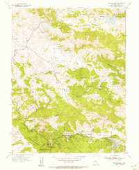 1954 San Geronimo1955 Print · USGSMarin County in the mid-fifties is characterized by rural crossroads and the early growth of canyon communities. Trace the legacy of the North Pacific Coast Railroad via the Old Railroad Grade and find family-named landmarks like Barnabe Mtn and Jewell.5 unique versions available
 - 1954 Map of Petaluma, 1959 Print
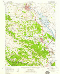 1954 Petaluma1959 Print · USGSCoastal mountains and river sloughs define the Marin and Sonoma borderlands in the mid-1950s, a period of military expansion and rural transition. Genealogists and historians can trace family-named schools like Iowa School or Wilson Sch and the extensive infrastructure of Hamilton Air Force Base.3 unique versions available
 - 1958 Map of Santa Rosa, 1968 Print
 1958 Santa Rosa1968 Print · USGSThe North Bay and Wine Country are captured in the mid-twentieth century as the region balanced its agricultural roots with a growing military and recreational footprint. Researchers can trace the Northwestern Pacific RR through the Russian River valley or locate landmarks like the Petaluma Adobe Historical Monument and The Geysers Resort.3 unique versions available
 - 1962 Map of Santa Rosa
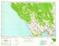 1962 Santa Rosa1962 Print · USGSThe North Bay and Wine Country were entering a period of significant growth in the early sixties, anchored by established rail corridors and coastal maritime commerce. Genealogists and historians can trace the development of Santa Rosa, locate the Mare Island Naval Shipyard, and follow the Northwestern Pacific RR through the Cotati Valley.
 - 1964 Map of Santa Rosa
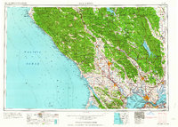 1964 Santa Rosa1964 Print · USGSThe North Bay and Wine Country appear in the mid-fifties during a period of significant military and educational growth. Trace old rail lines like the Northwestern Pacific RR and explore historic sites from Petaluma to the Benicia Arsenal.
 - 1983 Map of Napa
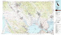 1983 Napa1983 Print · USGSThe North Bay and wine country are captured in the early eighties as suburban growth began to surround traditional agricultural centers. Researchers can trace the rail corridors of the Northwestern Pacific Railroad, the grounds of Mare Island Naval Shipyard, and the reach of the San Andreas Rift Zone.
 - 2012 Map of San Geronimo, 2012 Print
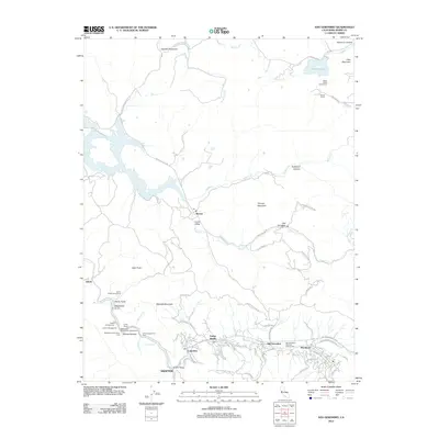 2012 San Geronimo2012 Print · USGSThe San Geronimo Valley and Nicasio highlands are shown here in the early twenty-first century, just as the region's ranching roots met modern preservation. Researchers can trace historic settlements from Woodacre to Lagunitas and locate landmarks like Shafter Bridge or Stafford Lake.
 - 2015 Map of San Geronimo, 2015 Print
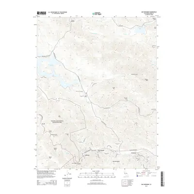 2015 San Geronimo2015 Print · USGSMarin County's valley communities and water reserves are shown here in the mid-2010s, nestled between prominent ridgelines. Genealogists and hikers can locate Taylors Grave Site, Shafter Bridge, and the small settlements of Forest Knolls and Lagunitas.
 - 2018 Map of San Geronimo, 2018 Print
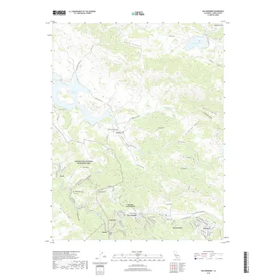 2018 San Geronimo2018 Print · USGSMarin County's inland valleys and coastal ridges are captured here in the late twenty-teens, highlighting the enduring character of its small settlements. Genealogists and hikers can trace connections between Nicasio, Woodacre, and Jewell, or locate landmarks like Taylor Cem and Shafter Bridge.
 - 2021 Map of San Geronimo, 2021 Print
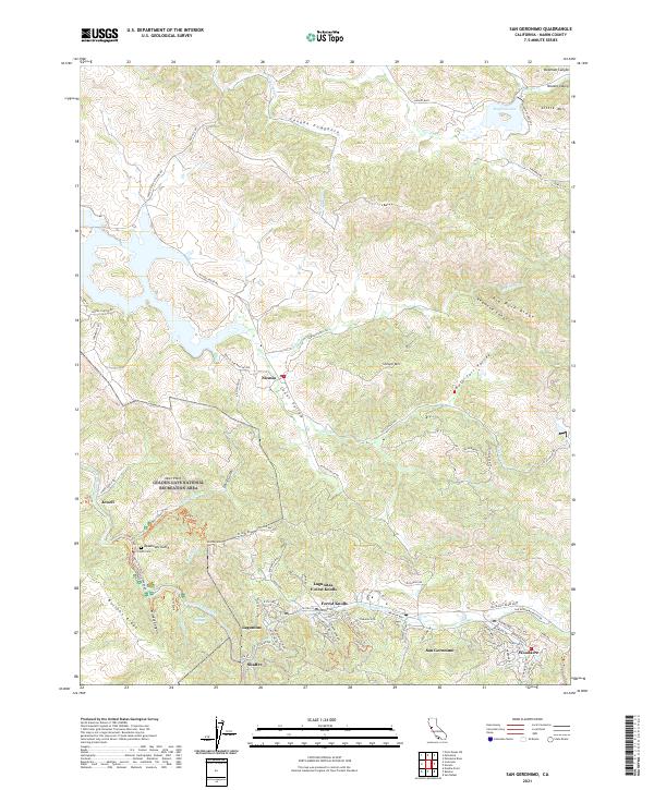 2021 San Geronimo2021 Print · USGSThe San Geronimo Valley and Nicasio ranchlands are documented here in the early twenty-first century as they maintain their rural character. Researchers can find precise locations for Taylor Cem, the small settlement of Jewell, and the peaks of Big Rock Ridge.
End of results
Showing maps 1-14 of 14
Top cities near Spirit Rock
- San Francisco historical maps
- Richmond historical maps
- Petaluma historical maps
- San Rafael historical maps
- Novato historical maps
- Mill Valley historical maps
See more
Frequently asked questions
- What are the different types of historical maps available for Spirit Rock?
- What is the oldest map of Spirit Rock?
- Where can I purchase historical maps of Spirit Rock for my home or office?
- Where can I download high-res historical maps of Spirit Rock?
- Are there historical topographic maps available for Spirit Rock?
- Is there historical aerial imagery available for Spirit Rock?
- Where are historical maps of Spirit Rock sourced from?