
1914 Map of Petaluma
USGS Topo · Published 1914About this map
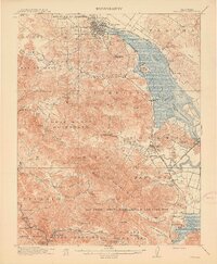
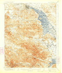
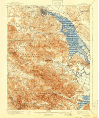
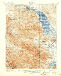
Petaluma and the surrounding river-and-rail corridor define this survey of southern Sonoma and northern Marin Counties. The Northwestern Pacific railroad follows the winding course of Petaluma Creek, connecting landings and small settlements like Haystack Landing and Lakeville. The map captures the transition from the tidal marshlands of False Bay to the rising elevations of Burdell Mtn and Big Rock Ridge, where land use shifts toward large ranching operations like the Sleepy Hollow Ranch and Freitas Ranch.
Find a feature on this map
91 named features on this map. Tap any name to fly to it.
Don’t see what you’re looking for? This feature index may not catch every label — zoom into the map to look around manually.
Map Details
Editions of this 1914 Petaluma Map
5 editions found
Other maps of this area

1895 · San Francisco
USGS Topo · 1:62,500

1897 · Tamalpais
USGS Topo · 1:62,500

1899 · San Francisco
USGS Topo · 1:62,500

1902 · Napa
USGS Topo · 1:125,000

1915 · San Francisco
USGS Topo · 1:62,500

1916 · Mare Island
USGS Topo · 1:62,500

1916 · Santa Rosa
USGS Topo · 1:62,500

1916 · Point Reyes
USGS Topo · 1:48,000

1918 · Point Reyes
USGS Topo · 1:62,500

1935 · Sebastopol
USGS Topo · 1:48,000