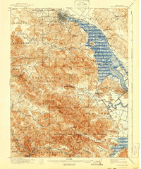
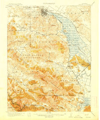
1914 Map of Petaluma
USGS Topo · Published 1940About this map
The town of Petaluma serves as the focal point for this survey, situated at the head of the winding Petaluma Creek tidal marshes. The landscape is defined by the transition from the waterway's wide wetlands and Nell Island to the prominent heights of Burdell Mtn and Big Rock Ridge. Traces of the old rancho system remain visible through large boundary labels like Olompali and San Jose (Pacheco), which overlay the developing infrastructure of the early twentieth century.
Find a feature on this map
101 named features on this map. Tap any name to fly to it.
Don’t see what you’re looking for? This feature index may not catch every label — zoom into the map to look around manually.
Map Details
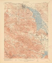
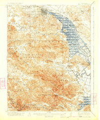
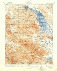
Editions of this 1914 Petaluma Map
5 editions found
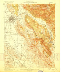
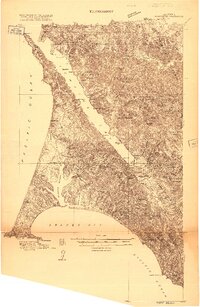
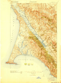
Other maps of this area

1895 · San Francisco
USGS Topo · 1:62,500

1897 · Tamalpais
USGS Topo · 1:62,500

1899 · San Francisco
USGS Topo · 1:62,500

1902 · Napa
USGS Topo · 1:125,000
1914 · Petaluma
USGS Topo · 1:62,500

1915 · San Francisco
USGS Topo · 1:62,500

1916 · Mare Island
USGS Topo · 1:62,500
1916 · Santa Rosa
USGS Topo · 1:62,500
1916 · Point Reyes
USGS Topo · 1:48,000
1918 · Point Reyes
USGS Topo · 1:62,500