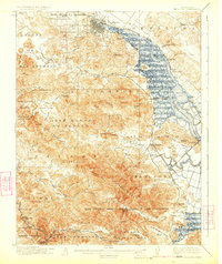
1914 Map of Petaluma
USGS Topo · Published 1924About this map
Petaluma and the marshy expanses of Petaluma Creek anchor this early 20th-century landscape, where the Northwestern Pacific railroad and the Petaluma and Santa Rosa RR (Electric) shaped the region's transport. The map reveals a transition from the structured street grid of Petaluma to the expansive ranchos and land grants that defined the border of Sonoma and Marin counties, including Olompali and San Geronimo.
Find a feature on this map
96 named features on this map. Tap any name to fly to it.
Don’t see what you’re looking for? This feature index may not catch every label — zoom into the map to look around manually.
Map Details
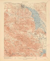
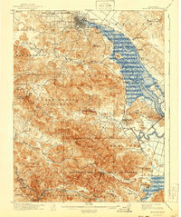
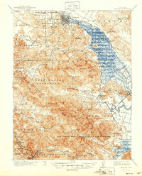
Editions of this 1914 Petaluma Map
5 editions found
Other maps of this area

1895 · San Francisco
USGS Topo · 1:62,500

1897 · Tamalpais
USGS Topo · 1:62,500

1899 · San Francisco
USGS Topo · 1:62,500

1902 · Napa
USGS Topo · 1:125,000

1914 · Petaluma
USGS Topo · 1:62,500

1915 · San Francisco
USGS Topo · 1:62,500

1916 · Mare Island
USGS Topo · 1:62,500

1916 · Santa Rosa
USGS Topo · 1:62,500

1916 · Point Reyes
USGS Topo · 1:48,000

1918 · Point Reyes
USGS Topo · 1:62,500