Old Maps of Clearing House, California for Metal Detecting
Plan your next treasure hunt with 18 historic maps of Clearing House. Find old homesites, ghost towns, trails, and gathering spots that may be lost to time — perfect for identifying promising metal detecting locations.
- Locate forgotten sites: Uncover places like long-lost settlements, abandoned rail lines, or gathering spots.
- Plan better hunts: Use map overlays combined with LiDAR or satellite views to narrow in on historically rich areas.
- Made for detectorists: Thousands of hobbyists use these maps to discover relics, coins, and hidden history.
Use these historic maps to boost your research and find new opportunities beneath the surface of Clearing House.
Clearing House, CA maps
(18)- 1897 Map of Yosemite
 1897 Yosemite1897 Print · USGSThe Sierra Nevada high country is captured here during the earliest years of the national park, before major infrastructure changed the landscape. Researchers can locate early homesteads and travel stops like Hog Ranch, Harden Ranch, and Sequoia.
 - 1900 Map of Yosemite
 1900 Yosemite1900 Print · USGSThe central Sierra Nevada appears here in the late nineteenth century, prior to the major damming projects that reshaped the river valleys. Genealogists and historians can trace pioneer outposts like Harden Ranch and Hite Cove, or the early tourism hub at Yosemite.
 - 1903 Map of Yosemite
 1903 Yosemite1903 Print · USGSThe High Sierra and foothills of Mariposa County appear here in the early 1900s, documenting the early ranching and travel networks of the region. Local historians and genealogists can trace family holdings at Harden Ranch, the mining hub of Hite Cove, and the isolated Stage Station.2 unique versions available
 - 1909 Map of Yosemite
 1909 Yosemite1909 Print · USGSMariposa and Tuolumne counties are shown here at the turn of the century, prior to the damming of the Tuolumne River. Researchers can trace early ranching and mining sites like Hog Ranch, Hite Cove, and the historic Stage Station.7 unique versions available
 - 1947 Map of El Portal
 1947 El Portal1947 Print · USGSThe Merced River canyon in the late 1940s stands as a rugged gateway where Yosemite National Park meets several national forests. Genealogists and historians can trace the foundations of El Portal, the rail connections at Incline, and mountain roads like the Old Coulterville Road.6 unique versions available
 - 1947 Map of Mariposa, 1948 Print
 1947 Mariposa1948 Print · USGSThe High Sierra and Owens Valley transition is captured here in the late 1940s, just as the region’s hydroelectric and tourism infrastructure was maturing. Genealogists and historians can trace old ranger stations, the Casa Diablo Mine, and rail stops along the Southern Pacific like Benton Station and Zurich.2 unique versions available
 - 1947 Map of El Portal, 1953 Print
 1947 El Portal1953 Print · USGSMariposa County in the late 1940s serves as the rugged threshold to Yosemite, defined by deep river canyons and early forest service outposts. Genealogists and historians can trace the foundations of mountain life at the Colorado Sch, Buffalo Mine, and the McCauley Ranch (Old Stage Sta).4 unique versions available
 - 1948 Map of Mariposa, 1951 Print
 1948 Mariposa1951 Print · USGSThe High Sierra and Mariposa foothills are shown here in the late 1940s as the post-war tourism and water infrastructure expanded. Genealogists and historians can locate vanished waypoints like Mormon Bar, the Glacier Point Hotel, and the granite quarries of Knowles.
 - 1949 Map of El Portal
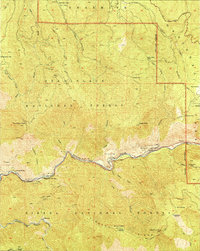 1949 El Portal1949 Print · USGSAs the post-war era transformed mountain access, this survey highlights the rugged corridor into the Sierra. Researchers can trace the river-level settlements of El Portal and Clearing House, or locate the Merced Grove Big Trees and old mining sites at Hite Cove.2 unique versions available
 - 1957 Map of Mariposa, 1966 Print
 1957 Mariposa1966 Print · USGSThe High Sierra and Owens Valley appear in the mid-fifties, showing the intersection of conservation, hydroelectric power, and mountain industry. Genealogists and researchers can trace local landmarks like Yosemite Cemetery, the remote Kinsley Station, and the Pine Creek Mine.4 unique versions available
 - 1963 Map of Mariposa
 1963 Mariposa1963 Print · USGSThe High Sierra and Owens Valley meet in the early sixties, showing a landscape defined by gold-rush history and massive post-war water projects. Genealogists and researchers can trace old mining routes near Mariposa, locate the Glacier Point Hotel, and find small settlements like Coarse Gold or Knowles Junction.
 - 1976 Map of Yosemite Valley, 1994 Print
 1976 Yosemite Valley1994 Print · USGSThe High Sierra and the iconic Yosemite Valley are captured here during the 1970s, showing the primary road networks and backcountry trails of the day. Researchers can trace the layout of Yosemite Village or locate historic mining sites like Schroeder Mine and Buffalo Mine.2 unique versions available
 - 1992 Map of El Portal, 1995 Print
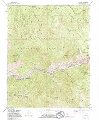 1992 El Portal1995 Print · USGSMariposa County near the Yosemite boundary is shown here as the river-and-rail corridor developed in the mid-twentieth century. Researchers can trace the M W & S R rail line along the Merced River past El Portal and the Merced Grove Big Trees.
 - 2004 Map of El Portal, 2007 Print
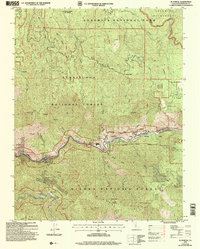 2004 El Portal2007 Print · USGSMariposa County at the start of the millennium shows the critical park gateway at El Portal and the surrounding wilderness of the Stanislaus National Forest. Researchers can trace old mining prospects and find historic settlements like Hite Cove, Incline, and Foresta.
 - 2012 Map of El Portal, 2012 Print
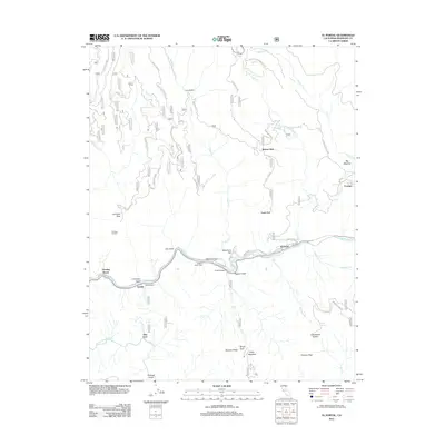 2012 El Portal2012 Print · USGSMariposa County at the doorstep of Yosemite reveals a complex network of canyon settlements and mountain lookouts in 2012. Researchers can trace the river-bound communities of El Portal and Incline or locate high-country landmarks like Trumbull Lookout and Little Nellie Falls.
 - 2015 Map of El Portal, 2015 Print
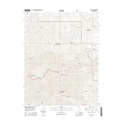 2015 El Portal2015 Print · USGSMariposa County, California, is revealed here at the threshold of the high mountains during the mid-2010s. Researchers can trace the river-bound settlements of El Portal and Rancheria Flat or locate the historic sites of Hite Cove and Incline.
 - 2018 Map of El Portal, 2018 Print
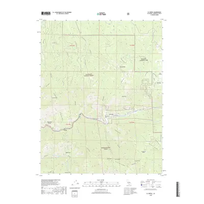 2018 El Portal2018 Print · USGSMariposa County’s mountain communities and river canyons are detailed here in the late 2010s. Researchers can trace historic routes like Old Coulterville Rd and locate riverside sites such as Incline, Hite Cove, and Rancheria Flat.
 - 2021 Map of El Portal, 2021 Print
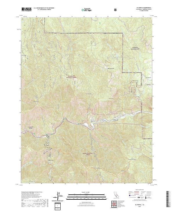 2021 El Portal2021 Print · USGSThe Merced River canyon serves as a dramatic gateway to the Sierra Nevada in this modern survey of the Mariposa County high country. Genealogists and historians can trace old mountain settlements like Foresta, the river-side community of Incline, and the historic site of Hite Cove.
End of results
Showing maps 1-18 of 18
Frequently asked questions
- What are the different types of historical maps available for Clearing House?
- What is the oldest map of Clearing House?
- Where can I purchase historical maps of Clearing House for my home or office?
- Where can I download high-res historical maps of Clearing House?
- Are there historical topographic maps available for Clearing House?
- Is there historical aerial imagery available for Clearing House?
- Where are historical maps of Clearing House sourced from?