Old Maps of Cummings, California for Genealogy
Trace your family roots with 11 historic maps of Cummings. These high-res maps reveal old neighborhoods, homesites, landmarks, and streets — helping you uncover where your ancestors lived and how the area evolved over time.
- Explore historic neighborhoods: Identify where your relatives may have lived in the 1800s or 1900s.
- Compare maps over time: Trace the changes in streets, buildings, and landmarks for multi-generational research.
- Perfect for genealogy & ancestry research: Used by family historians and researchers to map out lineage and migration.
These maps are an incredible resource for exploring your personal connection to Cummings's past.
Cummings, CA maps
(11)- 1920 Map of Cummings
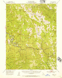
 1920 Cummings1920 Print · USGSMendocino County ranching and transit corridors are captured in the years following the Great War as the modern highway began to take shape. Genealogists and historians can locate family holdings like Buckhorn Ranch and Spittler Ranch alongside early settlements at Bell Springs and Cummings.
 - 1952 Map of Leggett, 1954 Print
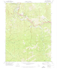
 1952 Leggett1954 Print · USGSMendocino County’s mountain interior is mapped here in the early fifties, showing the logging and ranching country around the South Fork Eel River. Researchers can locate family landmarks like Drewry Ranch, the Linser Mine, and the historic Bell Springs Road.3 unique versions available
 - 1957 Map of Ukiah, 1966 Print
 1957 Ukiah1966 Print · USGSNorthern California's diverse terrain comes into focus in the mid-1950s, from the rugged timberlands of the Jackson State Forest to the productive Sacramento Valley. Genealogists and historians can trace the rail lines of the Northwestern Pacific or locate early valley settlements like Arbuckle and Paskenta.3 unique versions available
 - 1960 Map of Ukiah
 1960 Ukiah1960 Print · USGSNorthern California during the late fifties reveals a landscape of deep timber forests and valley agriculture before modern expansion. Trace the historic rail lines of the California Western RR and the Northwestern Pacific RR through settlements like Fort Bragg and Ukiah.2 unique versions available
 - 1969 Map of Leggett, 1974 Print
 1969 Leggett1974 Print · USGSNorthern Mendocino County is captured in the late sixties as the highway corridor through the redwoods modernized. Genealogists and local historians can trace family-named landmarks and river sites like Underwood Park, Chandelier Tree, and Cummings.3 unique versions available
 - 1981 Map of Covelo
 1981 Covelo1981 Print · USGSIn the early 1980s, Mendocino County's interior and coastline remained a patchwork of tribal lands and timber outposts. Trace the Northwestern Pacific rail line and discover the boundaries of the Round Valley Indian Reservation Boundary and Covelo.2 unique versions available
 - 2012 Map of Leggett, 2012 Print
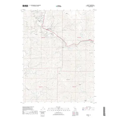
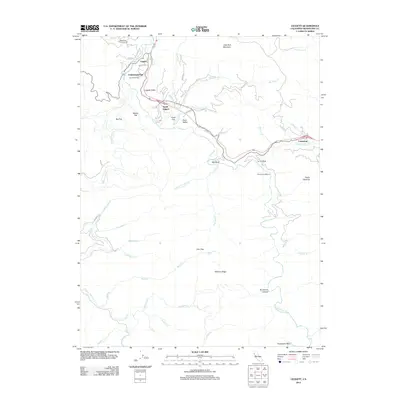 2012 Leggett2012 Print · USGSCovers Cummings, including Leggett, Mendocino County, and other nearby areas
 - 2015 Map of Leggett, 2015 Print
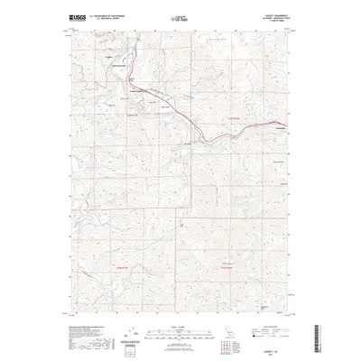
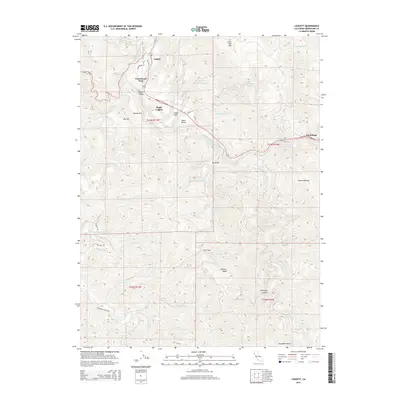 2015 Leggett2015 Print · USGSCovers Cummings, including Leggett, Mendocino County, and other nearby areas
 - 2018 Map of Leggett, 2018 Print
 2018 Leggett2018 Print · USGSCovers Cummings, including Leggett, Mendocino County, and other nearby areas
 - 2021 Map of Leggett, 2021 Print
 2021 Leggett2021 Print · USGSCovers Cummings, including Leggett, Mendocino County, and other nearby areas
 - 2023 Map of Leggett, 2023 Print
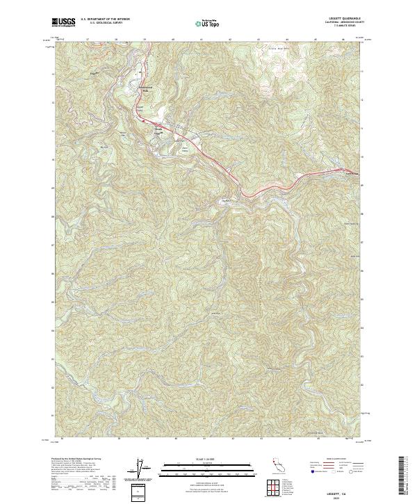 2023 Leggett2023 Print · USGSMendocino County's redwood forests and river valleys are captured here in the early twenty-first century, showing the intersection of wilderness and highway. Trace local landmarks from Leggett to Cummings, including Underwood Park and the winding South Fork Eel River.
End of results
Showing maps 1-11 of 11
Top cities near Cummings
Frequently asked questions
- What are the different types of historical maps available for Cummings?
- What is the oldest map of Cummings?
- Where can I purchase historical maps of Cummings for my home or office?
- Where can I download high-res historical maps of Cummings?
- Are there historical topographic maps available for Cummings?
- Is there historical aerial imagery available for Cummings?
- Where are historical maps of Cummings sourced from?