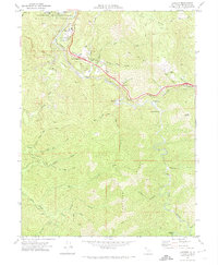
1969 Map of Leggett
USGS Topo · Published 1974About this map
Leggett sits at the junction where the South Fork Eel River winds through the northern Mendocino highlands. This 1969 field-checked survey highlights the early modern infrastructure of the corridor, including a 4 Lane highway segment and the Gaging Station monitoring the river's flow. Local landmarks such as the Chandelier Tree and Underwood Park point to the area's established role in redwood-country tourism, while small settlements like South Leggett and Cummings anchor the transport route.
Find a feature on this map
50 named features on this map. Tap any name to fly to it.
Don’t see what you’re looking for? This feature index may not catch every label — zoom into the map to look around manually.
Map Details
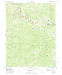
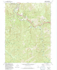
Editions of this 1969 Leggett Map
3 editions found
Other maps of this area

1920 · Cummings
USGS Topo · 1:62,500

1921 · Westport
USGS Topo · 1:62,500

1921 · Branscomb
USGS Topo · 1:62,500

1950 · Piercy
USGS Topo · 1:62,500

1950 · Cape Vizcaino
USGS Topo · 1:62,500

1951 · Cape Vizcaino
USGS Topo · 1:62,500

1951 · Branscomb
USGS Topo · 1:62,500

1952 · Leggett
USGS Topo · 1:62,500

1957 · Ukiah
USGS Topo · 1:250,000

1960 · Ukiah
USGS Topo · 1:250,000