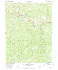
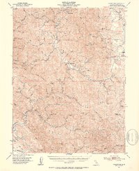
1969 Map of Leggett
USGS Topo · Published 1987About this map
The South Fork Eel River carves a winding path through the heart of Mendocino County, where the settlement of Leggett serves as a vital junction in the redwood country. This 1969 field-checked survey highlights the early infrastructure of the region, including the modernizing 4 Lane highway transitioning through South Leggett and past the famous Chandelier Tree. The landscape is a complex network of narrow valleys and named creek systems, with Dann Valley and Winkie Flat providing some of the few level areas amidst the steep elevations of Elkhorn Ridge.
Find a feature on this map
48 named features on this map. Tap any name to fly to it.
Don’t see what you’re looking for? This feature index may not catch every label — zoom into the map to look around manually.
Map Details
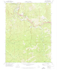
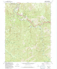
Editions of this 1969 Leggett Map
3 editions found
Other maps of this area

1920 · Cummings
USGS Topo · 1:62,500

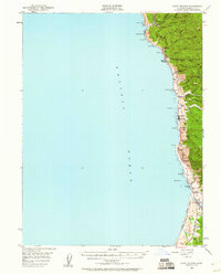
1921 · Westport
USGS Topo · 1:62,500

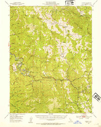
1921 · Branscomb
USGS Topo · 1:62,500
1950 · Piercy
USGS Topo · 1:62,500
1950 · Cape Vizcaino
USGS Topo · 1:62,500

1951 · Cape Vizcaino
USGS Topo · 1:62,500
1951 · Branscomb
USGS Topo · 1:62,500
1952 · Leggett
USGS Topo · 1:62,500

1957 · Ukiah
USGS Topo · 1:250,000

1960 · Ukiah
USGS Topo · 1:250,000