
Historical Maps of Mendocino County, California
What stories do these 410 old maps tell about Mendocino County's past? From 1920 to present day, these maps reveal the evolution of streets, neighborhoods, iconic landmarks, and natural features in stunning high-res detail. Whether you're a history enthusiast, genealogist, or professional in education, environmental work, or architecture, these maps are perfect for exploration, research, and discovery.
Discover Mendocino County's history through maps:
- Trace Mendocino County's growth: Explore earlier and latest maps and editions to uncover how the region changed over time.
- Examine technical details: Each map includes its creators, publishers, scale, dimensions, and full source information.
- Layer maps with modern tools & imagery: Compare historical maps to modern-day with high-resolution satellite imagery and detailed LiDAR layers.
- Sourced from trusted archives: Carefully preserved and digitized by institutions like the United Stated Geological Survey and the US Library of Congress.
- Access in any format: View and explore in high resolution, download for offline use, or order a museum-quality print for yourself or a loved one.
Begin your journey into Mendocino County's history with these remarkable must-see maps.
Mendocino County, CA maps
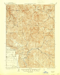
(410)- 1920 Map of Glenblair
 1920 Glenblair1920 Print · USGSCovers Mendocino County, including Comptche, United States, and other nearby areas
 - 1920 Map of Pt. Delagda
 1920 Pt. Delagda1920 Print · USGSCovers Mendocino County, including Hunter Place, Scott Place, and other nearby areas
 - 1920 Map of Cummings
 1920 Cummings1920 Print · USGSCovers Mendocino County, including Leggett, Twin Rocks, and other nearby areas
 - 1920 Map of Ukiah
 1920 Ukiah1920 Print · USGSCovers Mendocino County, including Ukiah, Redwood Valley, and other nearby areas
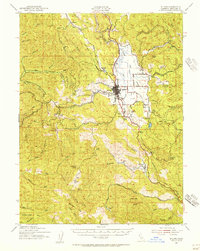
 - 1920 Map of Covelo
 1920 Covelo1920 Print · USGSCovers Mendocino County, including Covelo, Ramsey, and other nearby areas
 - 1920 Map of Harris
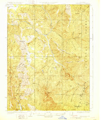
 1920 Harris1920 Print · USGSCovers Mendocino County, including Kekawaka, Harris, and other nearby areas
 - 1920 Map of Fort Bragg, 1928 Print
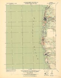 1920 Fort Bragg1928 Print · USGSCovers Mendocino County, including Fort Bragg, Mendocino, and other nearby areas
 - 1921 Map of Kelseyville
 1921 Kelseyville1921 Print · USGSCovers Mendocino County, including Cloverdale, Kelseyville, and other nearby areas
 - 1921 Map of Westport
 1921 Westport1921 Print · USGSCovers Mendocino County, including Inglenook, Westport, and other nearby areas
 - 1921 Map of Briceland
 1921 Briceland1921 Print · USGSCovers Mendocino County, including Whitethorn, Redway, and other nearby areas
 - 1921 Map of Branscomb
 1921 Branscomb1921 Print · USGSCovers Mendocino County, including Branscomb, United States, and other nearby areas
 - 1921 Map of Briceland
 1921 Briceland1921 Print · USGSCovers Mendocino County, including Whitethorn, Redway, and other nearby areas
 - 1921 Map of Cape Vizcaino, 1929 Print
 1921 Cape Vizcaino1929 Print · USGSCovers Mendocino County, including Inglenook, Westport, and other nearby areas
 - 1922 Map of Willits
 1922 Willits1922 Print · USGSCovers Mendocino County, including Willits, Ridgewood Ranch, and other nearby areas
 - 1922 Map of Hullville
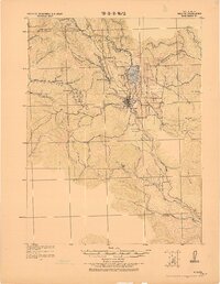
 1922 Hullville1922 Print · USGSCovers Mendocino County, including Rice Fork Summer Homes, Lake County, and other nearby areas
 - 1926 Map of Covelo
 1926 Covelo1926 Print · USGSCovers Mendocino County, including Covelo, McClure Place, and other nearby areas
 - 1926 Map of Covelo, 1944 Print
 1926 Covelo1944 Print · USGSCovers Mendocino County, including Covelo, McClure Place, and other nearby areas
 - 1929 Map of Eden Valley
 1929 Eden Valley1929 Print · USGSCovers Mendocino County, including Lake County, United States, and other nearby areas
 - 1929 Map of Eden Valley, 1943 Print
 1929 Eden Valley1943 Print · USGSCovers Mendocino County, including Lake County, United States, and other nearby areas
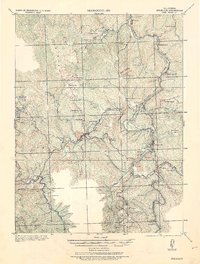
 - 1938 Map of Lakeport
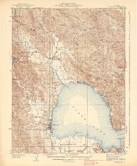
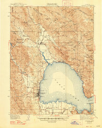
 1938 Lakeport1938 Print · USGSCovers Mendocino County, including Lakeport, Lucerne, and other nearby areas
 - 1938 Map of Lakeport
 1938 Lakeport1938 Print · USGSCovers Mendocino County, including Lakeport, Lucerne, and other nearby areas
 - 1938 Map of Hopland
 1938 Hopland1938 Print · USGSCovers Mendocino County, including Cloverdale, Yorkville, and other nearby areas
 - 1938 Map of Lakeport, 1948 Print
 1938 Lakeport1948 Print · USGSCovers Mendocino County, including Lakeport, Lucerne, and other nearby areas
 - 1942 Map of Willits, 1956 Print
 1942 Willits1956 Print · USGSCovers Mendocino County, including Willits, Ridgewood Ranch, and other nearby areas
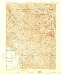
 - 1943 Map of Point Arena
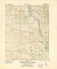
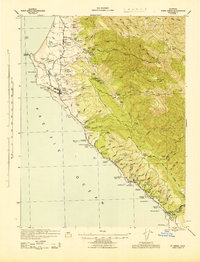 1943 Point Arena1943 Print · USGSCovers Mendocino County, including Point Arena, Gallaway, and other nearby areas
Showing maps 1-25 of 410
Top cities in Mendocino County
- Ukiah historical maps
- Fort Bragg historical maps
- Willits historical maps
- Redwood Valley historical maps
- Talmage historical maps
- Talmage historical maps
See more
Frequently asked questions
- What are the different types of historical maps available for Mendocino County?
- What is the oldest map of Mendocino County?
- Where can I purchase historical maps of Mendocino County for my home or office?
- Where can I download high-res historical maps of Mendocino County?
- Are there historical topographic maps available for Mendocino County?
- Is there historical aerial imagery available for Mendocino County?
- Where are historical maps of Mendocino County sourced from?