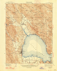
1938 Map of Lakeport
USGS Topo · Published 1948About this map
Clear Lake dominates this 1930s landscape, its shoreline dotted with developing resort towns and established agricultural hubs. The county seat of Lakeport sits prominently on the western shore, while the north and east banks feature growing communities like Upper Lake, Nice, and Lucerne. The distribution of infrastructure reveals a transition from the lakeside orchards and ranches of the southern flats, such as Quercus Ranch and Finley, to the more mountainous timber and grazing lands to the north near Bartlett Mountain.
Find a feature on this map
99 named features on this map. Tap any name to fly to it.
Don’t see what you’re looking for? This feature index may not catch every label — zoom into the map to look around manually.
Map Details
Editions of this 1938 Lakeport Map
3 editions found
Other maps of this area

1920 · Ukiah
USGS Topo · 1:62,500

1921 · Kelseyville
USGS Topo · 1:62,500

1922 · Hullville
USGS Topo · 1:62,500

1924 · Bartlett Springs
USGS Topo · 1:62,500

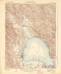
1938 · Lakeport
USGS Topo · 1:62,500

1938 · Hopland
USGS Topo · 1:62,500

1942 · Bartlett Springs
USGS Topo · 1:62,500

1943 · Pomo
USGS Topo · 1:62,500

1943 · Kelseyville
USGS Topo · 1:62,500

1943 · Hopland
USGS Topo · 1:62,500